Buckland Valley up in the High Country, Melbourne Cup weekend was going to be 4 days of great campsites, tough tracks with steep climbs, with sensational views with still snow peaked mountains in the background, oh yeah and a total of 53 river crossings.
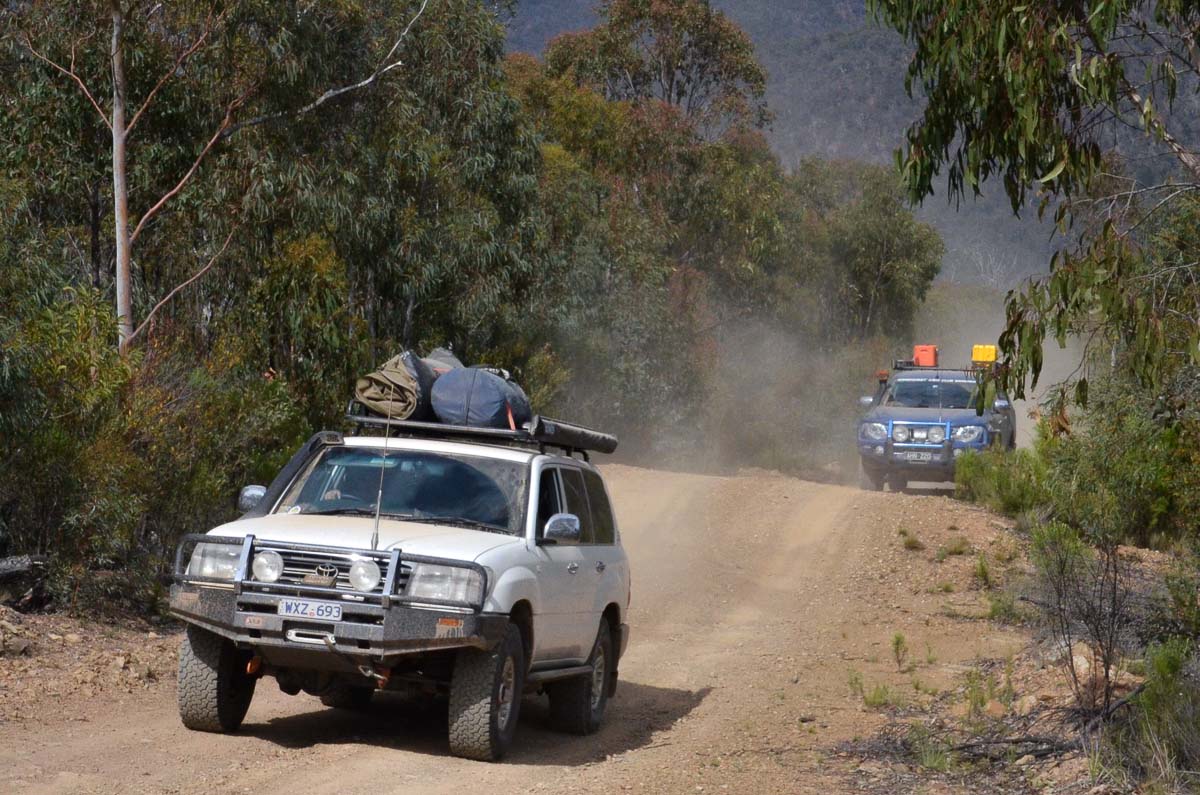
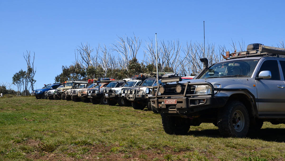
We know Buckland Valley for its gold mining back in the 1850’s and there is great history up there with the abundance of mine shafts spread across the hills through the valley. The trip wasn’t about exploring the history this time, we were taking 13 vehicles on an epic trip.
(Scroll down to the bottom for photos)
Day 1 – Bendigo to Camp Flat
Friday 2nd November 2018
We made our way over leaving Bendigo on the Friday at different times and we all met at Camp Flat Campsite, all finding a spot to set up in the large camp area.
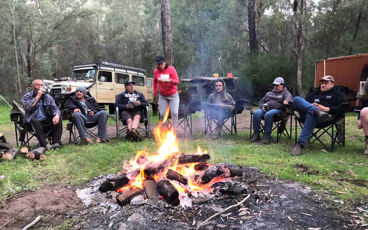
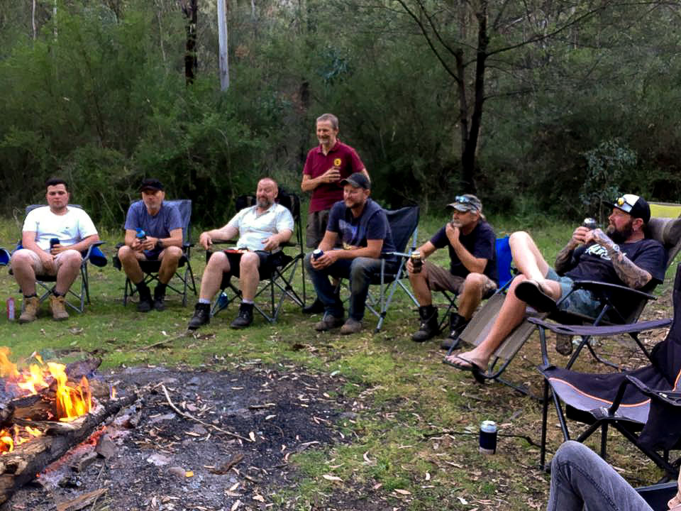
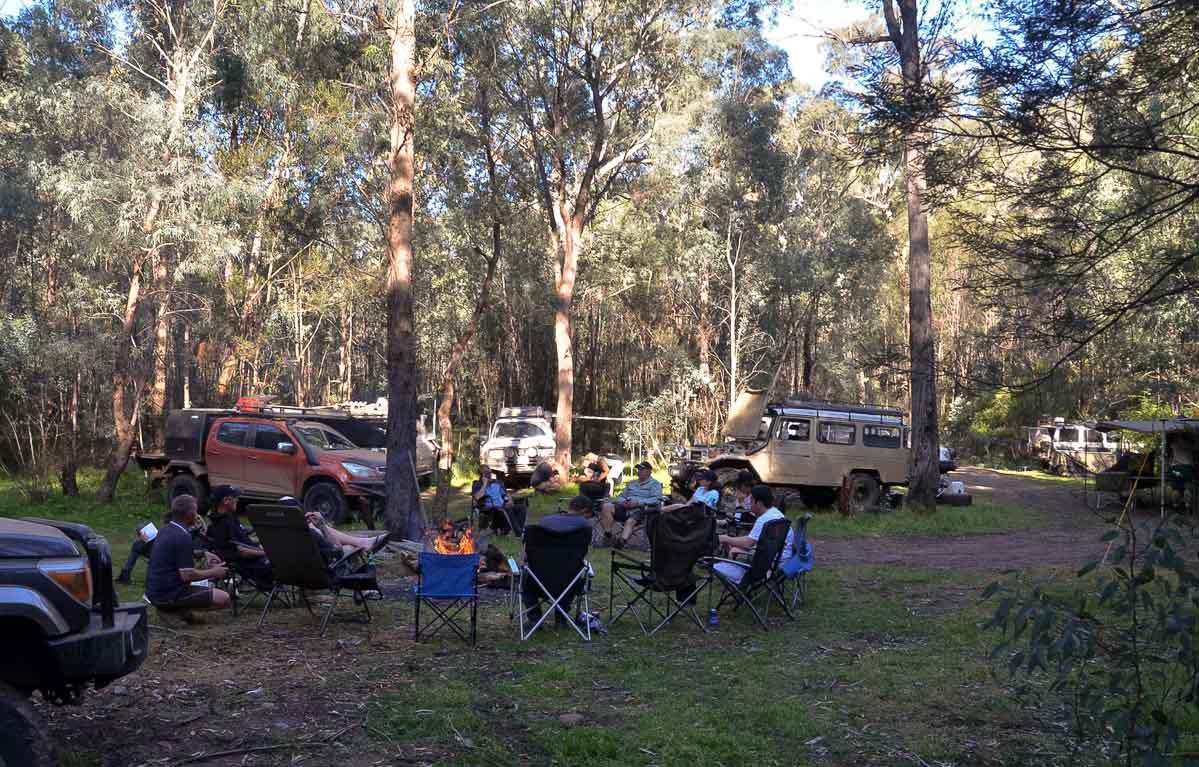
The fire was lit and we all gathered around full of excitement, talking about the weekend and what we were going to encounter. I personally had family up there at Camp Flat and spent the night catching up with them, as we catch up every 12 months.
Day 2 – Camp Flat to Talbotville
Saturday 3rd November 2018
Saturday morning we woke and everyone packed up fairly quickly, we had a quick briefing and we were on the tracks by 8.30am.
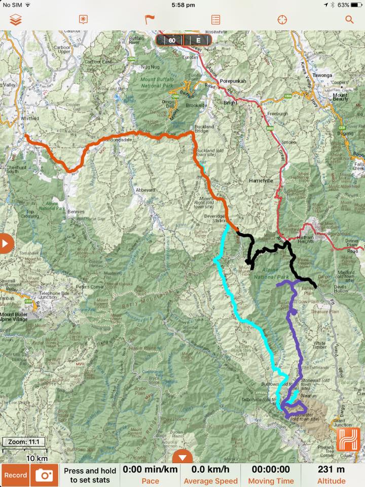
Heading out of Camp Flat passing plenty of mine shafts on the way we crossed the Buckland river getting onto the Buckland Valley Rd, (there are plenty of campsites along Buckland Valley Rd for anyone interested in the area).
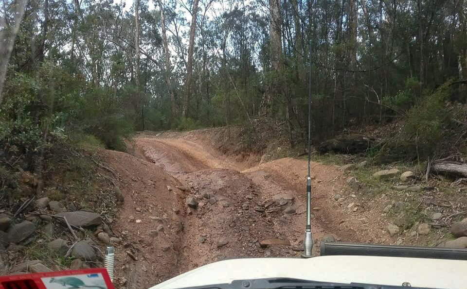
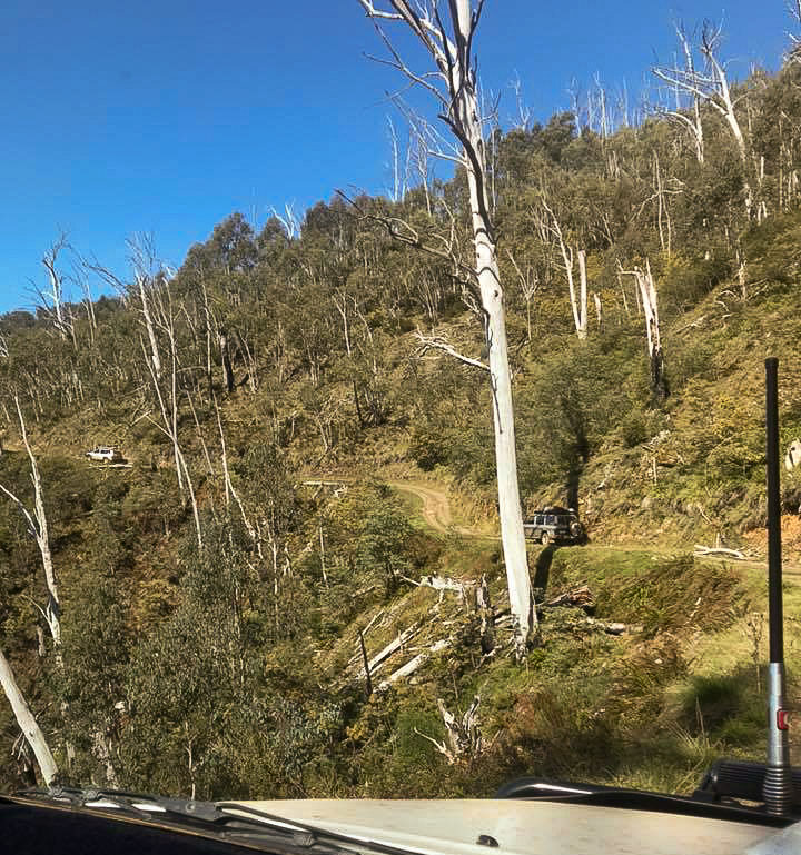
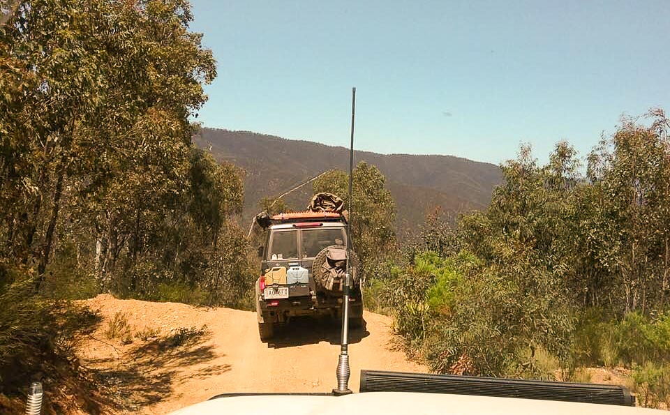
We got to the fork in the road and turned right up Mt Selwyn Rd heading up about 2-3 km, we turned left onto Dingo Creek Track, into Low Range and through a tiny creek and we were straight into it. This track is steep, rocky and slippery in spots, I heard over the UHF that motorbikes were behind us and kept falling over because it was so steep. We made it to the top and the track comes back onto Mt Selwyn Rd on the other side of Mt Selwyn.
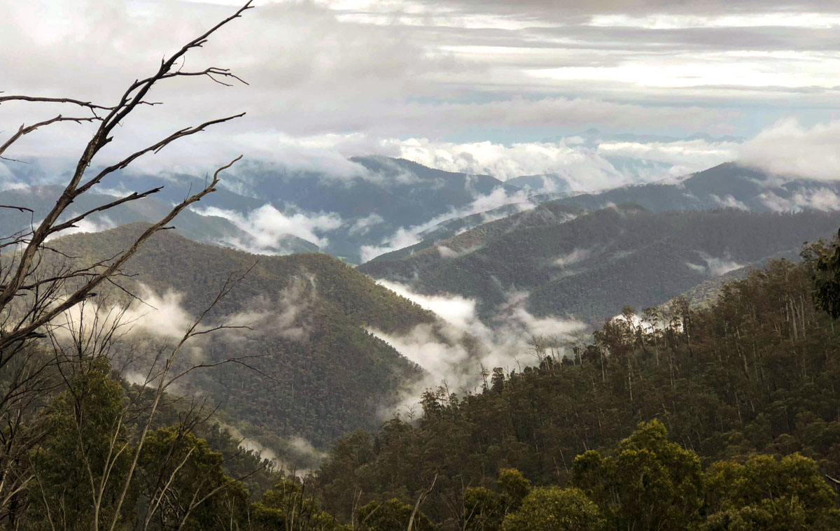
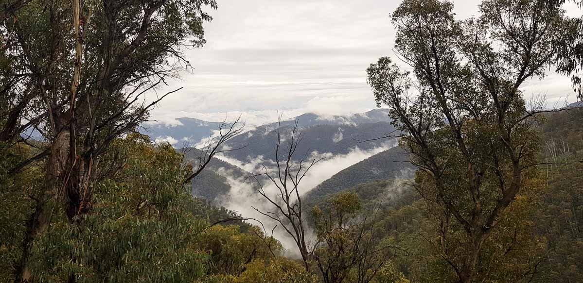
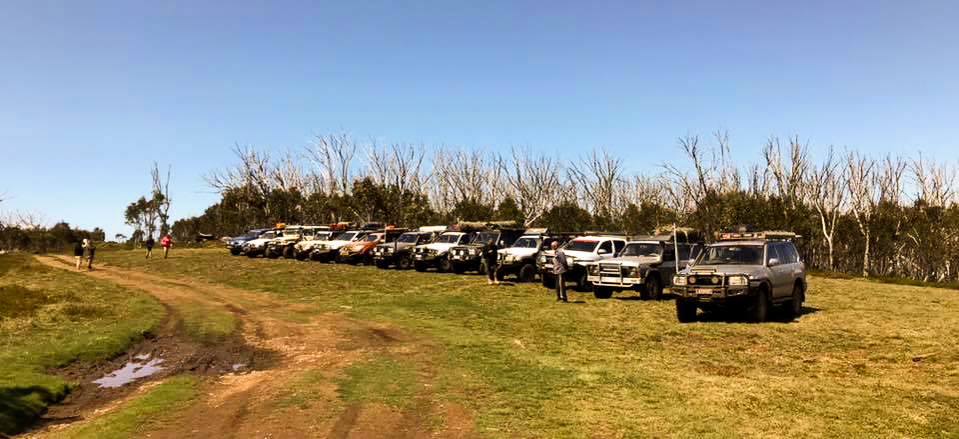
We turned right and headed for the Summit of Mt Selwyn, turning right again onto the Mt Selwyn Summit Track, it is a fairly overgrown, skinny track and the last climb up is really hard, rocky, slippery and plenty of holes to test your suspension out, on top there is only enough room for about 5-6 vehicles but we managed 11 vehicles at the top. Andrew was the last to come up, and we saw him bounce out of a hole and into a tree (thank god for scrub bars, there was no damage). On top of Mt Selwyn there are 360 degree views of the Valley and the whole High Country from 1425m.
Driving back down was easy and we went left onto Mt Selwyn Rd again, then this turns into Tea Tree Rd with a easy drive up to Mt Sarah where we stopped for an early lunch and a line up of the vehicles for a photo shoot.
After lunch we took off taking the Sarah Spur Trk passing Guys Hut which has been blown down now. The track takes you through some big bog holes then a steep decline which looks like you are driving straight of the mountain; this track takes about 2 hours to drive, heading down and through the Wongungarra River and then it’s a steep 1st gear Low Range climb to the Bald Top Helipad.
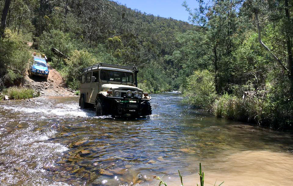
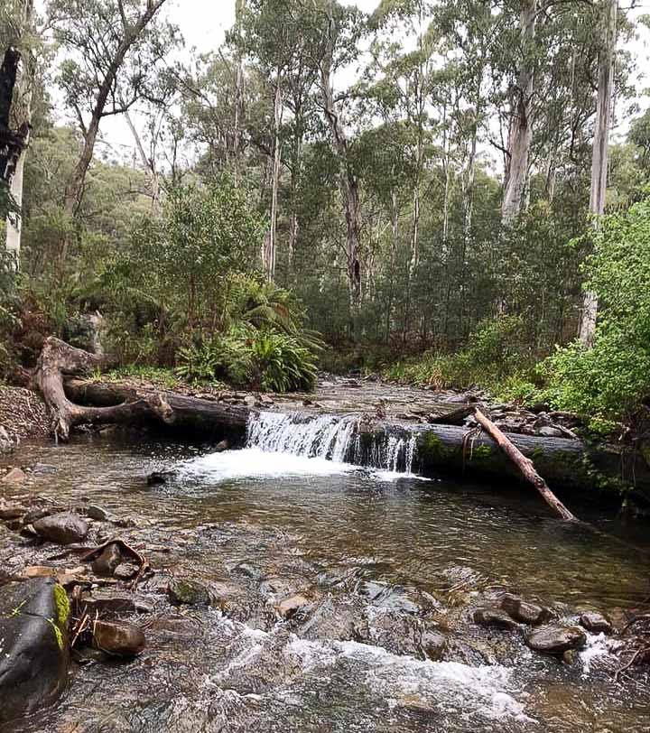
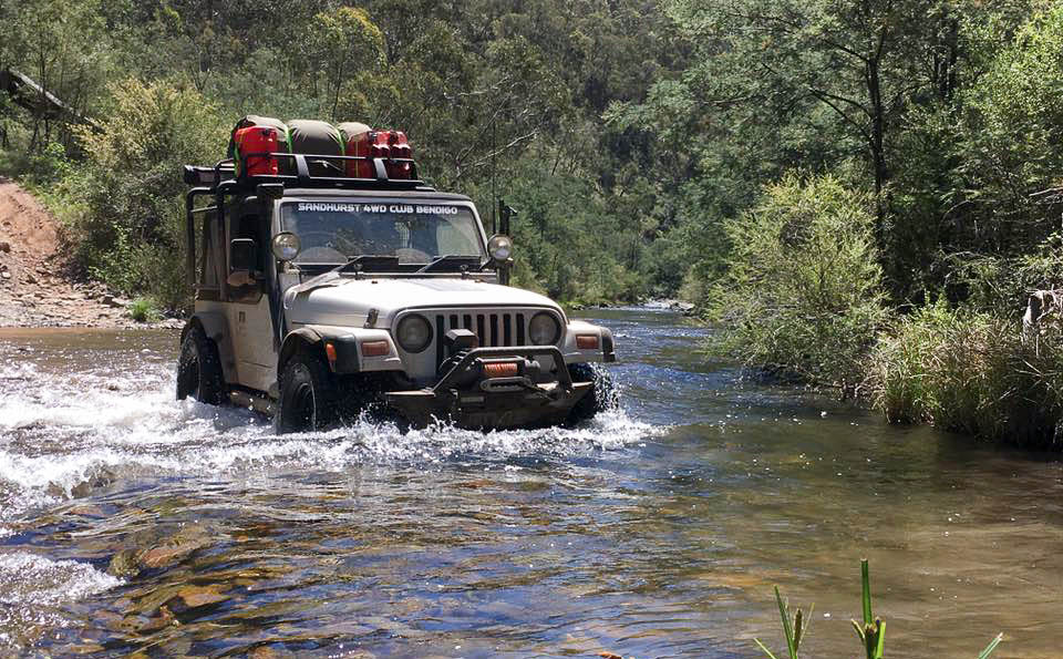
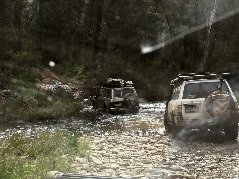
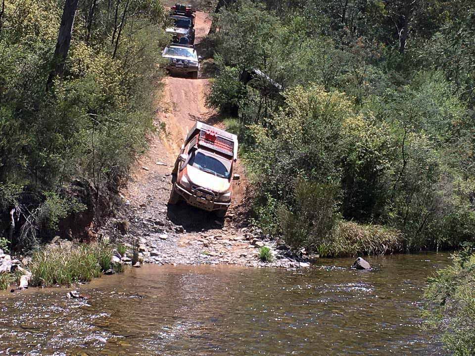
Finally we get to Brewery Rd and turning right towards Talbotville, we started collecting wood along the way. We got into Talbotville crossing the Crooked River and into the Campground. Talbotville was full so we kept on going and took the Crooked River Trk going through the 24 river crossings (trying to find a camp to fit 12 vehicles was going to be difficult), we couldn’t find a camp so we headed back towards Talbotville finding a nice little spot just after the 3rd crossing and the start of South Basalt Knob Trk, tucked away in the bush we had a big fire and and a great night.
Day 3 – Talbotville to Dargo High Plains
Sunday 4th November 2018
Sunday morning we woke after a good night sleep and some having a little sleep in, we managed to get onto the tracks by 8.30am.
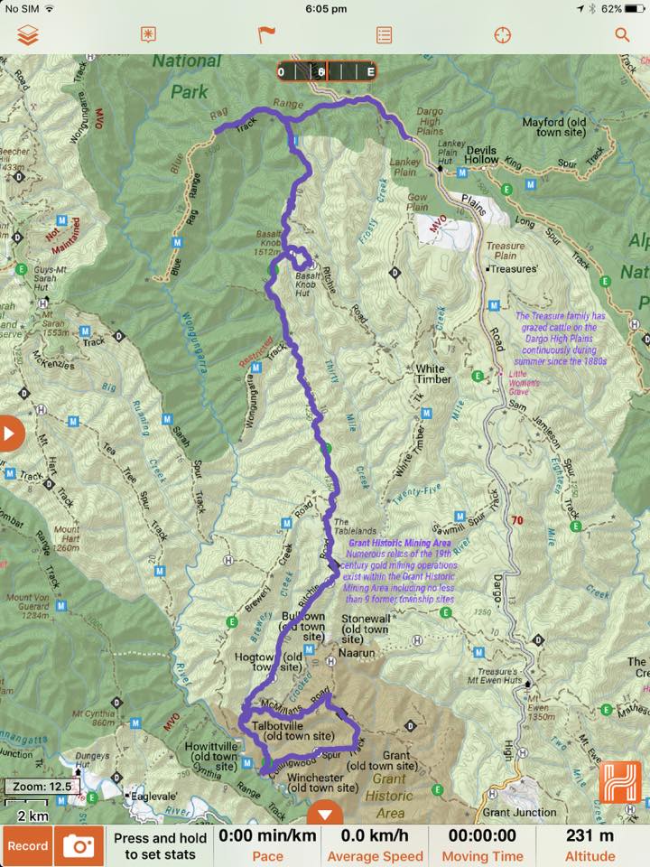
Dale P informed me that he had to leave the trip because he had no brakes or hand brake in his 47 series Landcruiser , so we headed back through Talbotville and took the Crooked River Rd. When we got to Collingwood Spur Trk Dale left the trip here and headed for Dargo. Meanwhile, we turned left up Collingwood Spur Trk, which is a great little steep track taking us up to the top of the Helipad with views back to the Pinnacles and Billy Goats Bluff Trk. The track then winds it’s way around to Mcmillian Rd turning left and back into Talbotville.
At Talbotville we turned right back onto the Crooked RIver Trk through 3 river crossings and up South Basalt Knob Trk. This track is just steep, straight up with rock steps that you have to negotiate all the way to the Helipad, and this is where Leigh and his Jeep had trouble and broke the bolts in his tailshaft. Leigh had to reverse all the way back down and this where he left the trip as well to head back to Dargo to fix it.
We headed along South Basalt Knob Trk which has a few more steep little sections but not to bad at all, then the track turns into Ritchie Rd and we were back into 2wd. We stopped at the Old Railway Carriage for lunch.
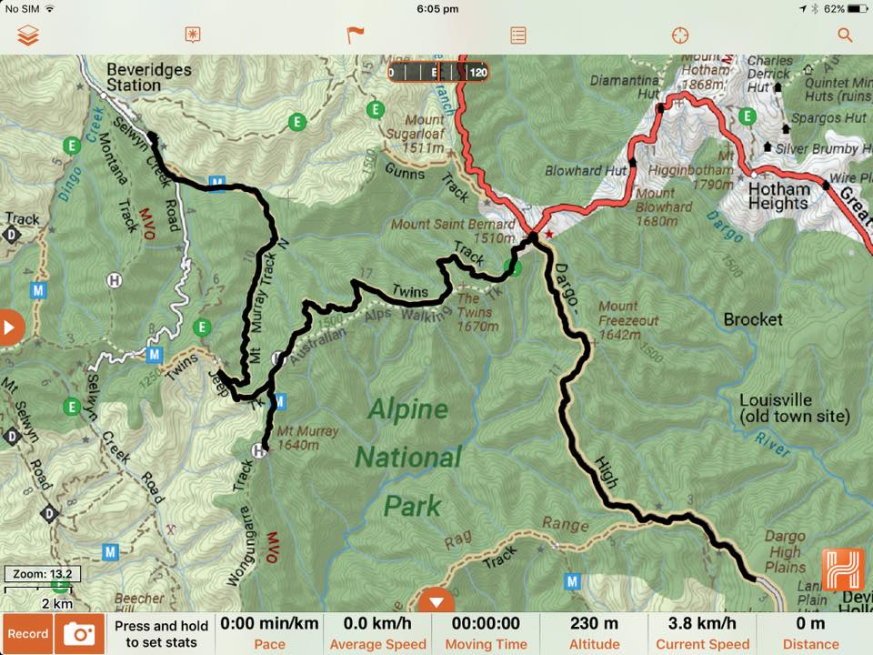
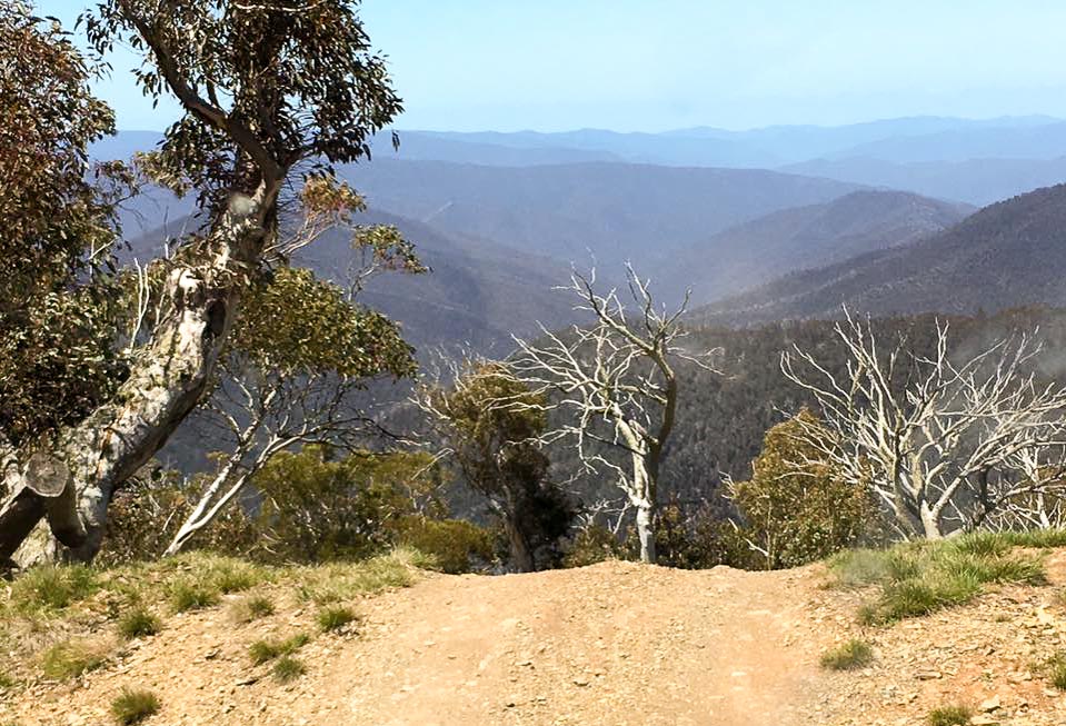
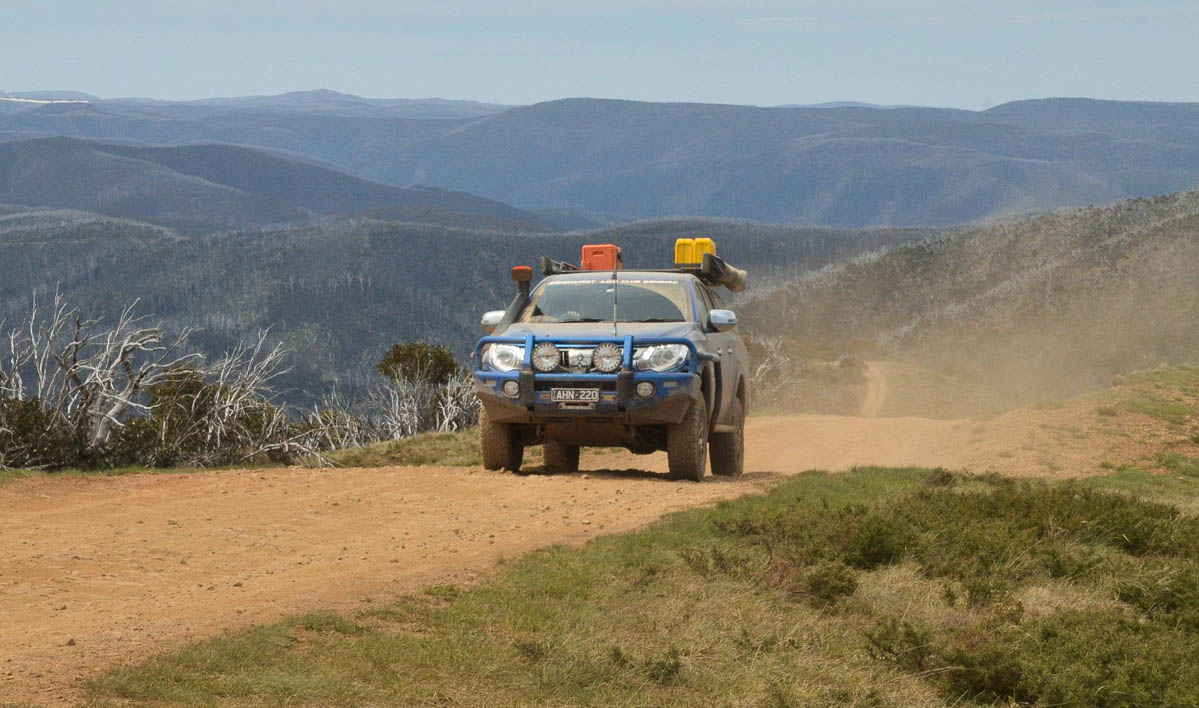
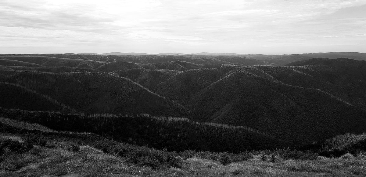
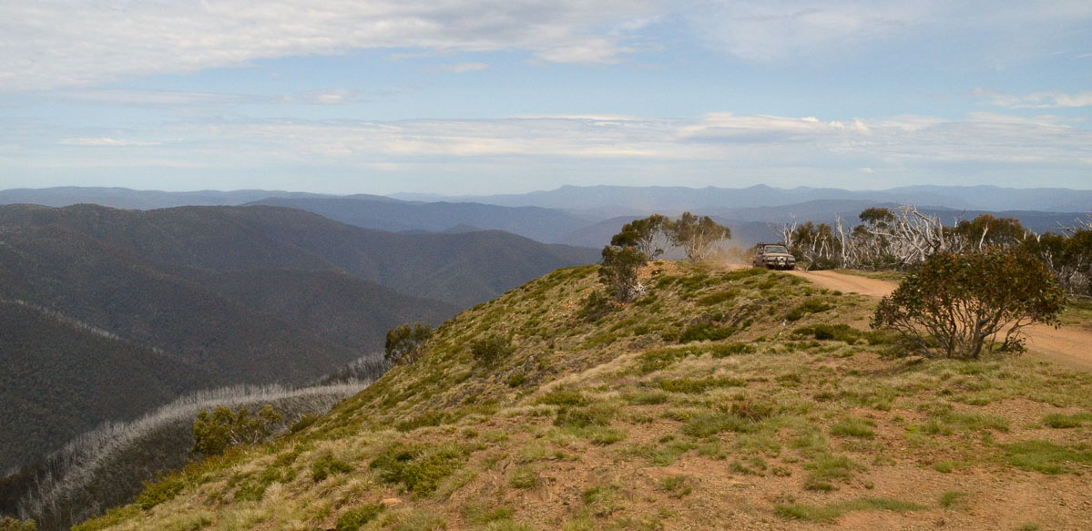
After lunch we took the North Basalt Knob Trk which is a nice little rocky track with a tight switch back up to Blue Rag Trk. At Blue Rag we turned left heading up the ridge-line which is one of the most spectacular drives in Victoria. It was fairly busy up there with plenty of other vehicles in the area. We finally made it to the Trig Point and it was a beautiful clear day and the views were sensational, especially Mt Hotham still covered in snow.
We didn’t want to leave, but after about 45 mins of admiring we headed off back along Blue Rag to Dargo High Plains Rd turning right and headed up here for about 2km to a great campsite up on the High Plains. We fitted 10 vehicles in easily, and after we set up camp there was plenty of fire wood to cut for the fire as it gets very cold overnight on the High Plains. So after a night of laughter and Andrew bringing out these big words that I can’t even remember, we headed off to bed.
Day 4 – High Plains to Beveridges Station
Monday 5th November 2018
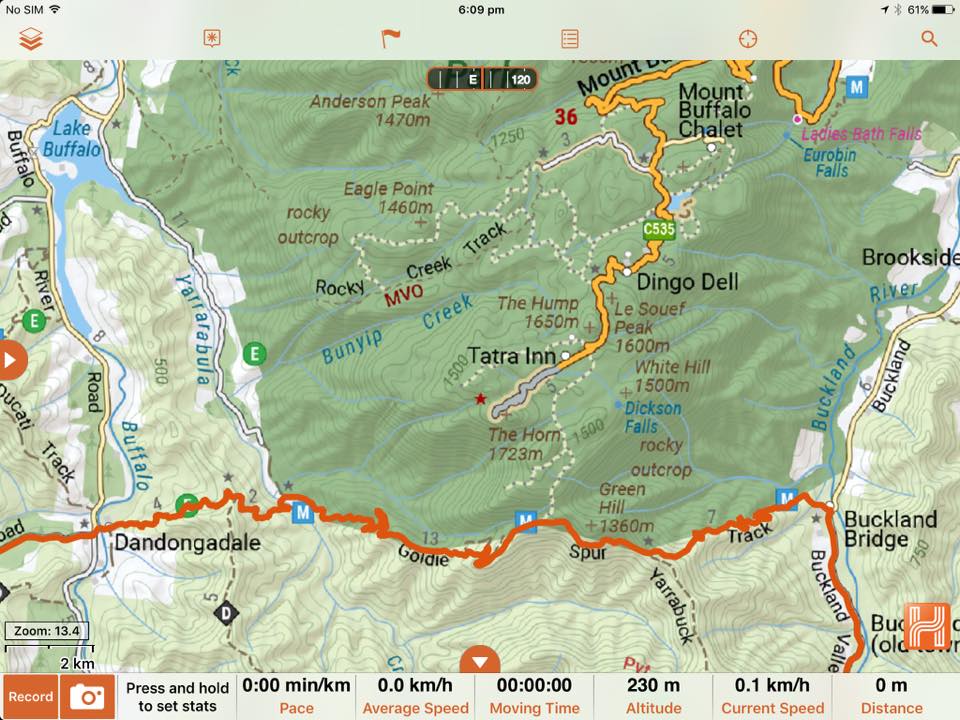
Monday morning we woke to rain and wind, so most of us were able to pack up quickly before getting to wet. Ian and Trish headed of early for home this morning and we were on the road by 9am travelling the Dargo High Plains Rd towards Alpine Way the clouds had come in so we didn’t get to see those views on the way out.
Soon as you get to the Alpine Way it’s a sharp left onto Twins Jeep Trk, this track usually has sensational views but was restricted by the low lying cloud cover and rain; every now and then it would clear for the views and a photo.
We continued up to Mt Murray when I realised that I’ve done a CV because I had only rear wheel drive; I kept on going and it didn’t slow me down. On reaching the top of Mt Murray the cloud cover was that bad you couldn’t see in front of us so we headed back down turning left back onto Twins Jeep Trk through the gates and a right down Mt Murray Trk. It’s a great easy drive with heaps of tree ferns and little river crossings.
We found a dead tree along the way that had been cut up, so we split it up and loaded the tree onto the vehicles for the fire and headed into Buckland Valley. We pulled into Beveridges Station at about 11am then I had to tell everyone that I’d done a CV and that was my weekend done.
5 of us set up camp and Brett, Nathan, Dale H and Phil headed for home. For the rest of the afternoon we just sat around the fire, went for walks around Beveridges Station, turning in early that night as we were very tired.
Day 5 – Beveridges station back to Bendigo
Tuesday 6th November 2018
Tuesday morning we woke to a very dark sky; it was about to pour rain and we were expecting 20-40mm. It came down at about 8am, Greg and Jarrod had packed up quickly and took off heading for home and I took off at 8.30am to get the Toyota home to see what damage that I’d done, Seb heading out just after me heading out the Buckland Valley Rd and airing up at the Buckland bridge in the rain.
Paul, Fiona and Andrew decided to take Goldie Spur Trk around the back of Mt Buffalo getting into a bit of trouble as the track had been Bulldozed and made travelling very slippery, before getting onto Rose River Rd and having lunch at the Mountain View Hotel in Whitfield before heading home.
And I did snap my right CV in half.
-Russ
Participants
- Russell (105 Landcruiser)
- Shannon (76 Landcruiser)
- Phil (BT 50)
- Seb (Colorado)
- Paul and Fiona (80 Landcruiser)
- Brett (Hilux)
- Greg and Jarrod (Nissan Patrol)
- Leigh (Jeep)
- Nathan (Nissan Patrol)
- Dale H (105 Landcruiser)
- Dale P (47 Landcruiser)
- Andrew (Triton)
- Ian and Trish (Nissan Patrol)

Additional – Andrew, Paul and Fiona’s detour around Mt Buffalo
Tuesday 6th November 2018
Buckland Valley to Buckland Valley trip report – the extra chapter. (by Merts)
On Tuesday morning most of the remaining people left to head back home, taking the direct route out to Porepunkah. Paul and Fiona had decided they would take a 4WD track or two before getting onto the bitumen. I decided that sounded like a good idea, so we headed off in a two vehicle ‘convoy’. The plan was to head up over Goldie Spur track, and then take the Yarrarabula Creek track north to Lake Buffalo where we would hit the bitumen and the highway drive home.
We headed off north down Buckland River Road and turned left onto Goldie Spur track at Buckland Bridge. There are some reasonably steep sections but it’s well graded and rocky, so the heavy rain we were having didn’t have much effect. The views were hampered by lots of low cloud, but the glimpses I got from time to time convinced me I should drive it again when it’s clear weather.
As we were coming down the hill towards the intersection with Yarrarabula Creek track Paul came on the radio asking if I wanted to head to Lake Buffalo or continue west on the SEC Access track which links up with the Rose River Road. ‘Why not stay on the dirt’ I said, having just been eying off the track as it weaved its way up the other side of the valley. The first half of the track was very easy, much like Goldie Spur but flatter, with a few gentle climbs but more or less following the contours.
About half way along the track we passed an excavator parked off the side of the track. They’d been doing some widening and shaping. The track just past that point was rough but still easy with good grip. Then around another couple of bends we came across a parked dozer. This was past where the track started to get steeper as we descended into the Rose River valley. The track after that point had been reshaped and widened by the dozer and the now very wet and smooth surface was extremely slippery and very soft in places.
Paul said on the radio that he was going to put his rear locker in and almost immediately after that his rear stepped out. He got the locker on and managed to straighten the vehicle up and crawl down the slope. I put my rear locker in as well, and I also had a little moment trying to stop to do so. We both crawled down the hill trying not to slide off the side of the track as the drop off was very steep. After a couple of kilometres of pretty scary ‘just in control’ crawling down the track hugging the cut batter side of the formation we made it to the bottom.
We then enjoyed a relaxing drive along Rose River Road to Cheshunt where we aired up, before continuing to Whitfield for a very nice lunch at the Mountain View Hotel, and then headed for home.
-Andrew
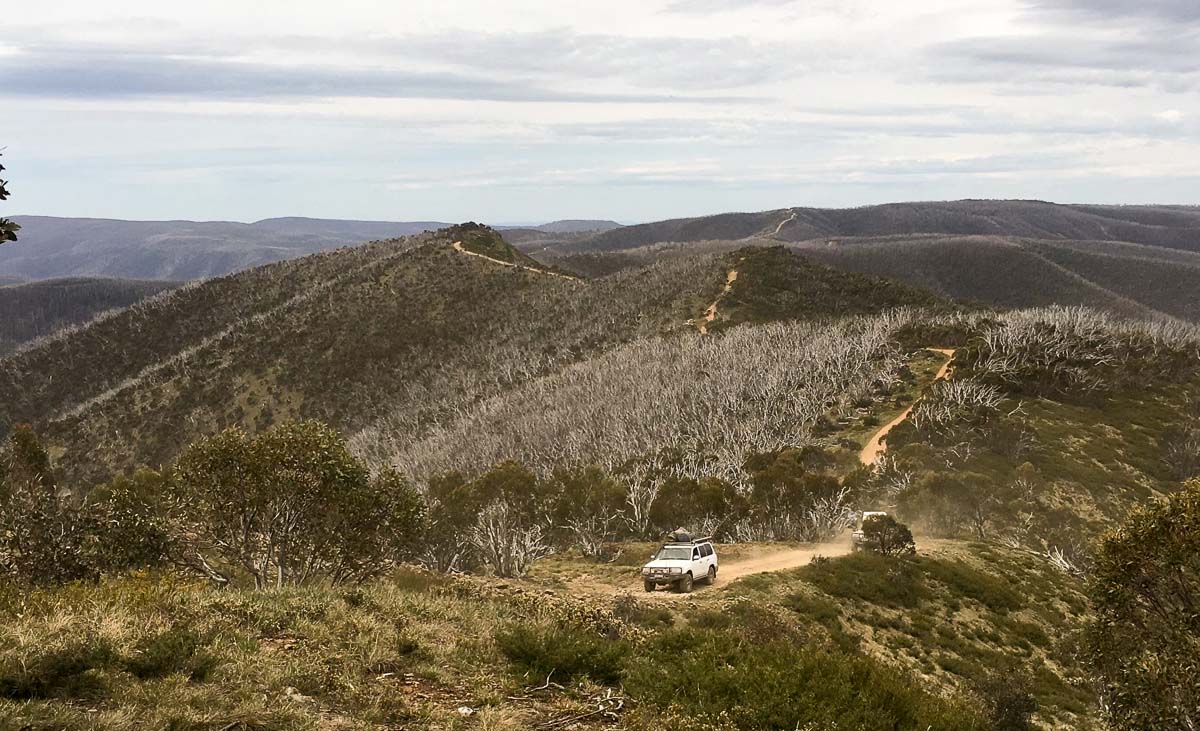
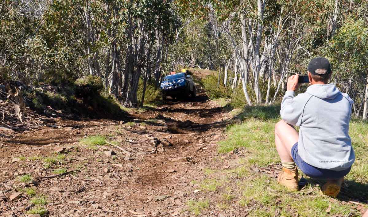
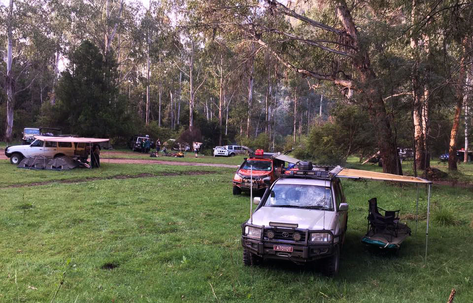
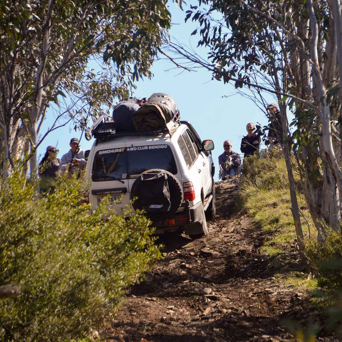
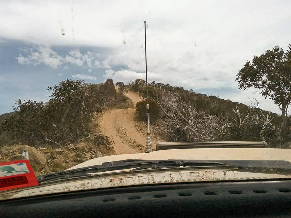
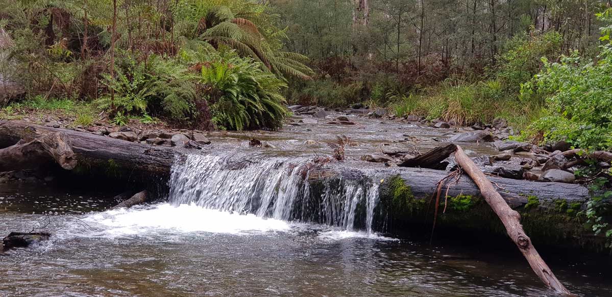
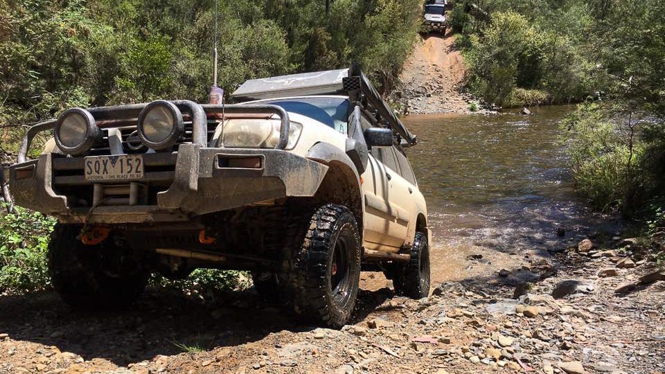
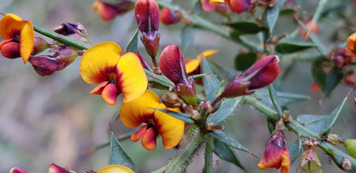
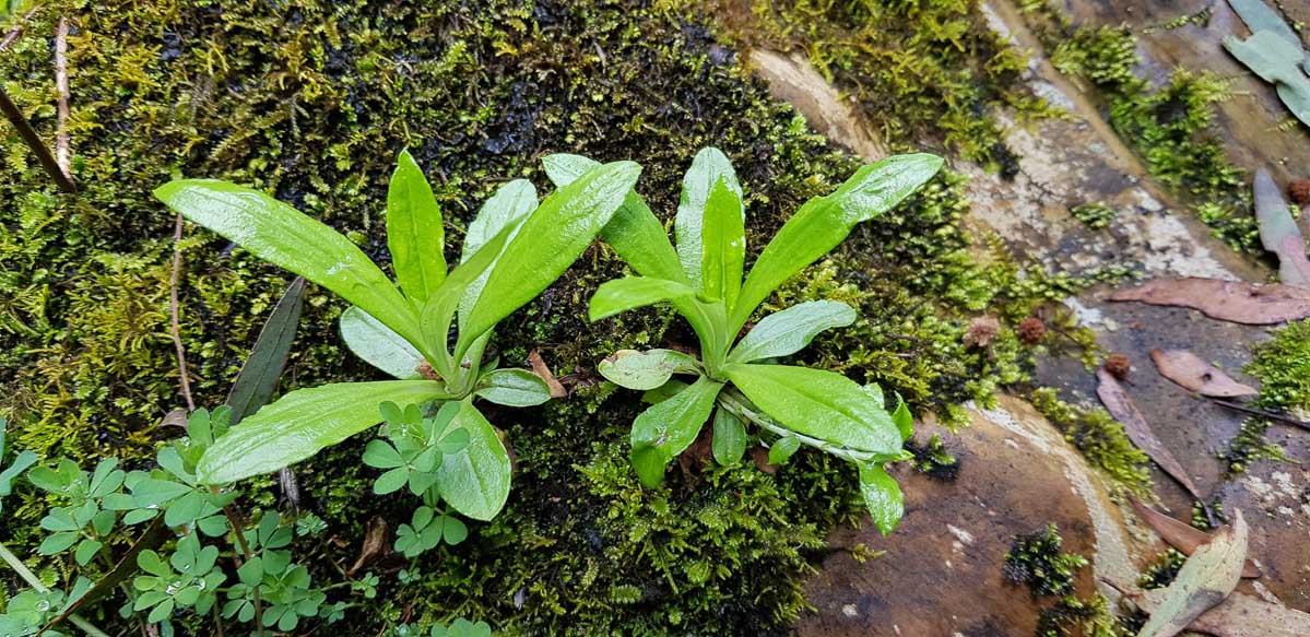
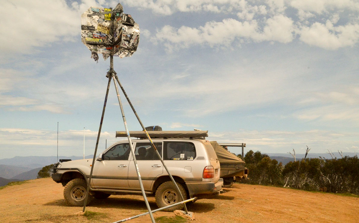
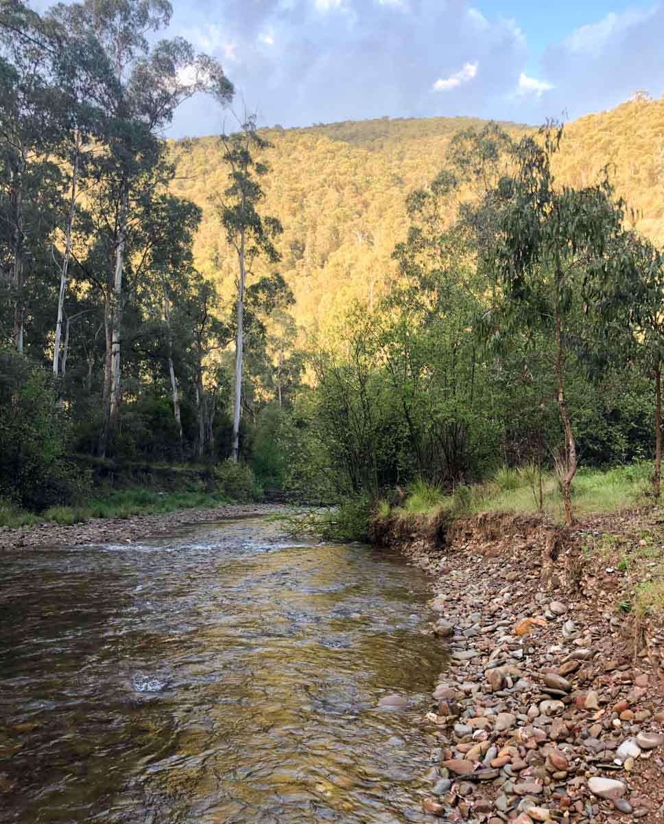
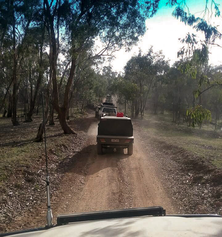
Photos, we have more than 200 photos that the members put together for this trip click here to view the full gallery.
Here’s a sample of a few of the good ones…

Photos thanks: Russ, Andrew, Brett, Fiona, Lachlan, Nathan and Phil


