A 10 day epic from Corryong to Lakes Entrance, where we were going to reach heights of 1750m going over Mt Pinnabar and Mt Gibbo, visiting places the Club hasn’t been before. Before the fires went through in 2020 these areas were full of lush foliage and green with lots of trees. Now the whole area looks like an open burnt-out place.
The trip was in two sections. The Easter Trip and then the extended trip down to Lakes Entrance. We had 16 vehicles for the first part and 6 vehicles for the second part.
We left on the Thursday before Good Friday with everyone making their way to our first campsite at Nariel Creek Campground just before Corryong on the Nariel Creek. I traveled over with 8 vehicles, stopping at Violet Town at the pub for a meal then we headed along the Hume Hwy until we got to the Wodonga turnoff where we turned into town and fuelled up. After fuelling up we headed towards Corryong on the Murray Valley hwy until we got to the Benambra-Corryong Road and camp was about 2km up on the left hand side. We went through the gate, closing it after us, arriving there about 10.00pm. Allan and Sim were already there with a small fire going so we set up camp and sat around the fire had a couple of beers and then headed for bed.
Good Friday
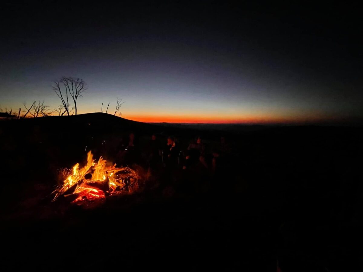
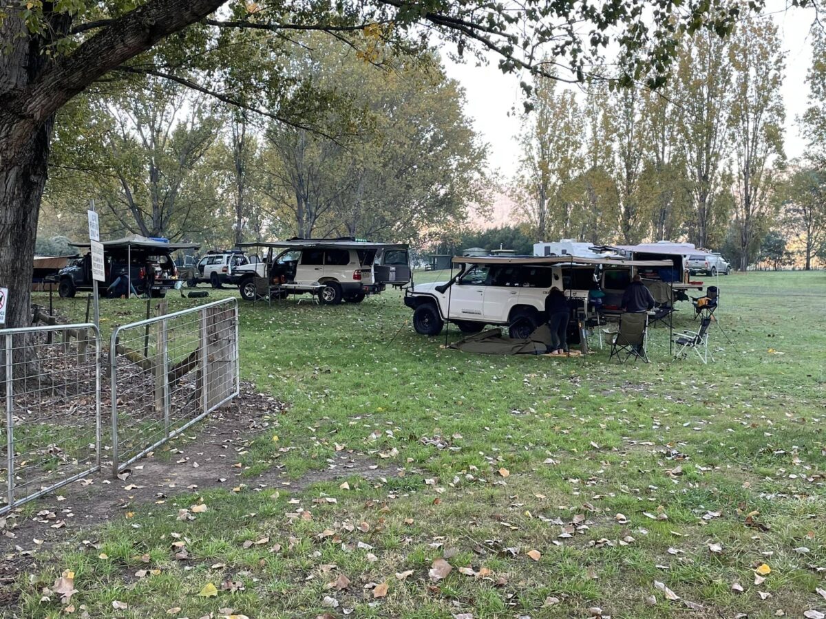
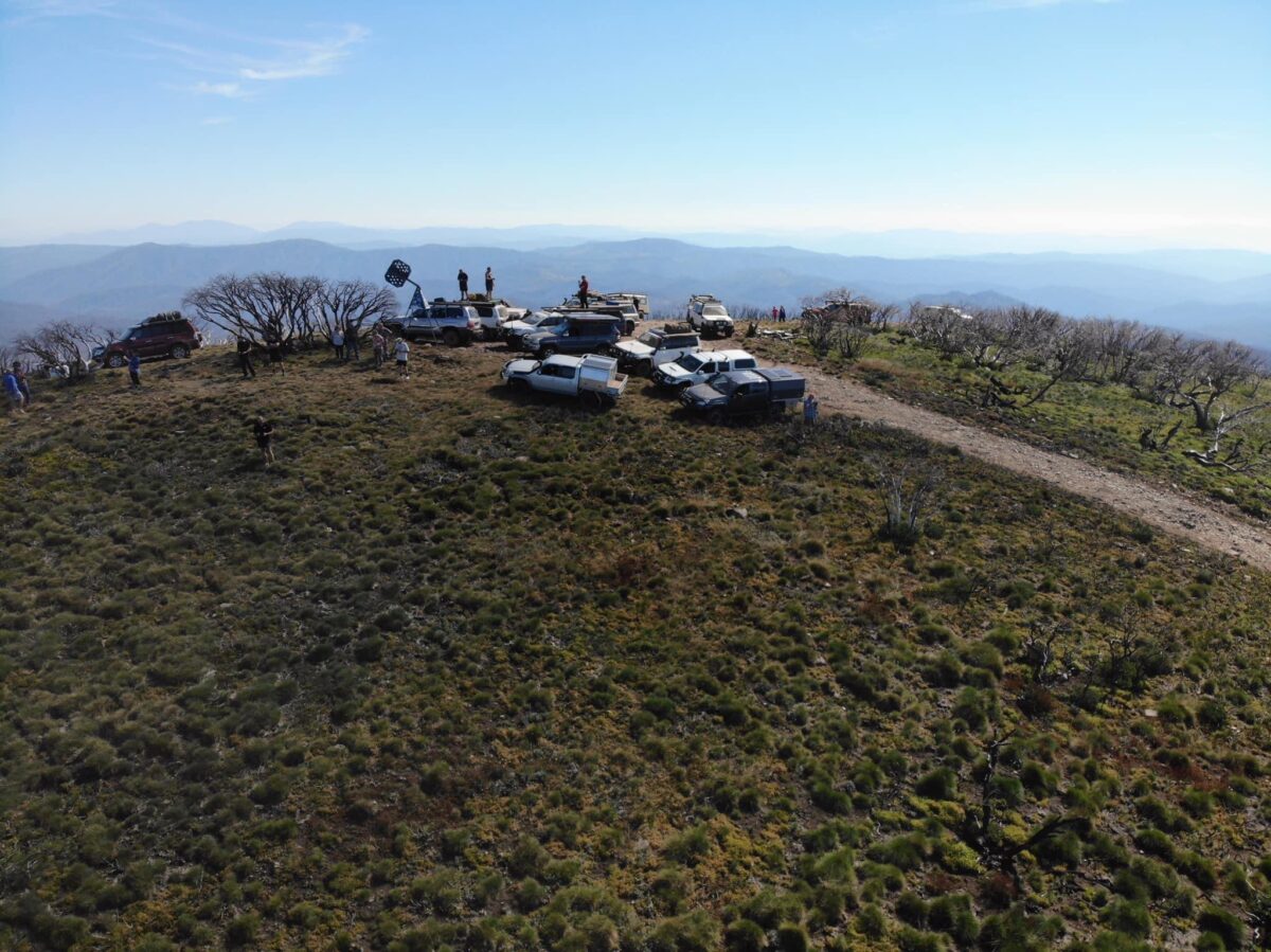
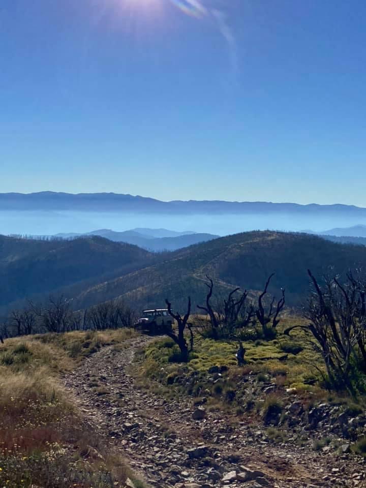
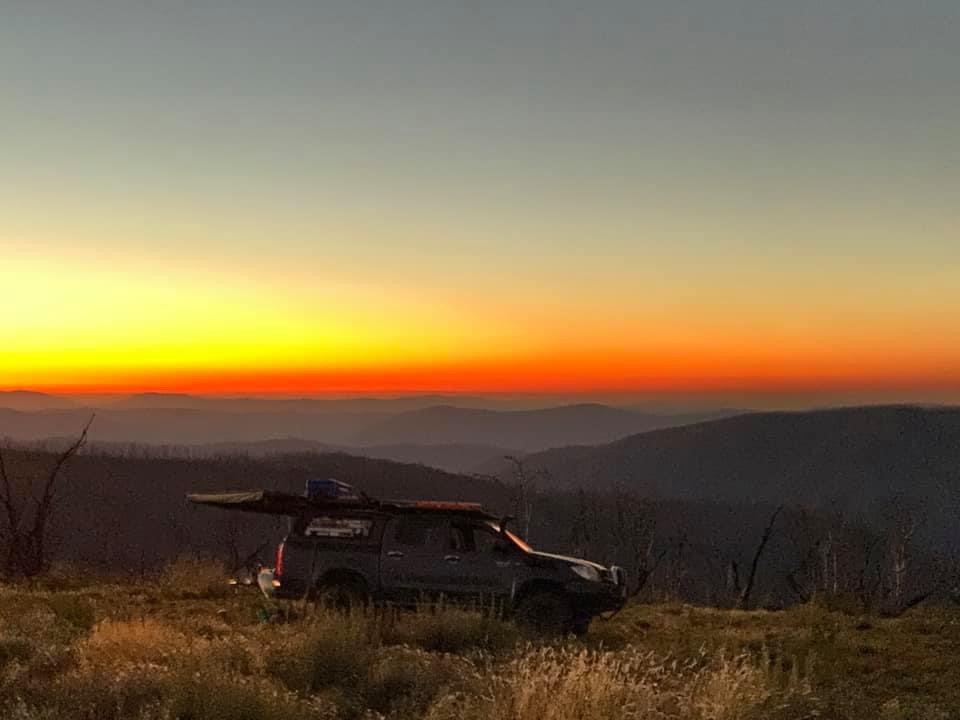
We woke to a beautiful morning, a little cold but with no wind and the campsite was sensational with big Poplar trees for shade. It’s where they hold the Folk music festival. By 8.30am everyone had arrived at camp and some had a quick breakfast before we had a briefing on the days events and the dust that would be around as we had 16 vehicles. We also discussed stopping at corners and waiting for the vehicle behind you to catch up. We headed out of camp at 9.00am, turning left along the Benambra-Corryong Road. Then after about 4kms we turned left onto Nariel Gap Road heading up to Thowgla Upper hoping to take Nariel Gap Track, but we found it was closed due to maintenance from the fires, so we kept on going turning right onto Thowgla Road. It was a nice little drive through the valley past some houses. When we got to Grays Track we aired down. We turned left and headed along for a while and then we got into 4wd. We went past the small river crossing and then shifted into Low Range and started to head up towards Mt Elliot. Once we got to Mt Elliot Track we had a quick break. We turned right along the Mt Elliot Track which takes you across the high ridge and then heads down to Walkers Log Road where we turned left onto Mt Baldy Track hoping to get around to Mt Pinnibar. As we got down the bottom we met a guy and he said that all the tracks down further were closed, so we turned around and headed back to Walkers Log Road and we headed along that dirt road in 2wd for a bit until we got to Mt Pinnibar Track. As I turned in I was told to stop because a rock had gone through my rear left tyre. We all pulled up and changed the tyre and then we had lunch. After lunch we headed up Mt Pinnibar Track. After the fires the track has really changed from a rocky climb to a fairly easy climb. We made it to the top of Mt Pinnibar at 1773m and enjoyed very good views. After a look around we headed down to the Mt Gibbo Track and turned right and as it was almost 2.30pm I thought we would head to Mt Anderson and camp for the night. At the top is fairly open and we all found a spot to camp and we lit the fire and had a magical night with the sunset going down until we all made it to bed after a few drinks.
Saturday 3rd April
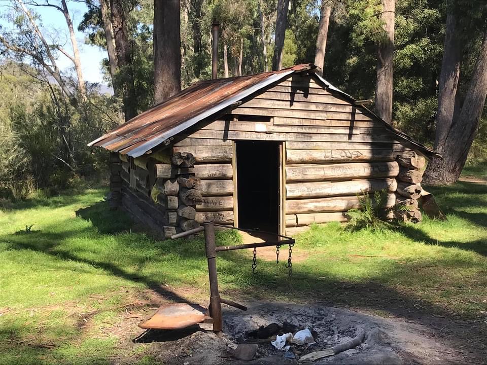
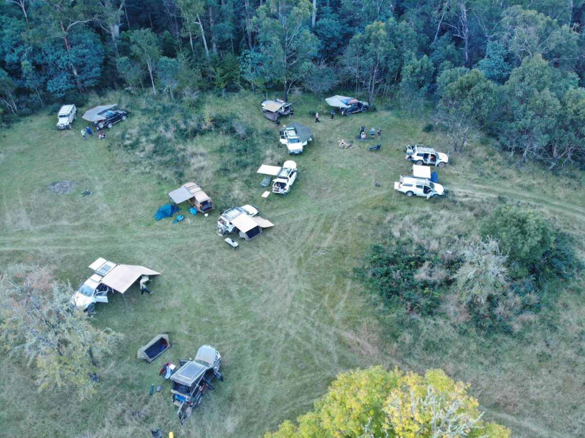
We woke to another magical sunrise so we packed up camp and after a quick briefing on the day we were on our way along Mt Gibbo Track up to the the top of Mt Gibbo. Before we got there, there was a very nice little rocky climb to get up first. We made it fairly easy to Mt Gibbo at 1750m. We made our way down the other side which is a steep descent and we continued along Mt Gibbo Track until we got to Beunba Log Road where we shifted into 2wd for a little until we turned right onto Pheasant Creek Track. At the start I thought this track is very easy but then we got into Low Range and the track was very overgrown with long grass. The track then heads straight down a very steep 1st gear Low Range slope. Then you go through a pretty little river crossing and on the other side is a little campsite where we had a quick break. We took off again and the climb out is very steep but is a good rocky track with plenty of grip. At the top we turned left onto RWAP Track which is an easy drive down to Beloka Road where we had lunch on the side of the road. After lunch we headed along Beloka Road and it was a beautiful drive with big ferns and trees. When we got to the river crossing we shifted into Low Range and climbed out of the valley up to Buenba road where we turned left just to check out a campsite. It was a very open area but overgrown with long grass, so we headed back along Buenba Road until we got to Mt Hope Road where we turned left. The road had just been graded and it was as dusty as hell. We had the dust for about 5 km until we turned right onto Buckwong Track and headed down passing the Buckwong Hut which was closed so we couldn’t have a look in. We kept on going up onto McCarthys Track and headed along there and then down to the Poplars campsite. We got there just after 3.00pm and found a camp near the old burnt-out toilet. Soon after heaps of 4wds headed in looking for a campsite as well so we were very lucky to have arrived before them. We set up camp and cut firewood ready for a fire that night, then most of us went down to the river for a well-earned swim in the Murray river. It was very cold, but it was sensational. The fire had been lit we all started to cook dinner and then we sat around the fire for the night.
Sunday 4th April
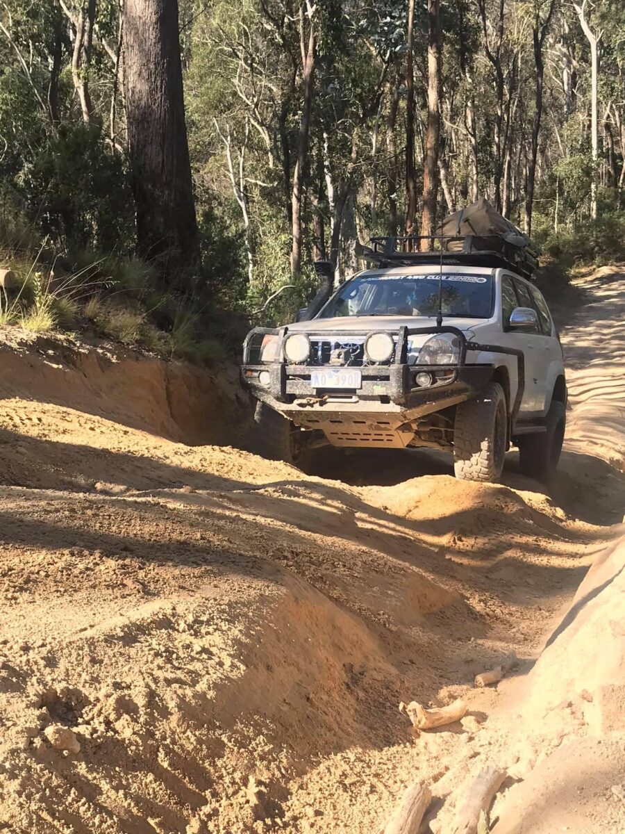
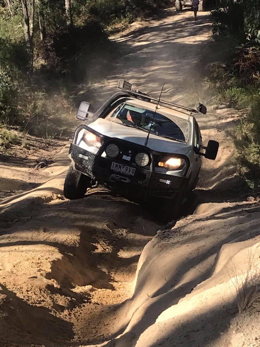
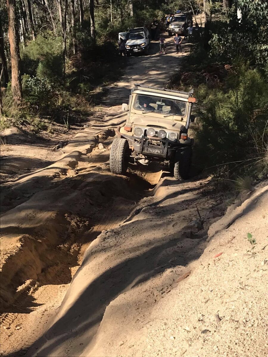
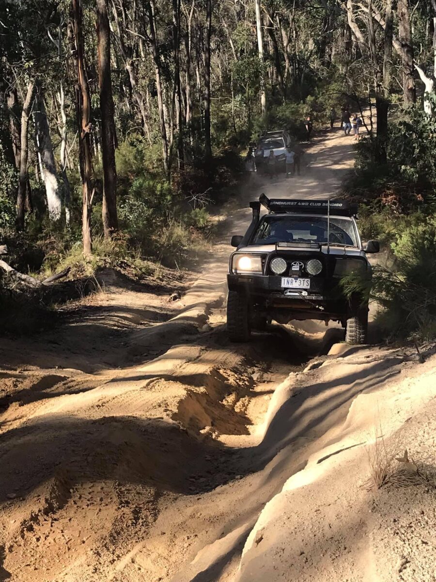
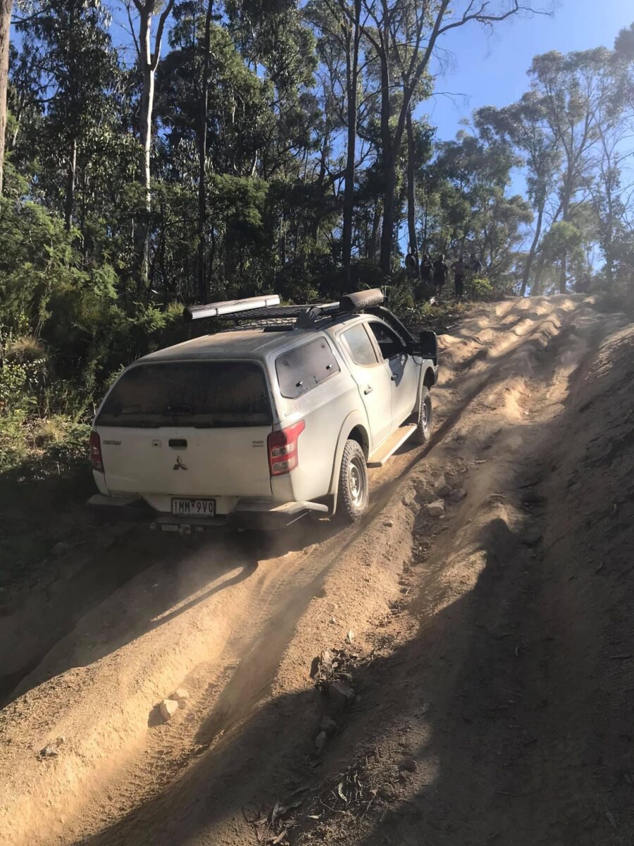
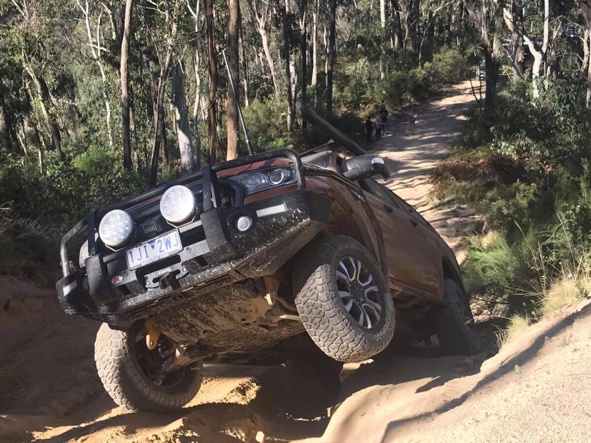
This morning was a bit slow as everyone had a big night we had breakfast and packed up slowly, but still managed to get going just after 9.00am. We headed out of the Poplars campsite and turned left onto Limestone Track. This track is great to drive with plenty of ascents and descents and river crossings as well. We got around to Limestone Creek campsite and what a great campsite it is! Very open and grassy, so we had a quick break here and had a look around. We then continued along coming out onto Limestone Road, where we turned right and shifted back into 2wd. We headed along here until we got to Beloka Road where we turned right up the dirt road and then left onto Oakleys Track. It’s a very easy track that takes you across to Benambra-Corryong Road. Then down a little and we turned right onto Tablelands Road which is a dirt road that takes you to Taylors Crossing where you cross the Mitta Mitta River. There were people everywhere and camped on the side of the river, so we kept on going on to Kennedys Hut. At the hut we had a good look around and some lunch. I was going to camp here but the area was too small to get all of us in so we kept on going and we headed up JP Gap Track. On the map it has three steep sections and as we continued up vehicles were coming down and the drivers just said “good luck”. When we got to the first hill it was steep and rutted really badly. We all made it up easy and then we got to the second hill which was steep and rutted as well. Most of us made it up but some had to be winched up as they just couldn’t make it through the ruts. That took about 1 hour to get all 16 vehicles through. We had one more hill and it was steep but easy to climb. At the end we turned right onto Four Mile Track and down to Wombat Post Office Hut. The campsite down there is a really big one on one side of the river near the hut, and another one on the other side of the river. We cut wood for the fire and then went for a swim in the Wombat Creek. We got the fire going and cooked dinner, followed by a night around the fire with a very political conversation about nothing until 2.30am.
Monday 5th April
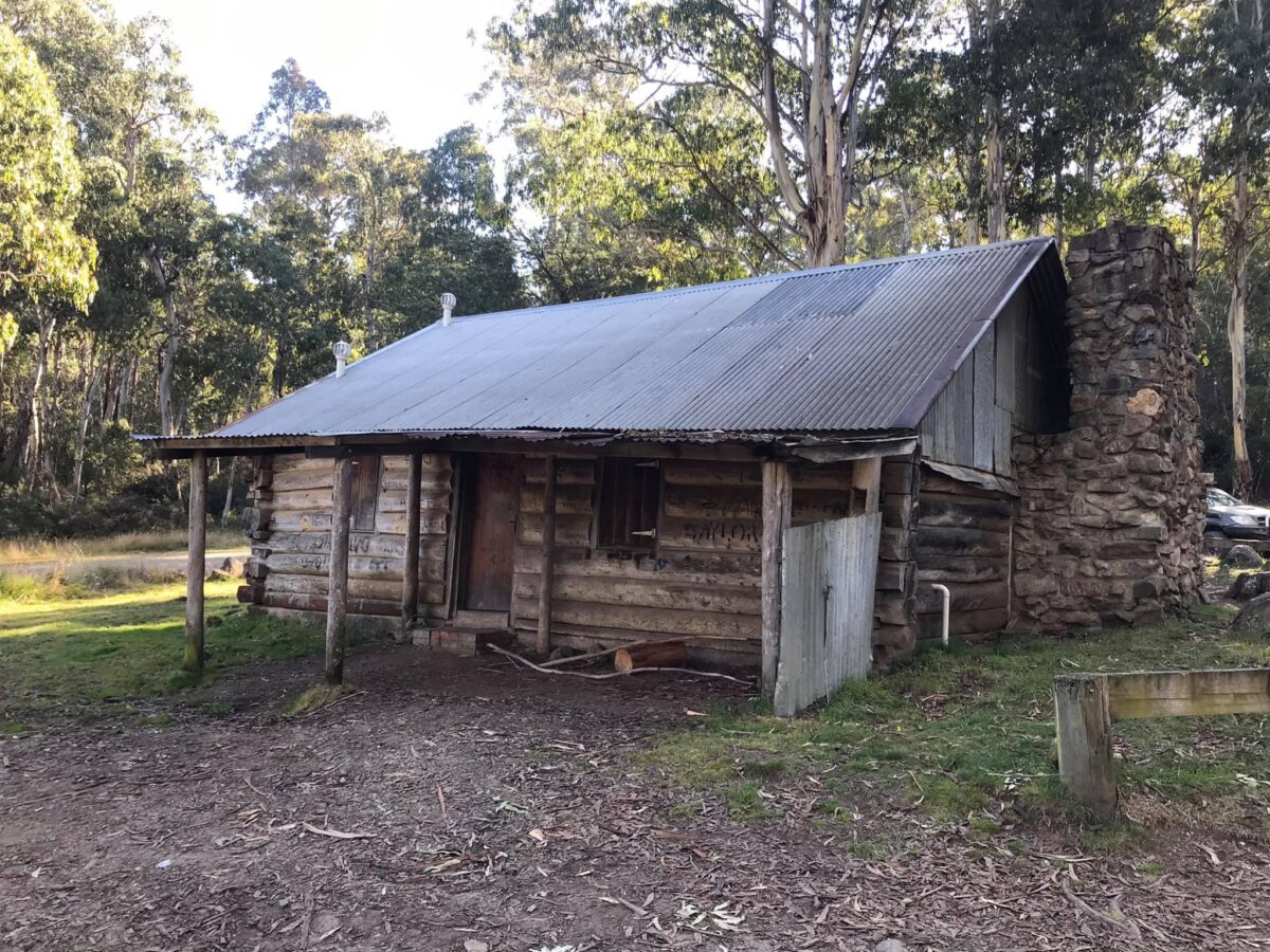
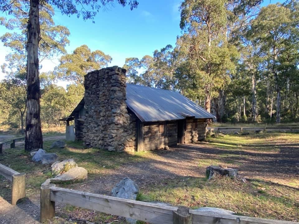
This morning I got a wake up call at 4.00am. Dale was banging on the side of my swag saying “get out of bed, Alan is having a heart attack”, so I went straight over to Alan and he wasn’t in a good way. We packed up his car and raced him to the hospital in Omeo with Dale following me in his Toyota. We headed out Four Mile track then onto Kelly’s Track through the Omeo Valley. We made it to the hospital in 1 hour and 15 minutes. At the hospital I rang 000 as the hospital was closed and then the Ambulance turned up and they took us around the back of the hospital and straight inside. They did their tests on Alan and then they took him to Bairnsdale hospital by ambulance. (Alan was actually fine and ok). Dale and myself headed back to camp, dropping Alan’s car off at the nurses house where Alan could pick it up later on. We got back to camp around 9.00am and everyone was wondering what happened, so we had a chat about what had happened, then a quick coffee, packed up our gear and we took off at 9.30am to head into Omeo. We aired up near Kelly’s Track, then drove into Omeo where 11 vehicles headed for home. They headed up over Dinner Plain and Mt Hotham. We picked up Alan’s car and Dave drove it home for Alan. Andrew met us at Omeo so we finished up with 6 vehicles for the rest of the trip. We fuelled up and got more supplies from the local store then went and had a pub meal at the hotel. After lunch we headed along the Great Alpine Road turning left at Bindi Road then right onto Nunniong Road. About 20km up we came across Washington Winch which is the only steam-powered engine of its kind in Australia. Built in the USA it was able to haul big logs up steep slopes. We headed of again then veered off to the right down BP Track, stopping at Moscow Villa Hut. The hut was built by Bill AhChow who worked as a fire spotter and the hut was named after the Battle of Moscow back in 1943. The Forest Commission wanted to pull the hut down as they weren’t happy about the name, so Bill told them the name stood for My Own Summer Cottage Officially Welcomes Visitors Inside Light Luncheon Available. The hut stayed with its quirky name.
We went on a bit further down the road to Bentley Plain Hut and camped at the horse yards across the road. There was plenty of wood already cut for the fire so we didn’t have to worry about that so we just set up camp, lit the fire and had a great night around the fire even though some were in bed about 8.30pm because they were so tired from the morning.
Tuesday 6th April
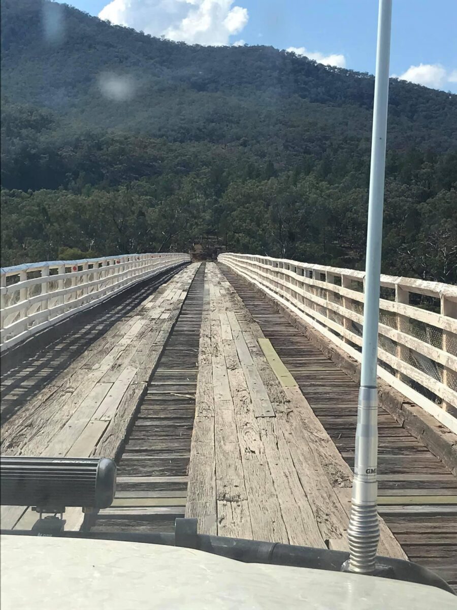
During the night about 2.00am I woke to a deer walking around camp. The deer went towards Andrew’s car because Andrew was snoring and the deer was honking at Andrew. It was like a mating call. Poor Andrew could have been lucky with the deer but then the deer walked off through the bush. In the morning when we all woke I couldn’t wait to tell him the story around the fire and we had a laugh. We packed up camp and headed out of camp at 9.00am and we took Flinns Track around to Nunniong Track, through Nunniong Scenic Reserve and then onto Nunnett Road. We followed this for a while in 2wd, then turned left onto Glenmore Road, stopping at Mt Stewart campsite for a quick break. We kept on going along Glenmore Road, then turned left onto Gelantipy Road up to Seldom Seen then turned right onto McKillops Bridge Road. This road is very windy and narrow with not much room if someone was coming the other way. It had great views on the way down though. We got to McKillops Bridge and went across and pulled up at the information centre where we found out that the best camping areas have been closed down for day use only and only one was open for camping. We headed up there but it’s not a very nice campsite and is about 100m from the Snowy River so we just had lunch there and decided to keep on going up Deddick Trail. After lunch we headed back to the bridge and set up the drone and filmed us coming across. Just up the road is The Deddick Trail and we turned right there and headed up. The track is steep but in good condition with plenty of traction. There is a camp halfway along so we headed for there. We went down a steep descent and arrived at a camp on the Mountain creek. Firewood was collected, the fire was lit, and we gathered around the fire. We had a thunderstorm with a little bit of rain but we enjoyed the night.
Wednesday 7th April
In the morning things were a little damp from the rain the night before. We had breakfast and packed up camp, and when we had the briefing we talked about how the track ahead possibly could be very hard with rock steps in one section. We headed off at 8.30am making our way through the river and then we followed the river for a while along the valley. Then the track started to climb and as we got up a bit there was a sign saying “This Track could be Difficult Do not Attempt”, but the track had been completely graded with no rock steps and was a very easy steep climb. Once you reach the top and the Heli Pad the track becomes a very nice drive out to Yalmy Road, where we had a quick break and as we had phone service some rang home to say hi.
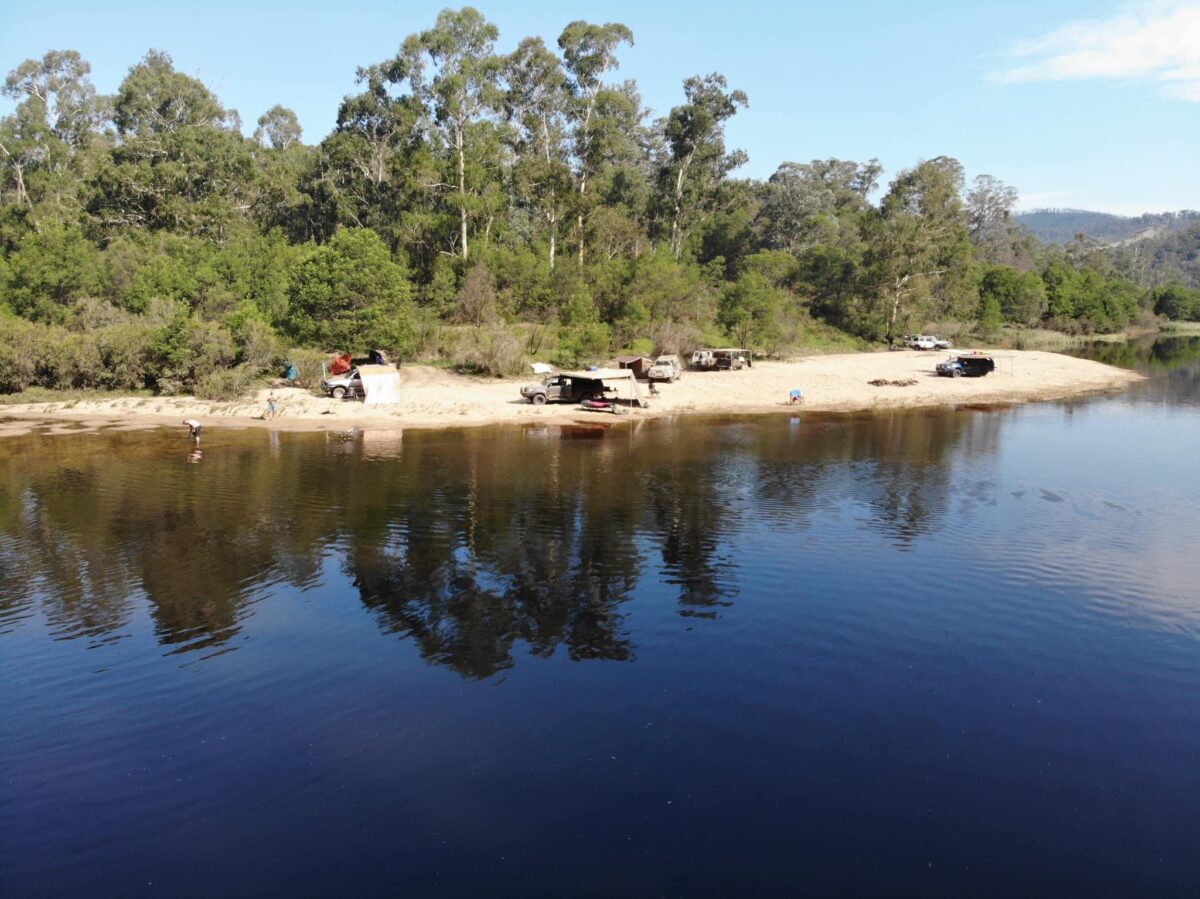
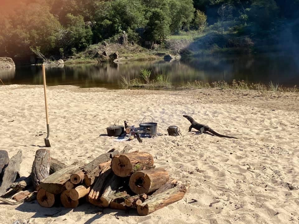
We continued along Yalmy road for a bit in 2wd until we got to Varney’s Track where we went back into Low Range and headed towards Jacksons Crossing. The drive down had some really nice views of Jacksons Crossing area. We came to a beautiful river crossing and we went through it. On a bit further we came out at Jacksons Crossing and we pulled up at the campsite. Dale, Sim and myself went for a walk through the river to see how deep it was and where the track actually had an exit point. You drive through the first bit of the river, then onto an island, then back through the river again to the other side. It’s roughly about 100m long. We had lunch and a break for a bit and I got the map out and noticed a track up further to our right as we came in with a couple of camps down there. We finished lunch and headed down this overgrown track following the River, and as we came to the end the track it dropped out onto the most amazing campsite with a sandbar about 100m long, right on the Snowy river. We actually couldn’t believe what we were looking at and I said, “well this will be camp for the next 2 days”. We all picked a spot and Dale and I went and collected wood for the next two days. We set up camp and did basically nothing for the afternoon except swim and fish. Later on we lit the fire and sat around it for the night.
Thursday 8th April
Most of us slept in as we knew that we didn’t have to get up and get going. I was up early watching the sunrise come up the river it looked amazing. Then everyone got up as they pleased and we all did our own thing for the day, swimming, fishing, and taking naps. It was so relaxing in this beautiful spot.
Around 5.00pm we noticed the river had started to rise. We put sticks in the sand and measured how high and fast it was coming up. The river rose about a foot in a couple of hours, but we didn’t panic as it slowed and started to go back down. We thought that we would probably not be able to cross Jackson Crossing in the morning, so we sat around the fire and enjoyed our last night in paradise.
Friday 9th April
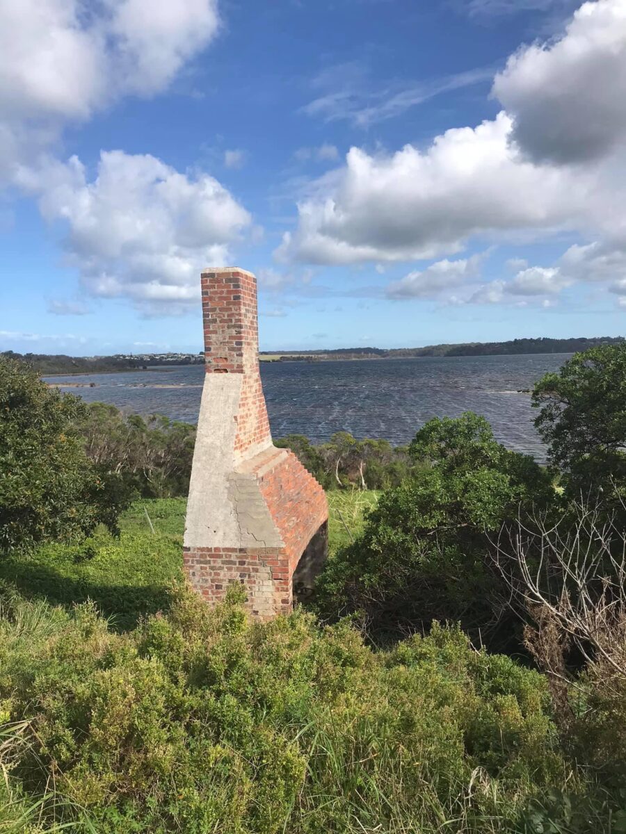
As we all woke up early that morning it started to rain, so it was a quick pack up and breakfast and we left camp by 8.15am. We drove out of camp and headed back along the overgrown track to Jacksons Crossing and the water was flowing way to hard and was deep so we gave the crossing a miss. We headed back up Varney’s Track through the river crossing up to Yalmy Road where we shifted back into 2wd for the drive to Orbost. When we got to Jarrahmond Road we aired up and then made our way into Orbost, turning right onto the Princess Hwy. We drove along the hwy until we got to Lake Tyers Rd where we turned left to Lake Tyers. We followed that road down to The Glasshouse campground where we pulled up and went for a walk down to the waterfront. We officially ended the Bush to Beach trip at Lake Tyers.
Everyone was heading for home so Sim went via Melbourne and the rest of us took the scenic route back to Omeo via the Great Alpine Road. From Omeo Andrew, Dale, Karl and David went home via Dinner Plain and Mt Hotham and I took the Benambra-Corryong Road to Corryong to spend time with the family.
Participants
Russell. 105 LandCruiser
Andrew. Triton
Dale H. 105 LandCruiser
Karl. 105 LandCruiser
Dale P. 40 LandCruiser
Naomi and Sue. Prado
Jim and Narelle. Nissan Patrol
Dean and Kim. Ranger
Allan. Triton
Luke. Hilux
Gareth and Dave. Prado
Chris and Britt. Prado
Sim. Hilux
David and Angela. Nissan Patrol
Charlie and Trevor. Mitsubishi
Tim. BT 50
Moscow Villa 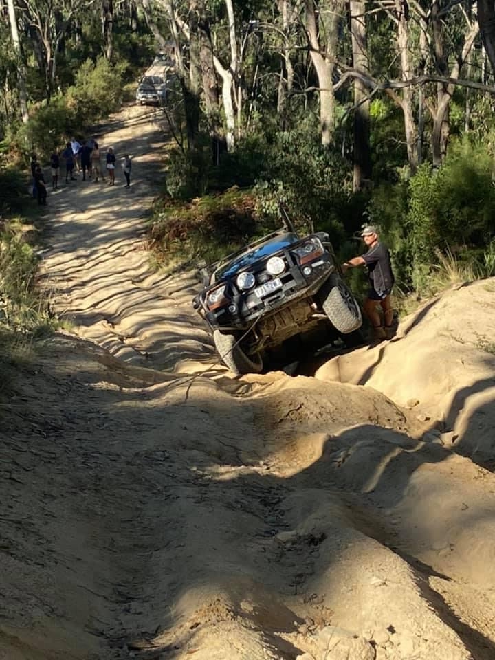
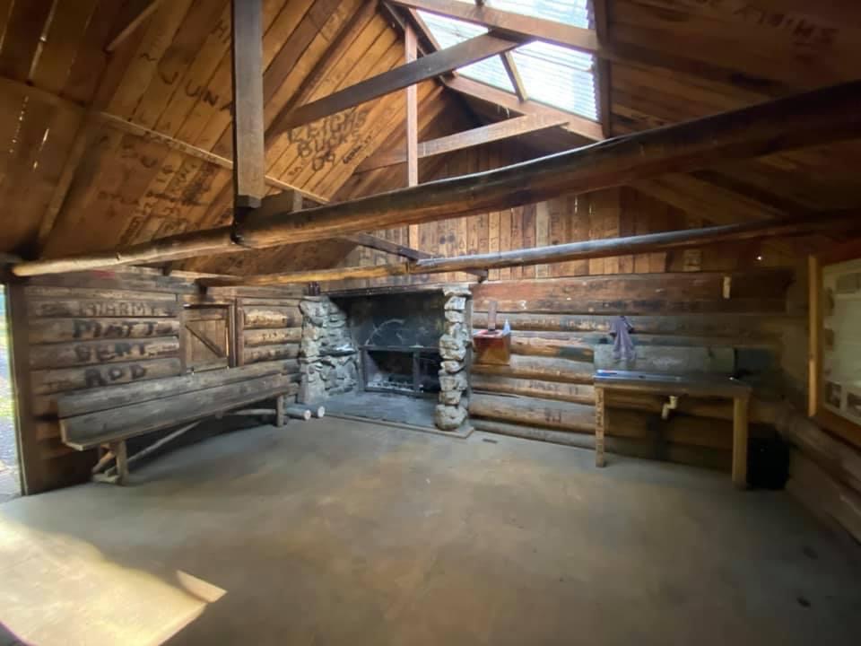
Moscow Villa 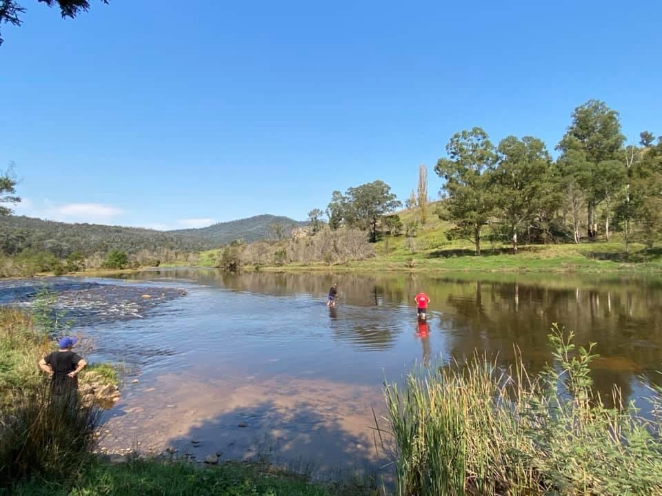
Jackson crossing 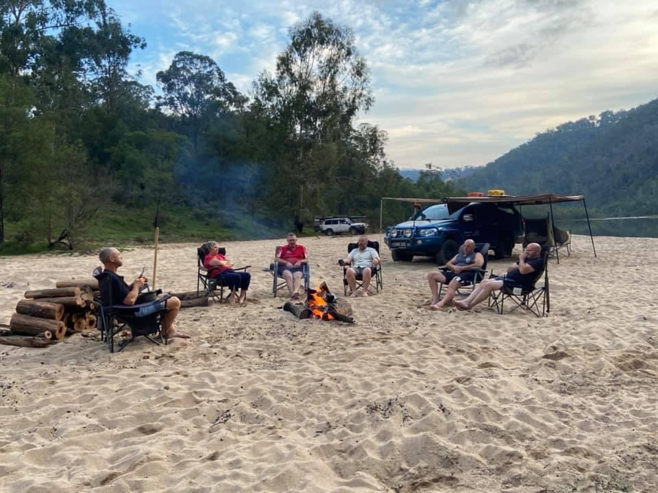
Jackson crossing 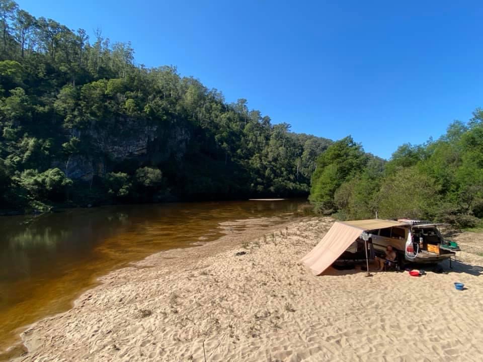
Jackson crossing 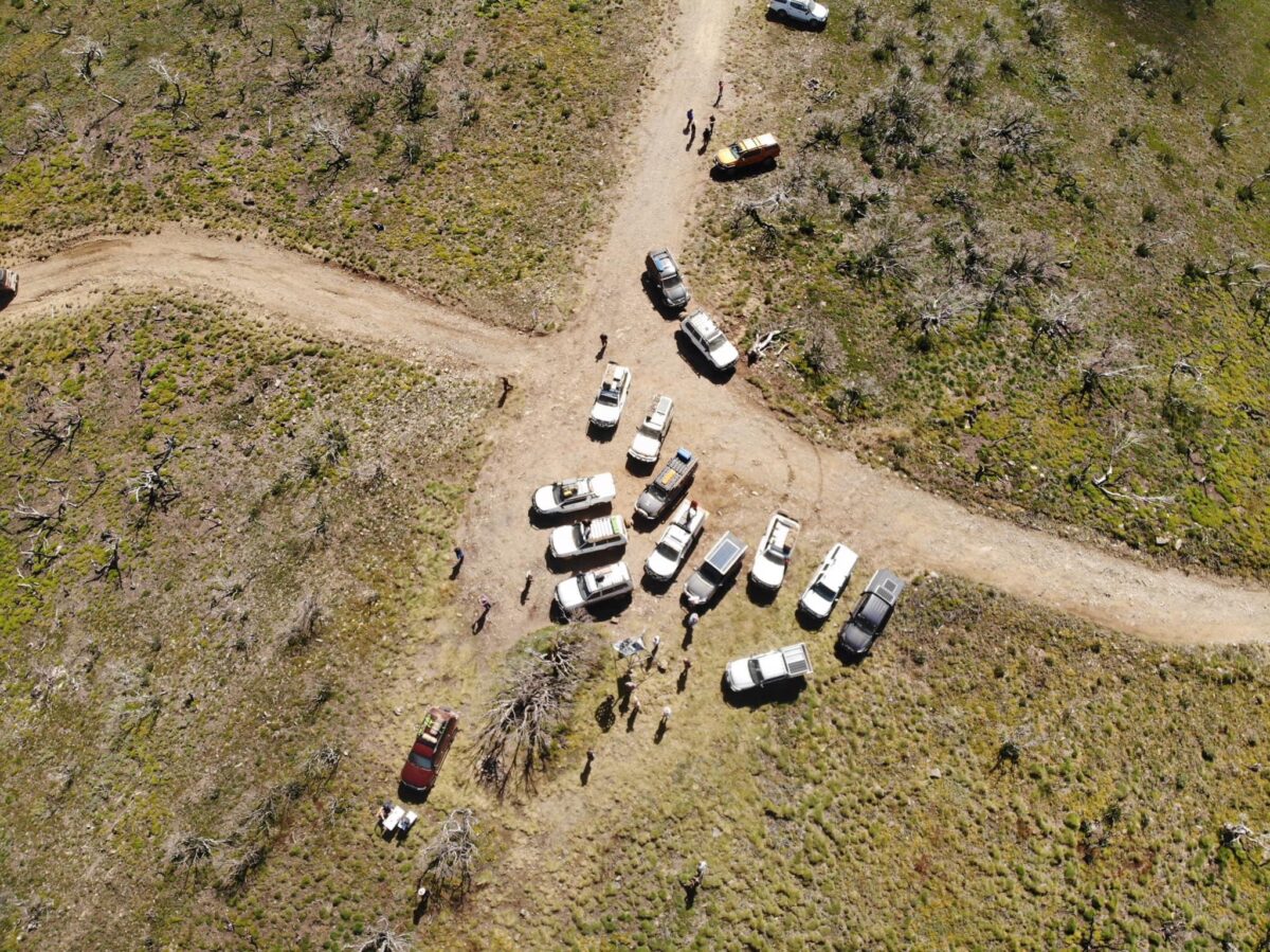
Mt Pinnibar 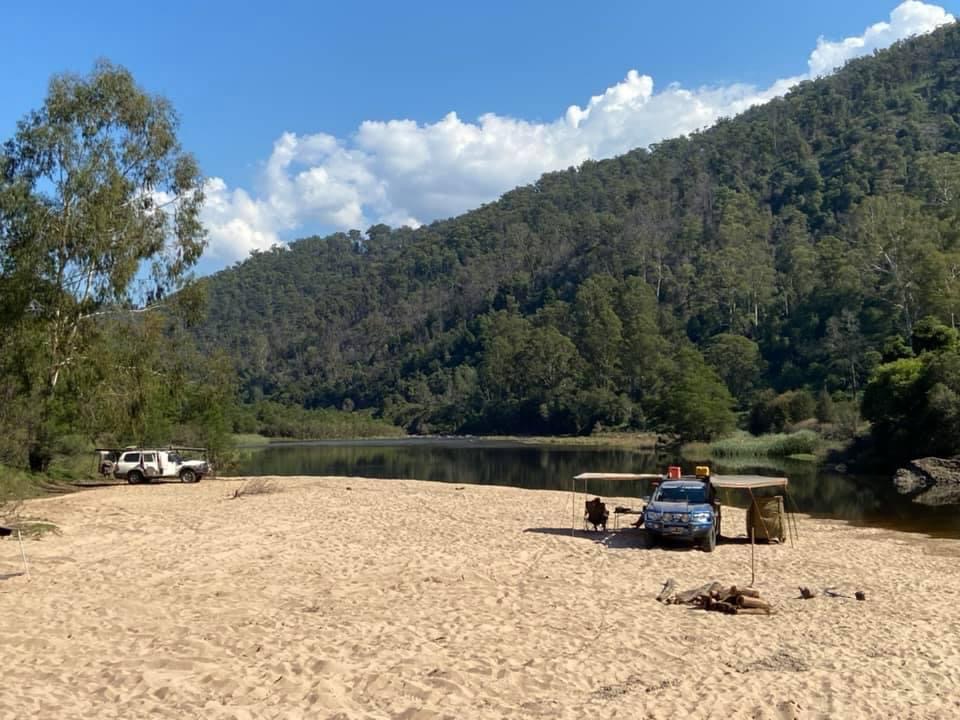
Jackson crossing 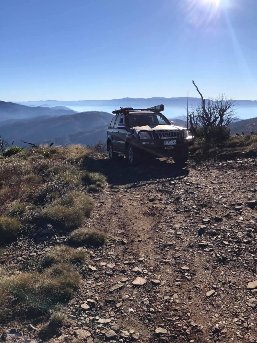
Mt Gibbo 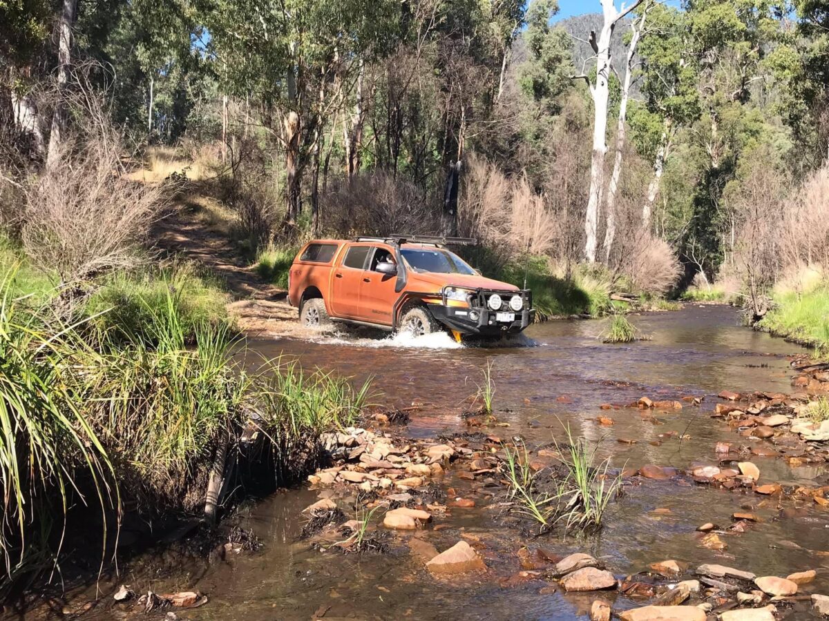
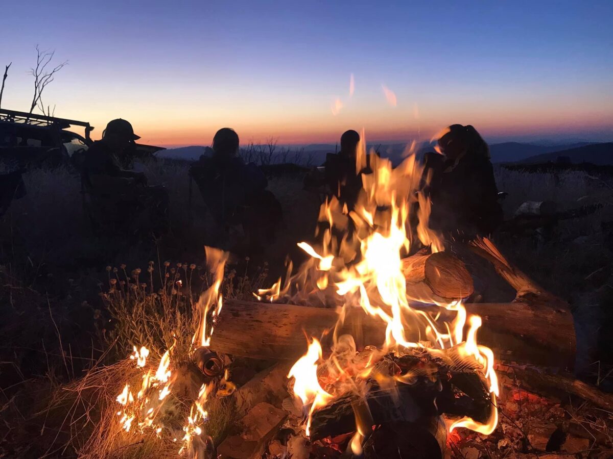
Mt Anderson 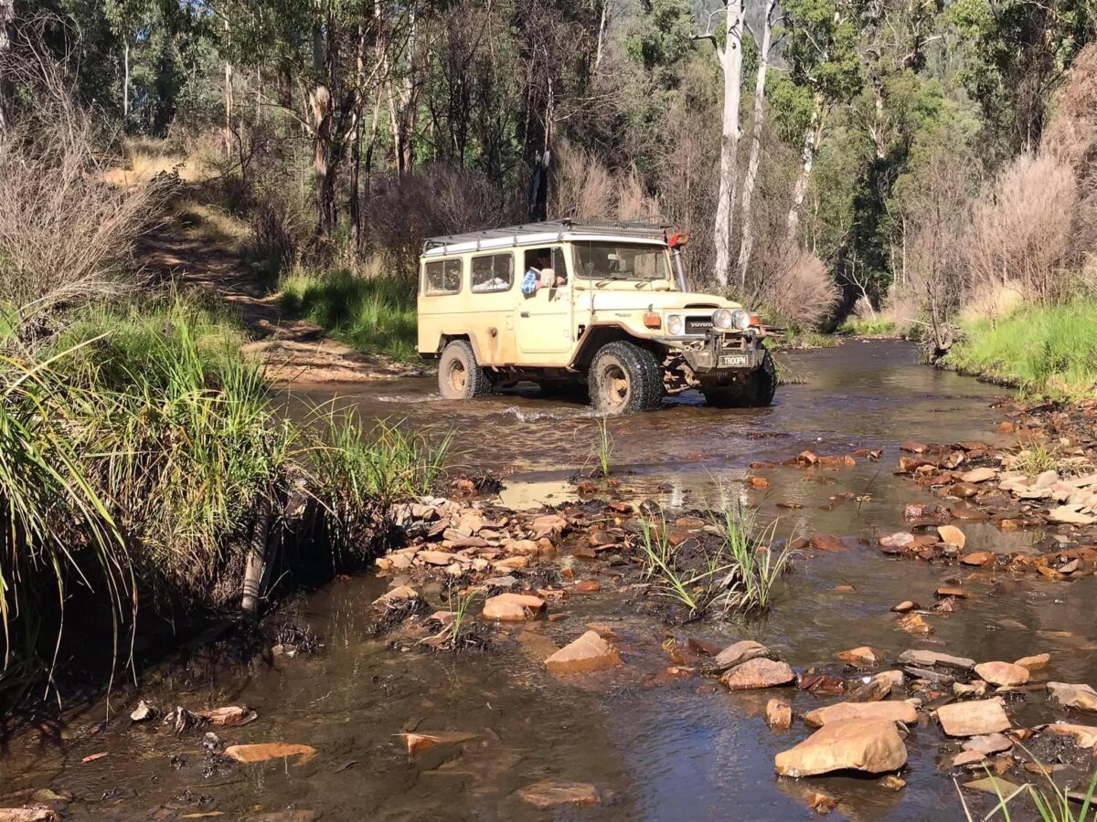
Mt Anderson 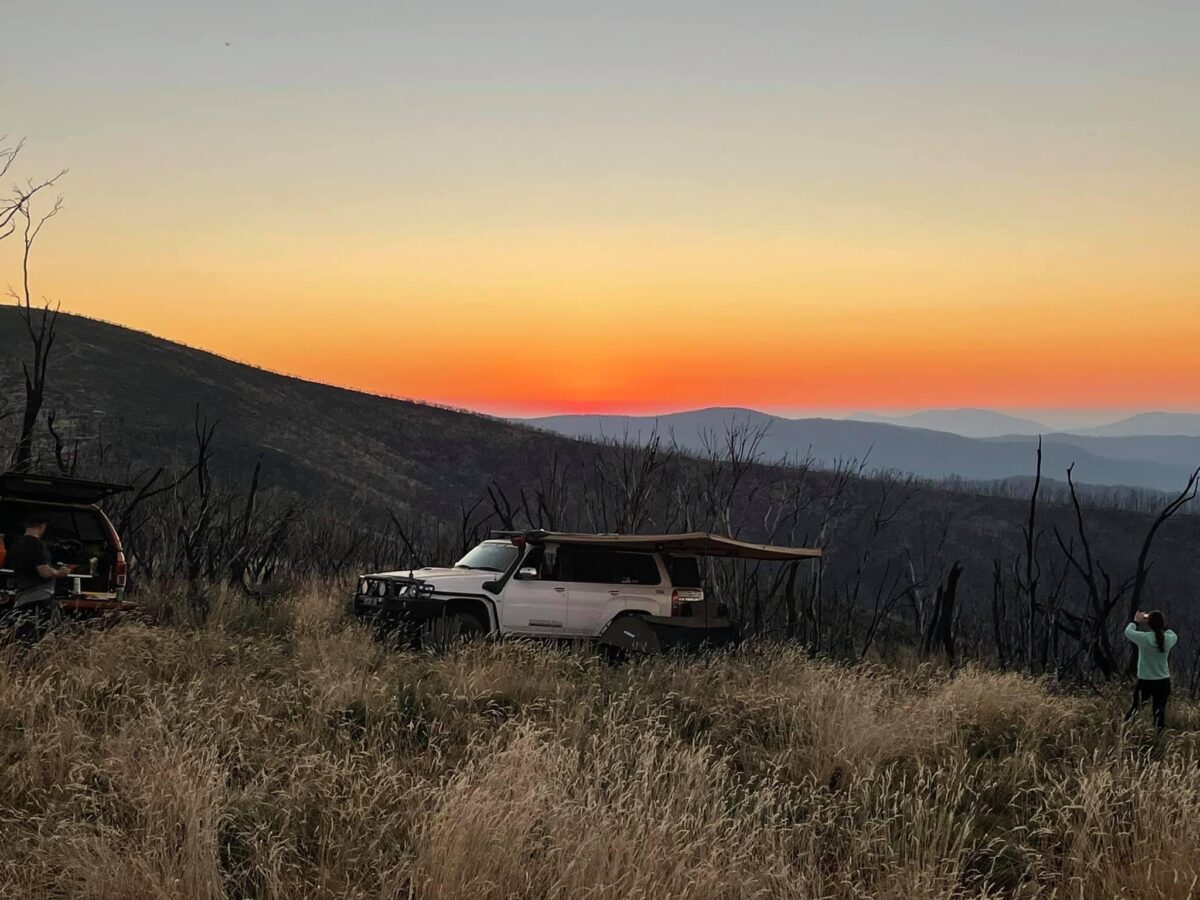
Mt Anderson 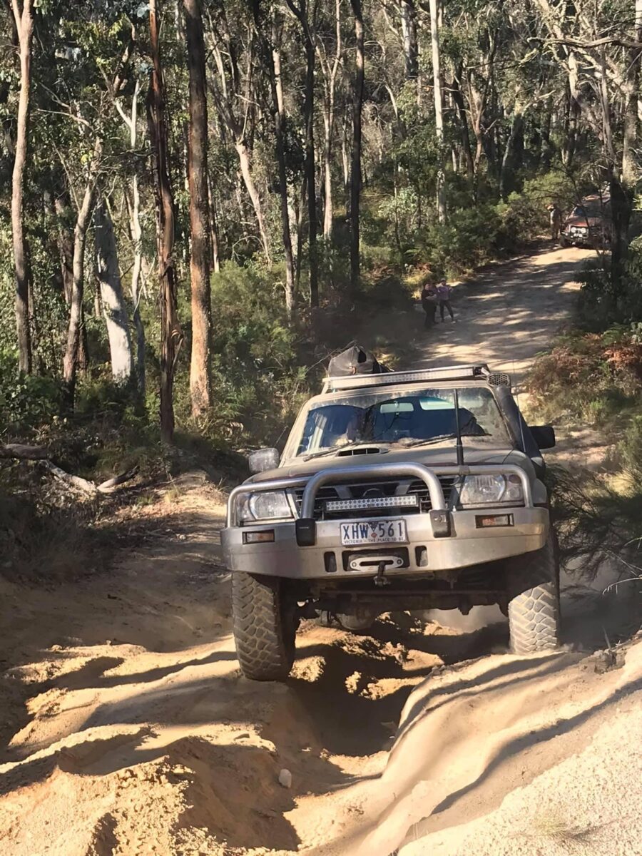
Wombat post office 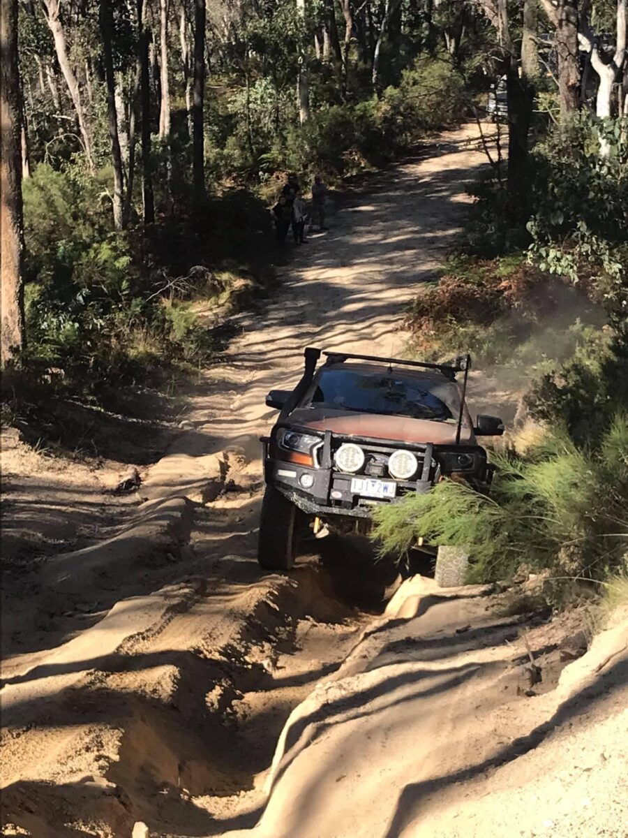
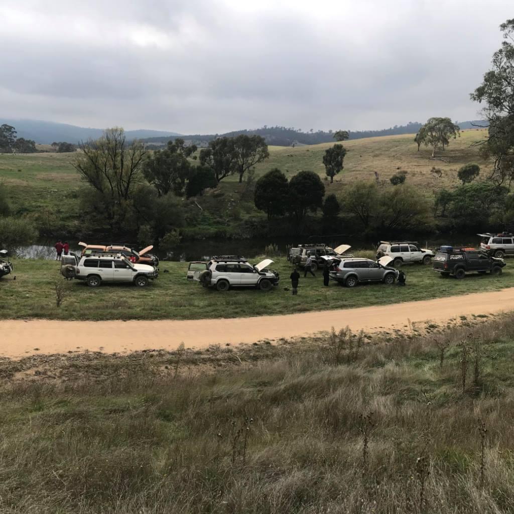
Air up time 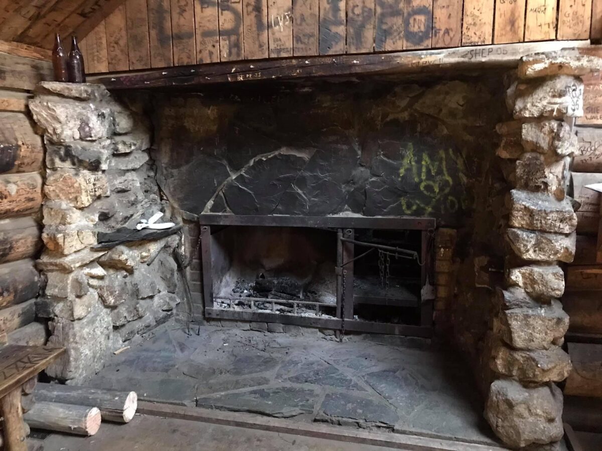
Moscow Villa 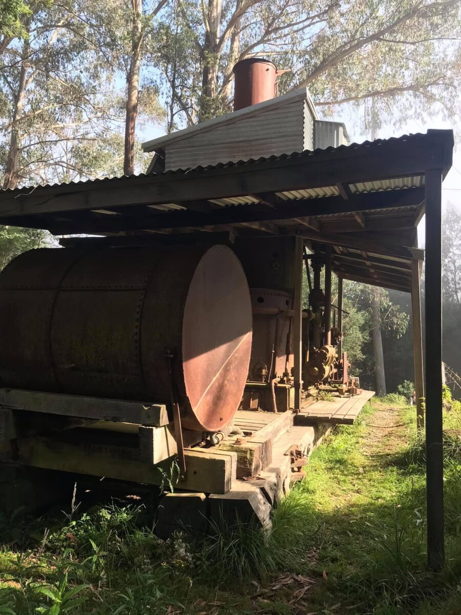
Washington Winch 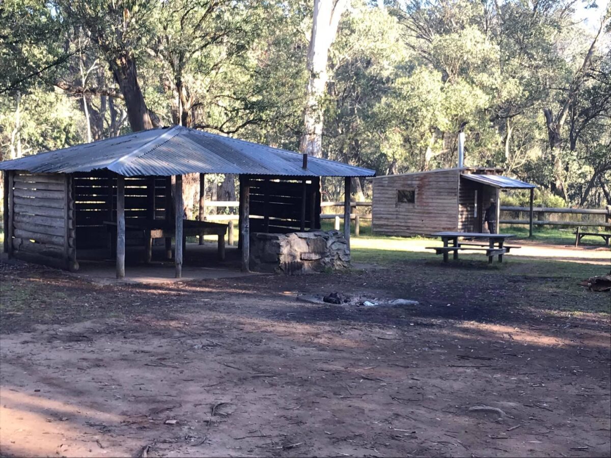
Bentleys hut 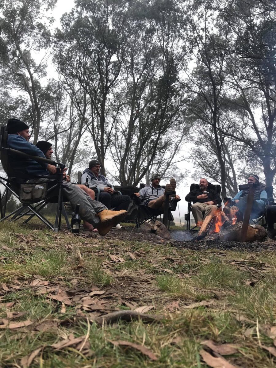
Bentleys hut 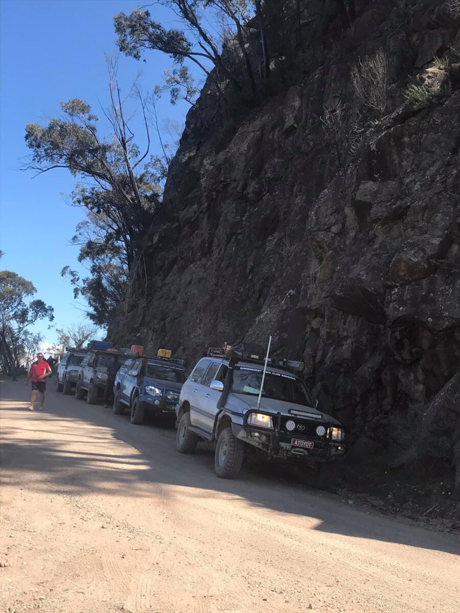
Near McKillops bridge 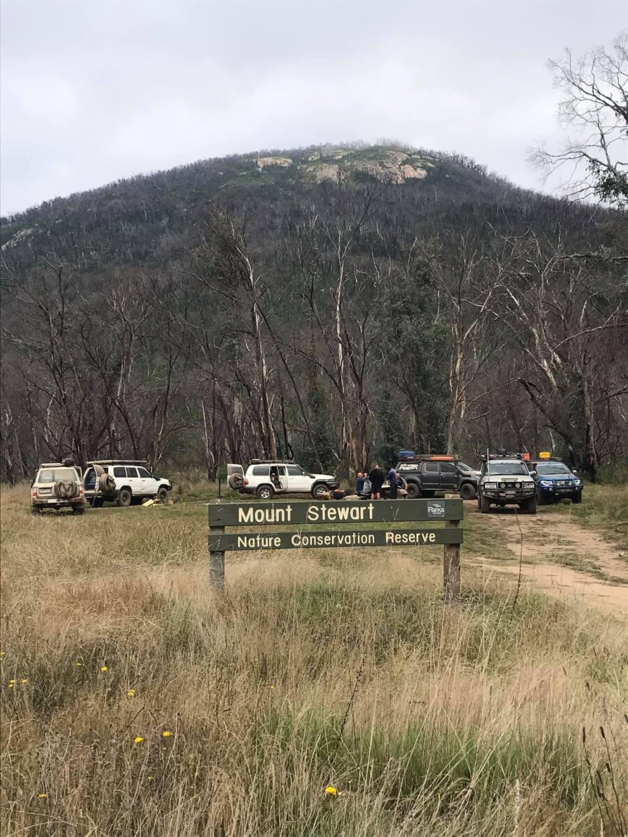
Mount Stewart 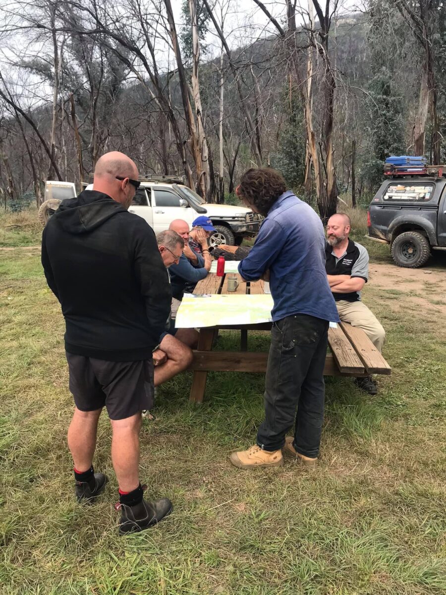
Mount Stewart 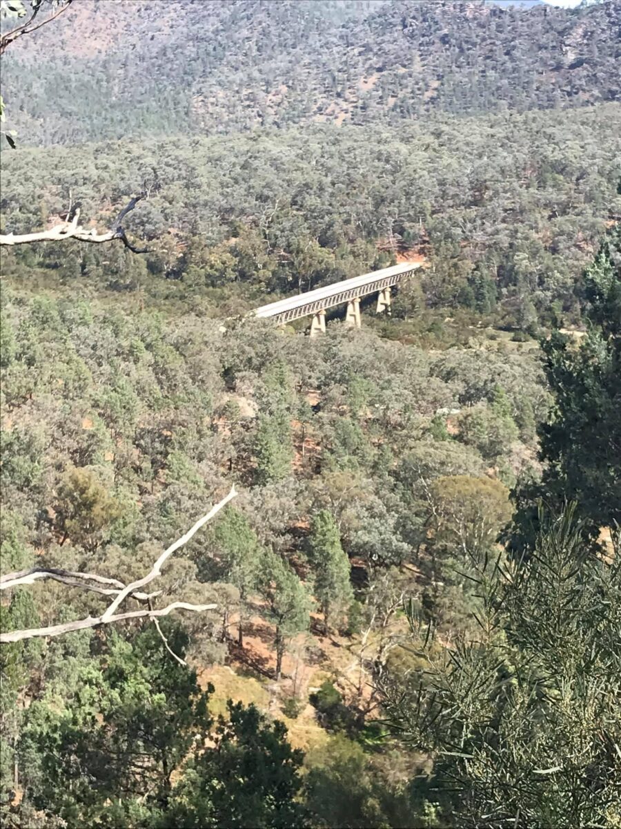
McKillops bridge 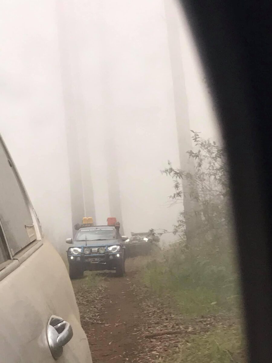
Deddick trail 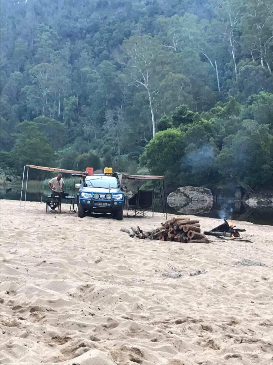
Jackson crossing 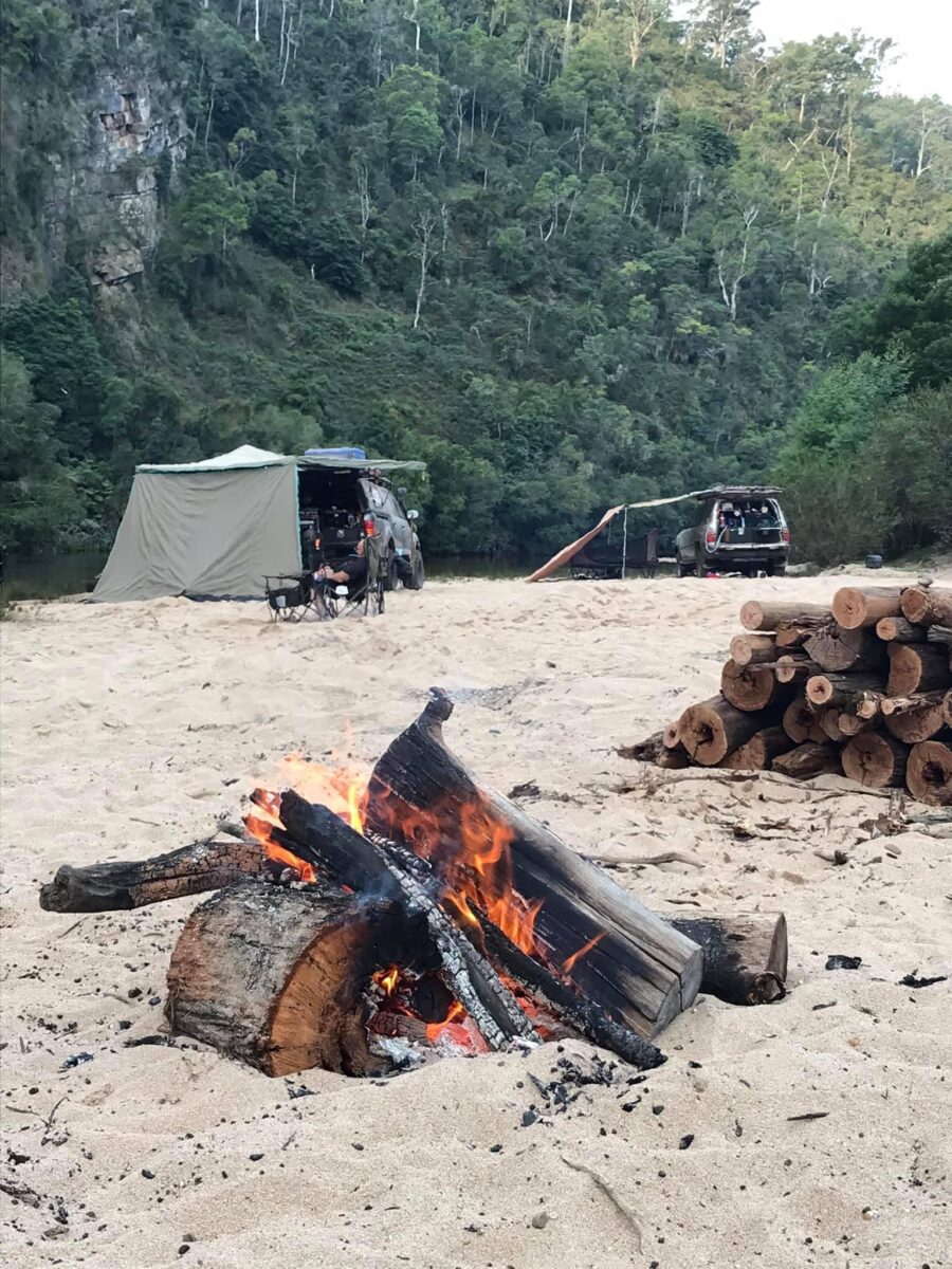
Jackson crossing 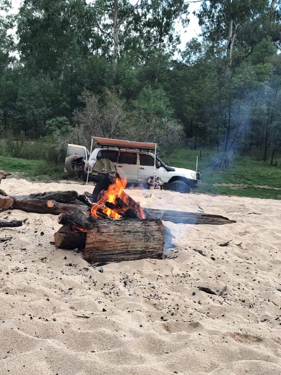
Jackson crossing 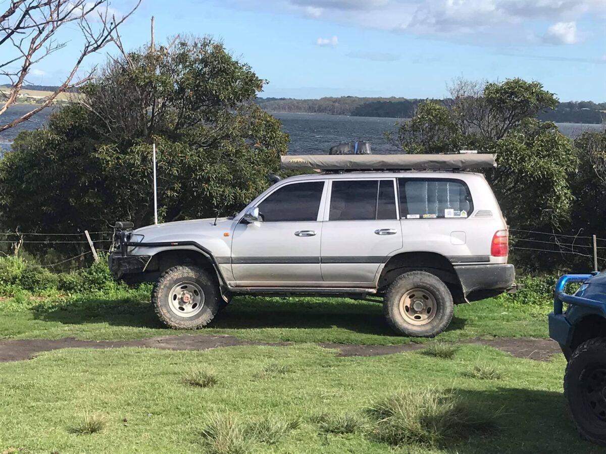
Lake Tyers


