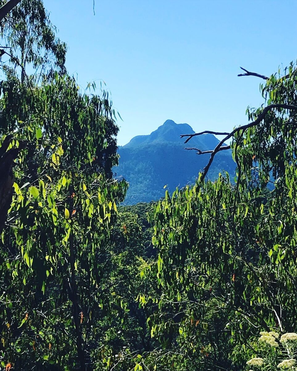
This was one trip that I have been wanting to do for awhile now, to climb up and over Mt Stirling. Mt Stirling sits up there at 1750m, with 360 degree views of the whole High Country.
Now when we were up there, was it the beautiful views, or the most loneliest tree and (the most photographed tree in the High Country), or was it watching a mob of horses and riders making their way up to the top, to enjoy the same views.
You need to plan your trip up there to Mt Stirling, as the Mountain is closed from May 1st– November 31st, apart from ski season and you can ski across the top.
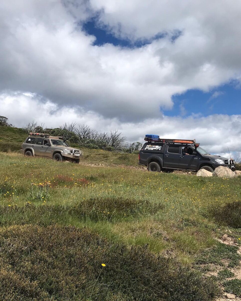
We had 12 vehicles for this trip, heading up to the Buttercup Creek Camping area on the Friday night. The campsite was fairly full, so we had to have separate camps.
Saturday
When we woke in the morning there was a fair few people camped at Buttercup Creek, and there is four campsites along the river, all full. We packed up camp and we all gathered at one campsite for a briefing on the weekend’s trip.
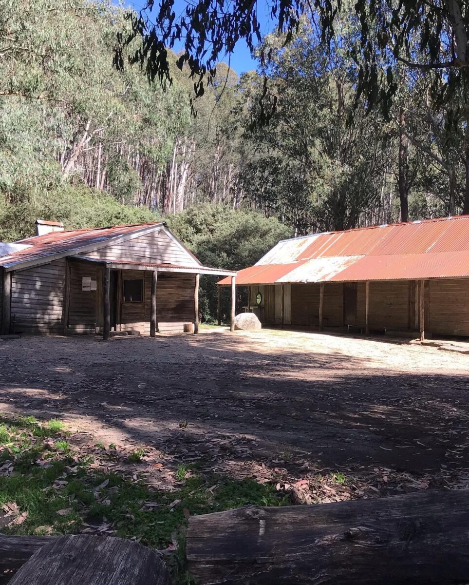
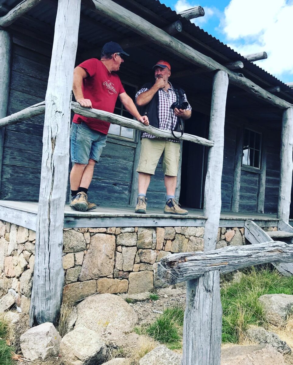
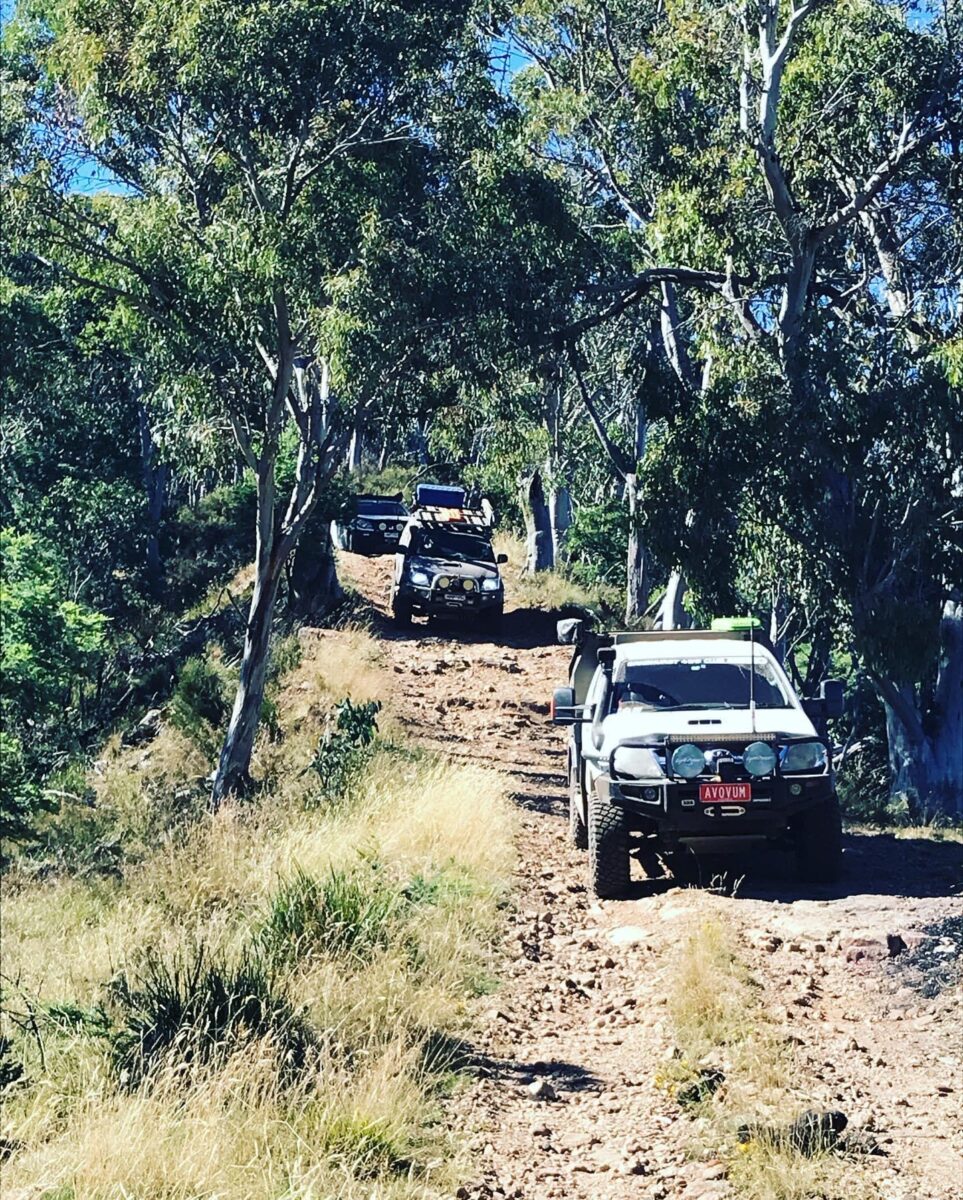
We left camp at 9.00am heading up Buttercup track then we turned left onto Carters road until we got to No3 track. No 3 track is usually rocky and rough but it was very easy, not even needing Low Range yet we made it to the top in 2wd, then stopping at No 3 Hut for a look. We stayed on No 3 track then turned right into have a look at Razorback Hut and a quick break as well.
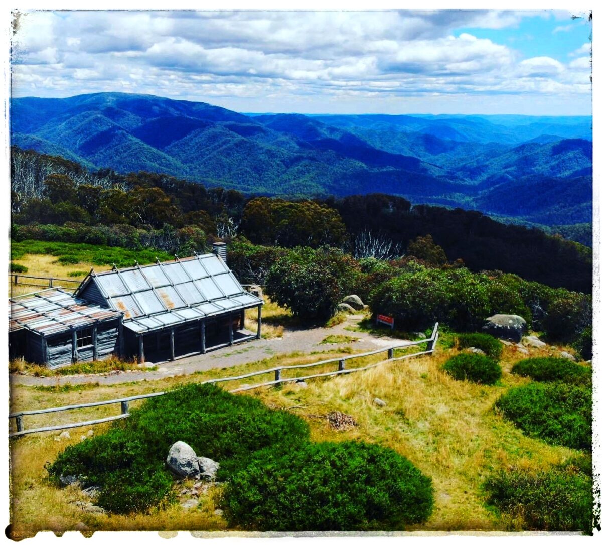
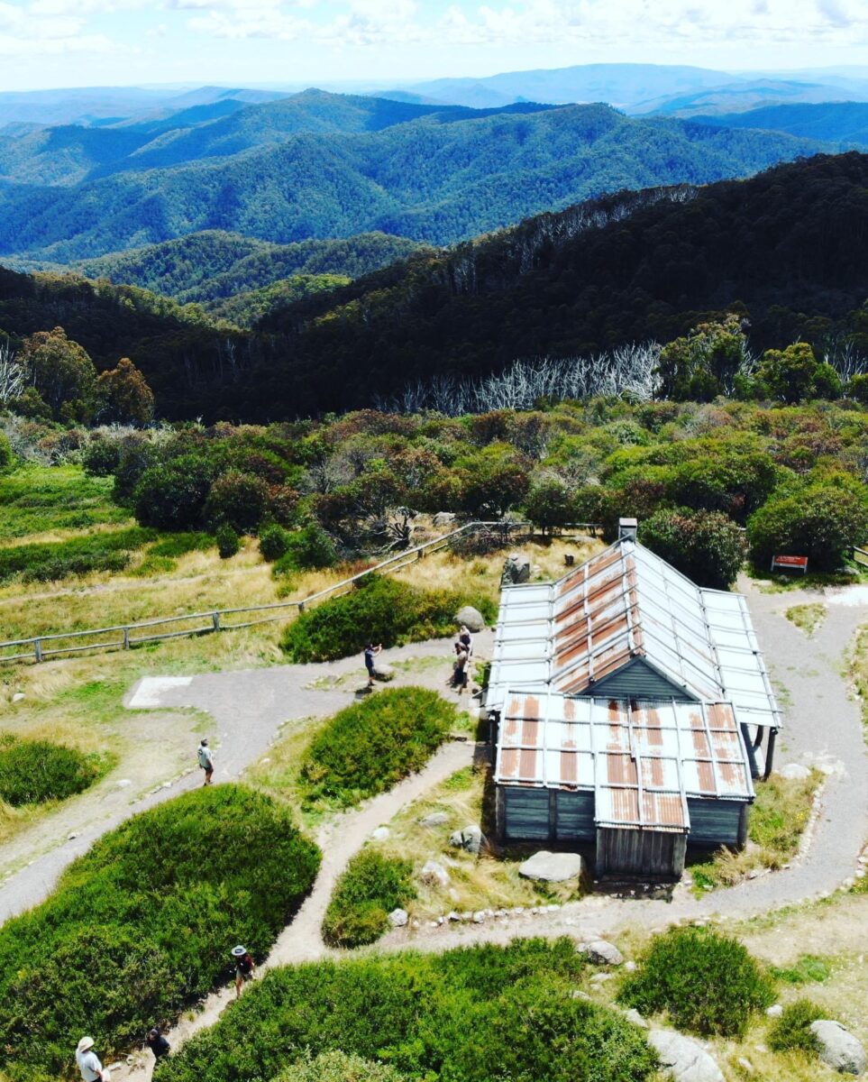
We headed off again on the Circuit road through Mt Stirling resort and then a hard left hand turn still on the Circuit road, we had to travel 7kms to Howqua Gap Hut. Then we were on the Howqua Gap track, the track has a lot of Warning signs on difficulty and how weather conditions can change up there, so be prepared for all types of weather. We reached the top and walked up to the Trigg point, taking photos of those magnificent views, and the loneliest tree, when the horses came up on the other side just made it, looked amazing. We got back into our vehicles and the track turns into Clear Hills track, and made our way to Craig’s Hut. Clear Hills track has been Graded, so it’s very easy to drive now. We got a spot to park and we had a lunch break, after lunch we walked up and around Craig’s Hut getting those awesome photos.
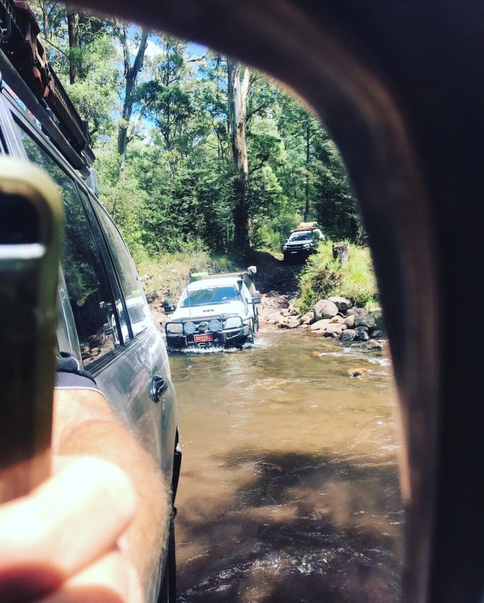
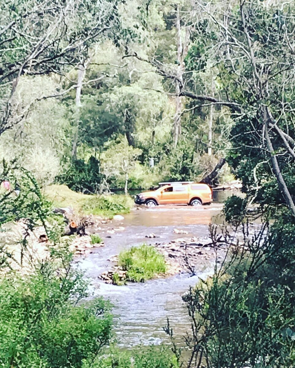
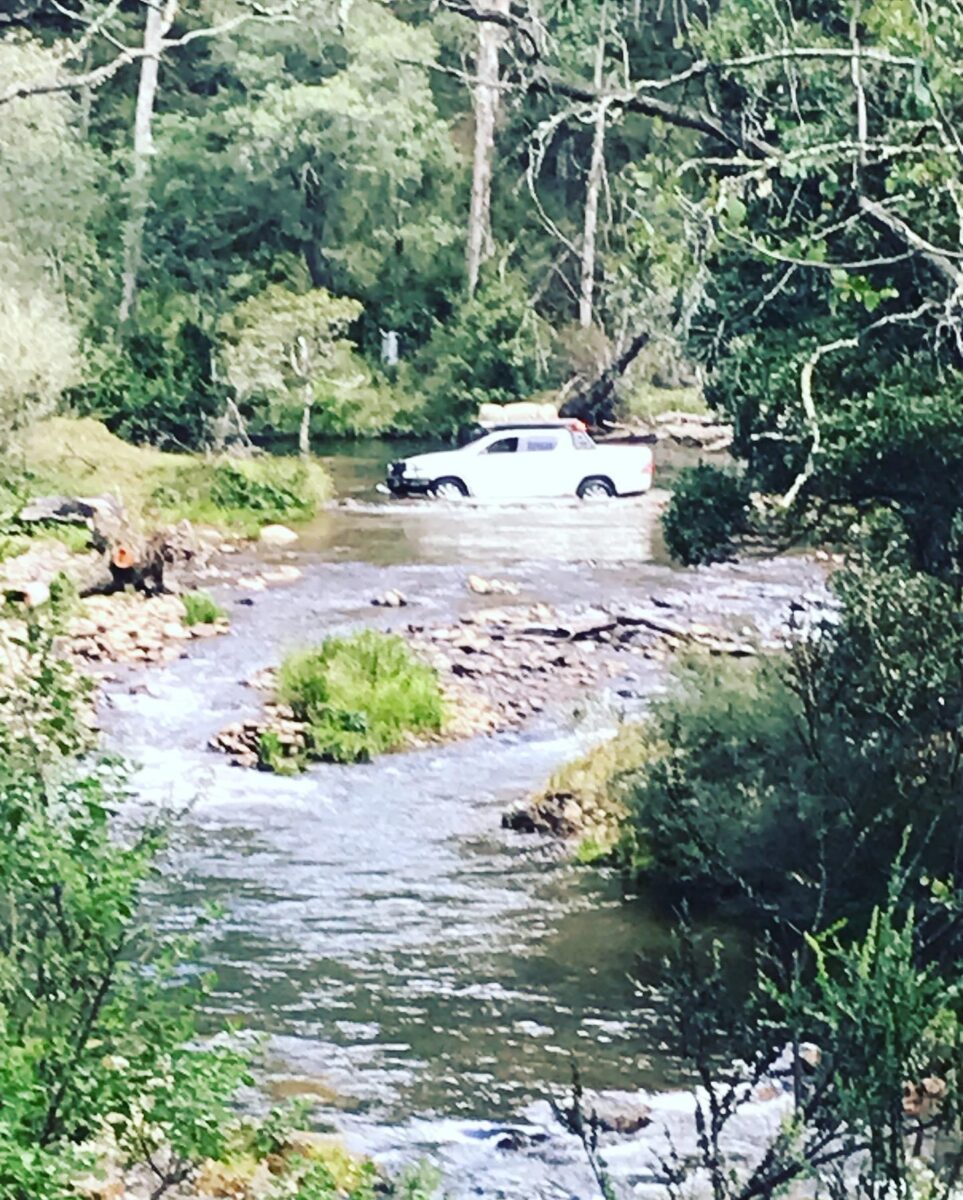
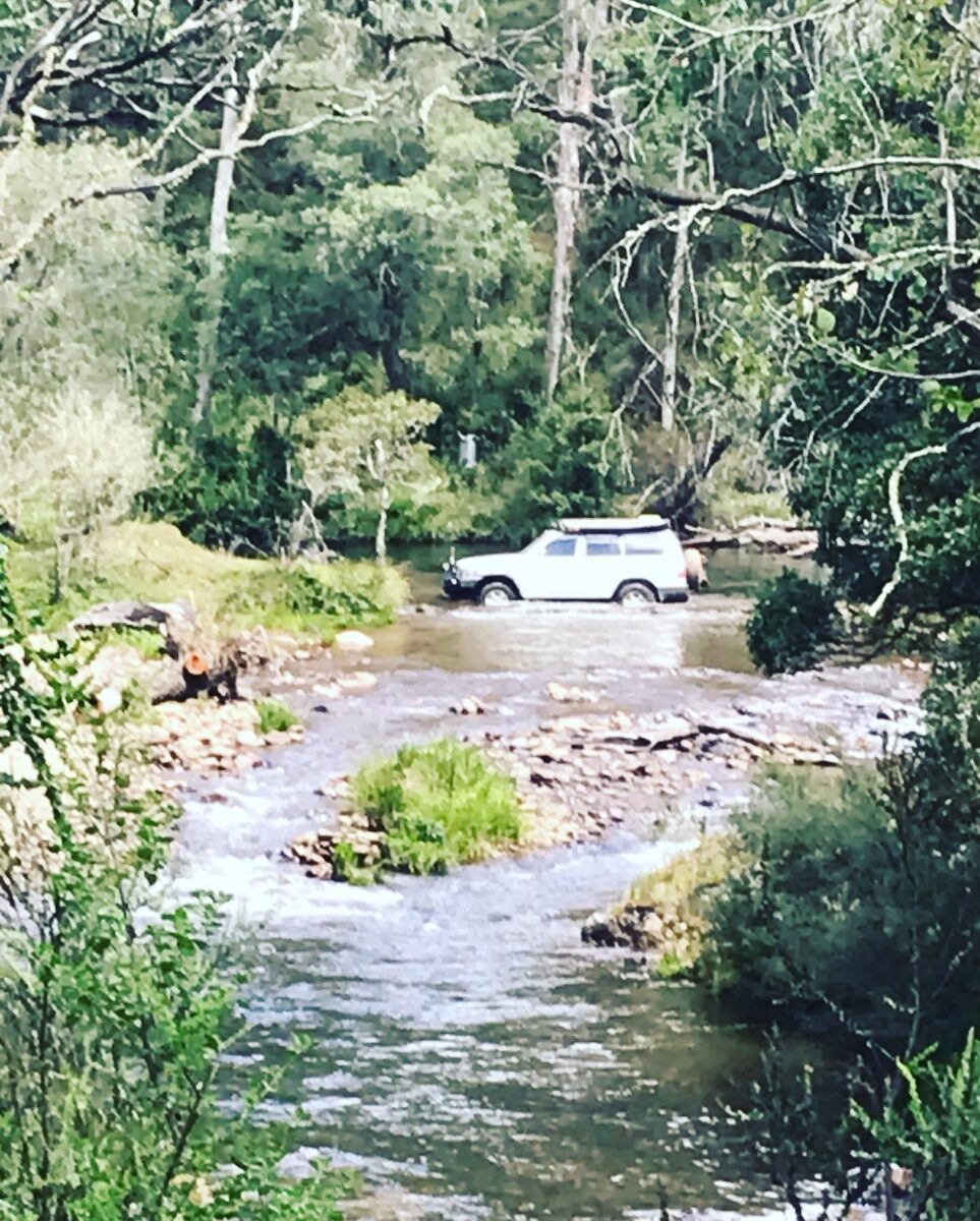
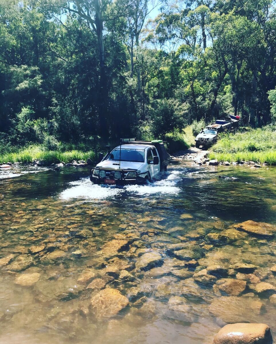
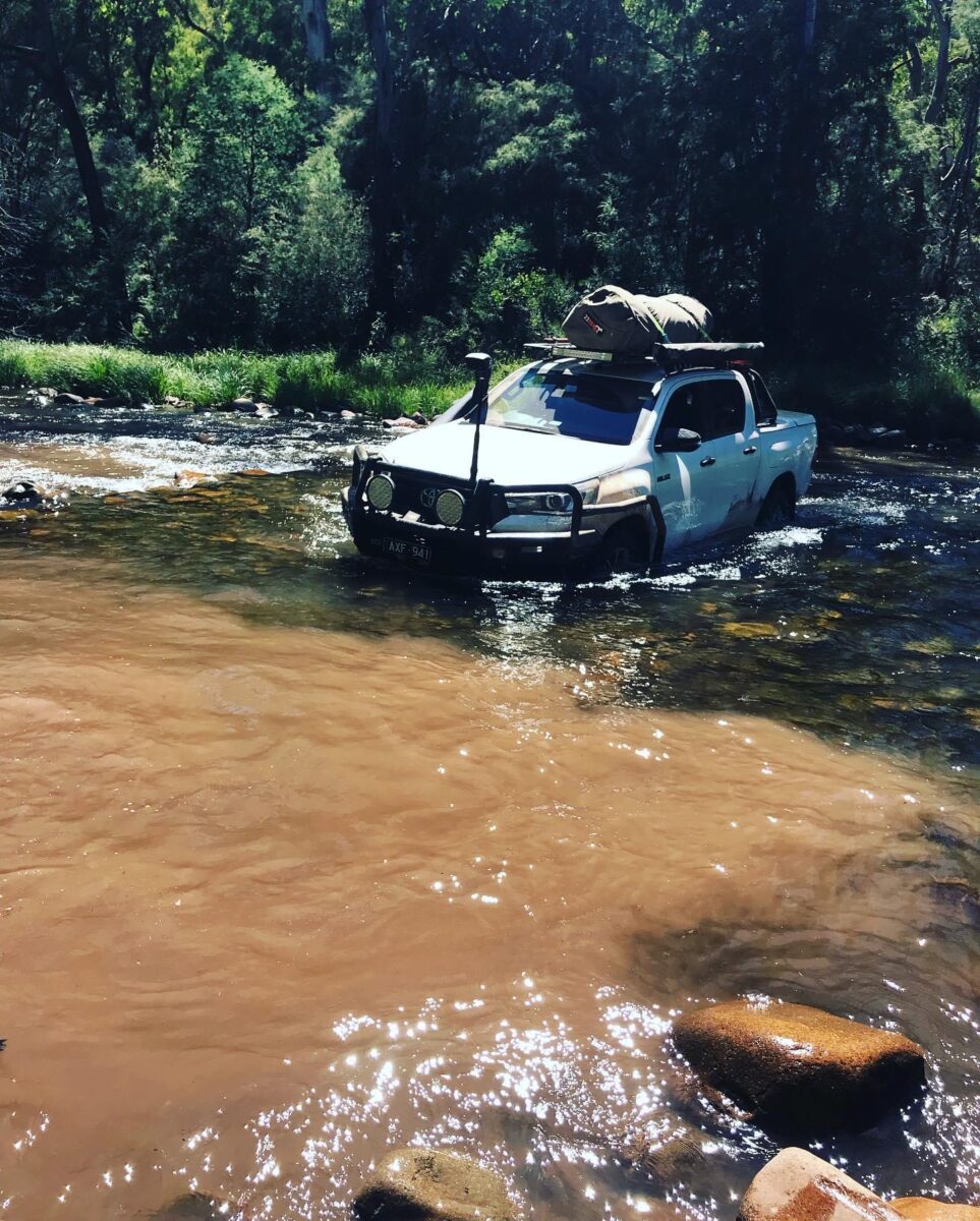
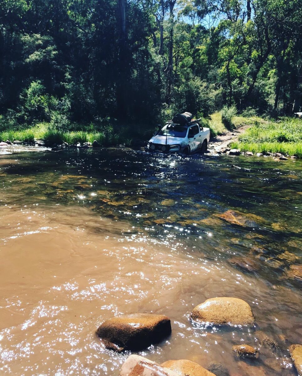
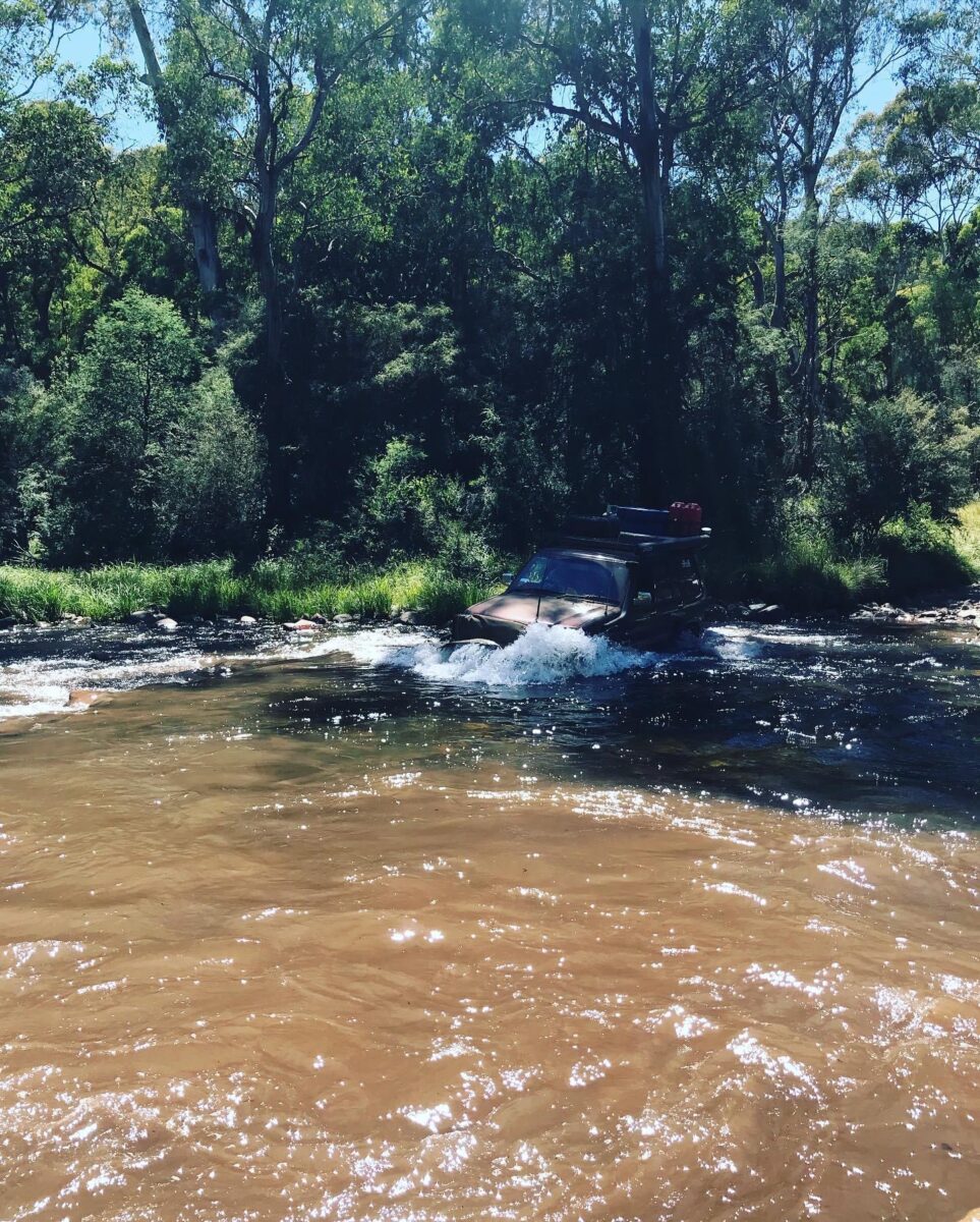
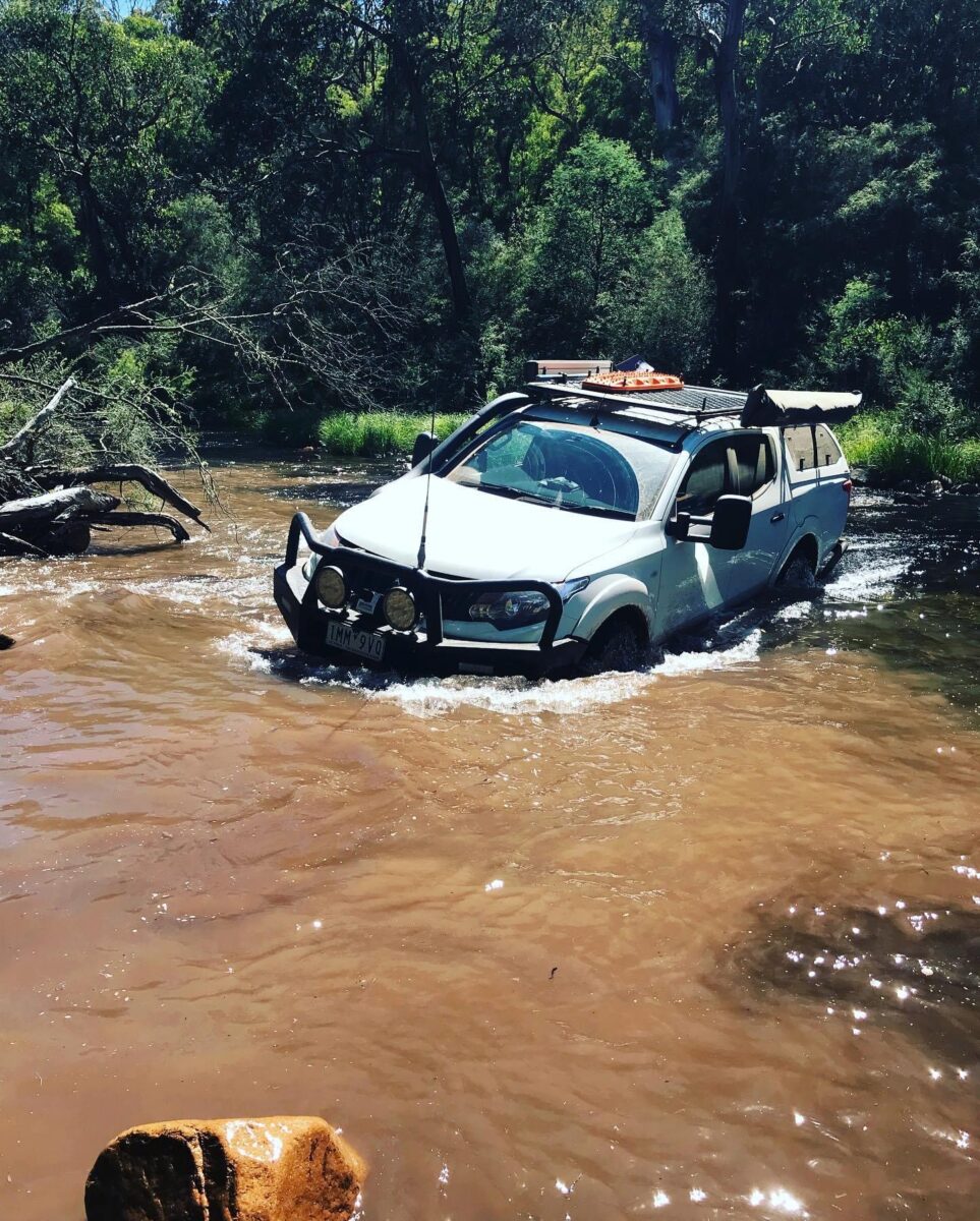
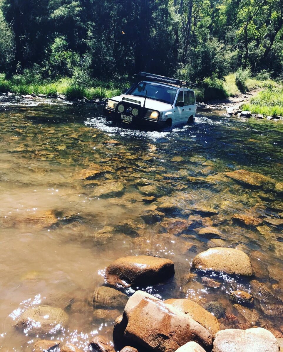
We then left Craig’s Hut, going back along Clear Hills track then turned left down Monument track, having a few people coming up the other way we made our way around them and made it to the bottom. At the bottom of the track it gets back to the Circuit road and we went left. Back into 2wd for a bit we got to Speculation road and turned left onto King Basin track and down to King Hut, we stopped here for a look, then kept on going. Along the King Basin track is 7 river crossings, which were not very deep at all.
One comment over the radio as we were driving along one of the river crossings.
“If this was full of water it would be a river bed”
“Well incidentally if it was full of water it would be a river, not a river bed”.
That just made all of us laugh for a bit.
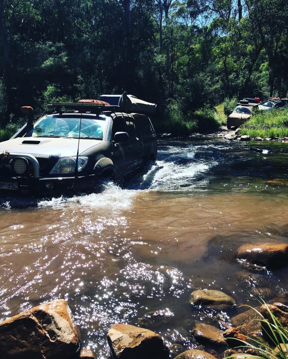
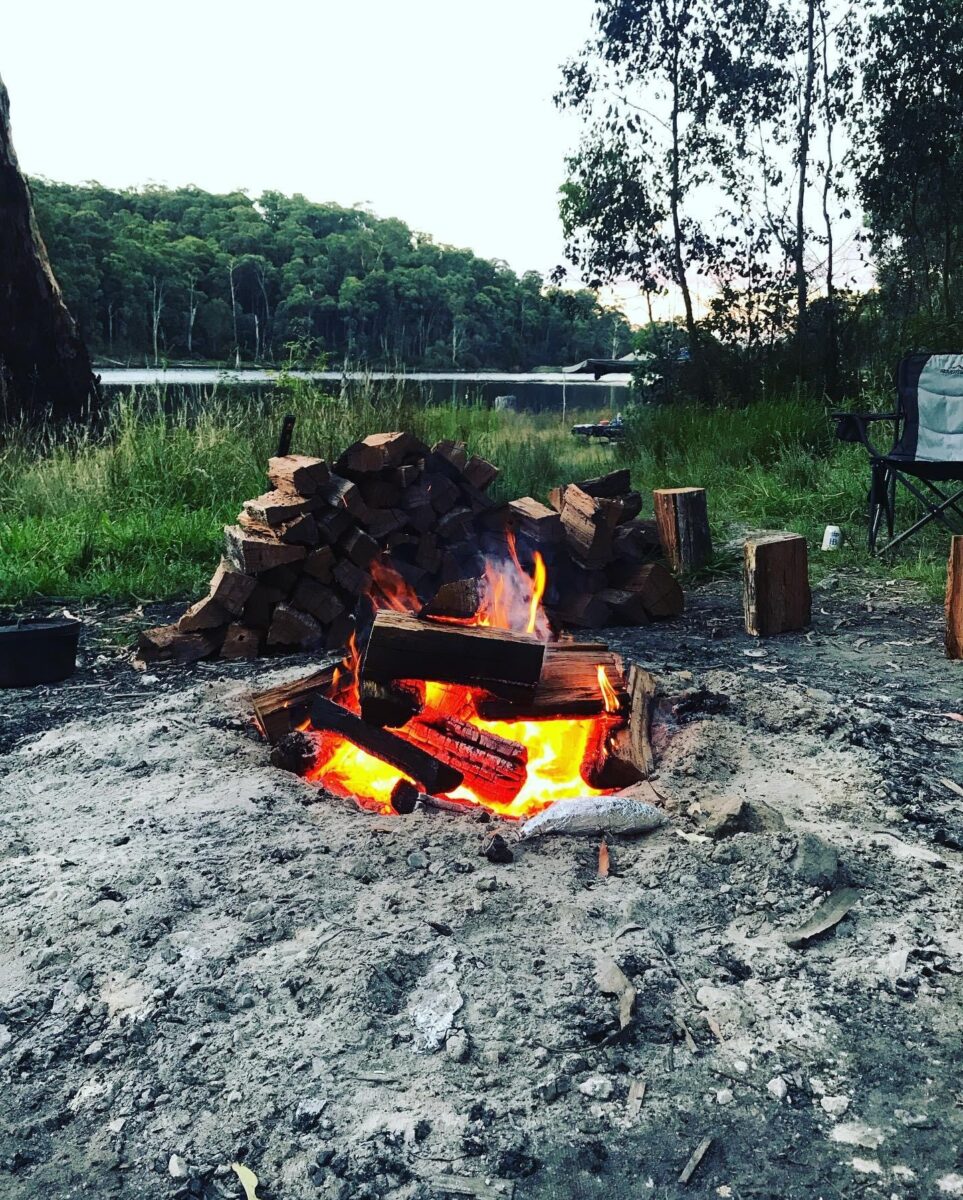
We reached the end of King Basin track and turned right down Burnt Top track to Pineapple Flat, through the river crossing, which was low. Then we picked a campsite alongside the river. We all got a spot and set up camp, then I went off and collected firewood for the night. When I got back I unloaded the wood and set up camp myself. The fire was lit and feeling pretty warm I went and had a well deserved swim, then everyone came down and we sat in the water for a couple of hours, having a laugh. That night we started to cook dinner and seeing that Dale won the Meat raffle at the Violet Town Pub on the Friday night, we cooked up most of the food as a entrée for everyone, then we cooked up our own dinner and sat around the fire for the night.
Sunday
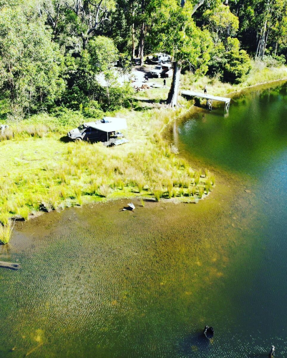
We woke up to a nice morning, getting the fire going again and cooked up breakfast, we packed up camp, had a quick briefing and got onto the tracks by 9.00am. Ian and Tim headed for home and we headed up Burnt Top track. This is really an amazing part of the High Country to drive. As Burnt Top gets to Wildhorse track we went left still staying on Burnt Top track and headed straight up to 1211m, then through the narrow ridge, which does have steep cliffs on either side, so you have to watch your line and where you are going, because the views are pretty sensational as well. We continued along Burnt Top track and the track has become a little rougher, then we turned left down Stockyard track going through a few small bog holes along the way, we then got onto Long Spur track, then left down Sandy Flat track, which is Very Steep and rocky, it was dry, so easy to drive but when it’s wet can become Very Slippery. Sandy Flat track comes down into the Top Crossing area, we had a little break before we attempted the river crossings. There is two river crossings down there, one is deep and the other is shallow just down a little bit from the deep one. So after our break we went through the shallow crossing, getting some good photos of us coming through. We then took Top Crossing track around to Lake William Hovell. We got to the Lake at 12.00pm and we were going to go along Evans track and back to Carters road, but as it was going to take us 2 hours to get back over, we decided that everyone that had to head home went through Whitfield and Benalla, so some headed for home, we were now down to 6 vehicles and we all left Lake William Hovell, we took the Upper King River road, then the vehicles staying on turned left onto Christopher’s road then we had to go through Private Property,(it’s open for public access). We had lunch at the bottom of McDonalds track, then I went for a walk to the boys of McDonalds track and it was Steep with red clay, even the map says “don’t attempt in wet weather “. So it was dry and I started to climb this track, it climbed for 9 minutes all the way was Steep. At the top we got to the Whitfield/Mansfield road and back onto asphalt, we didn’t air up, just drove slower. We got to Burders road and we turned left then turned right down Boggy Creek track to Frascas Dam. We found one of the most amazing campsites, with our own little Jetty. We picked our spots and set up camp, and we went and collected firewood. We had a great afternoon jumping off the Jetty into the water and swimming, the water was sensational. We even had some locals turning up for a swim as well and weren’t shy, jumping in fully naked. We lit the fire and had a great night around the fire, watching the sun go down over the Lake.
Monday
We woke to a perfect morning, a nice sleep in and not a breath of wind, so we lit the fire again and sat there overlooking the Lake and watching the sun rise up behind us coming over the Lake, with the shadows of the Mountains on the other side reflecting on the water looking like two mountains. We decided to hang around a bit longer taking it all in, so we cooked up breakfast just relaxing for that morning. We eventually packed up camp and left camp at 10.30am.
Back up Boggy Creek track and stopped at a clearing and a single table and chair out in the middle of the grassy area, so we just took photos of this random spot. We kept going till we got back to Burders road and we aired up. We then turned right onto Whitfield/Mansfield road and headed towards Tolmie. Just before Tolmie we turned right onto Tolmie/Tatong road and headed for Stringybark Creek, we turned into Stringybark Creek campground and we pulled up in one of the campsites. We went for a walk down to where Ned Kelly had the shoot out with the Police at Stringybark Creek back in 1878, we walked around the site, reading all the information before walking back to the vehicles and a lunch break.
After lunch we headed out along the Tolmie/Tatong road, through Tatong to Benalla then we headed for home.
Participants
Russell. 105 LandCruiser
Allan and Eddie. Triton
Karl. 105 LandCruiser
Geoff. Isuzu
Simeon. Hilux
Ian and Tim. Nissan Patrol
Dean. Ranger
Luke. Hilux
Dave and Angela. Nissan Patrol
Brett. Hilux
Dale H. 105 LandCruiser
Dave F. Jackaroo
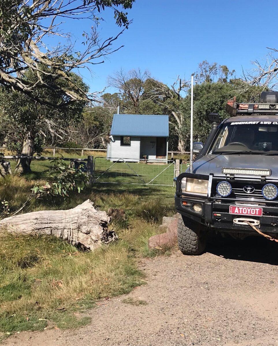
No 3 hut 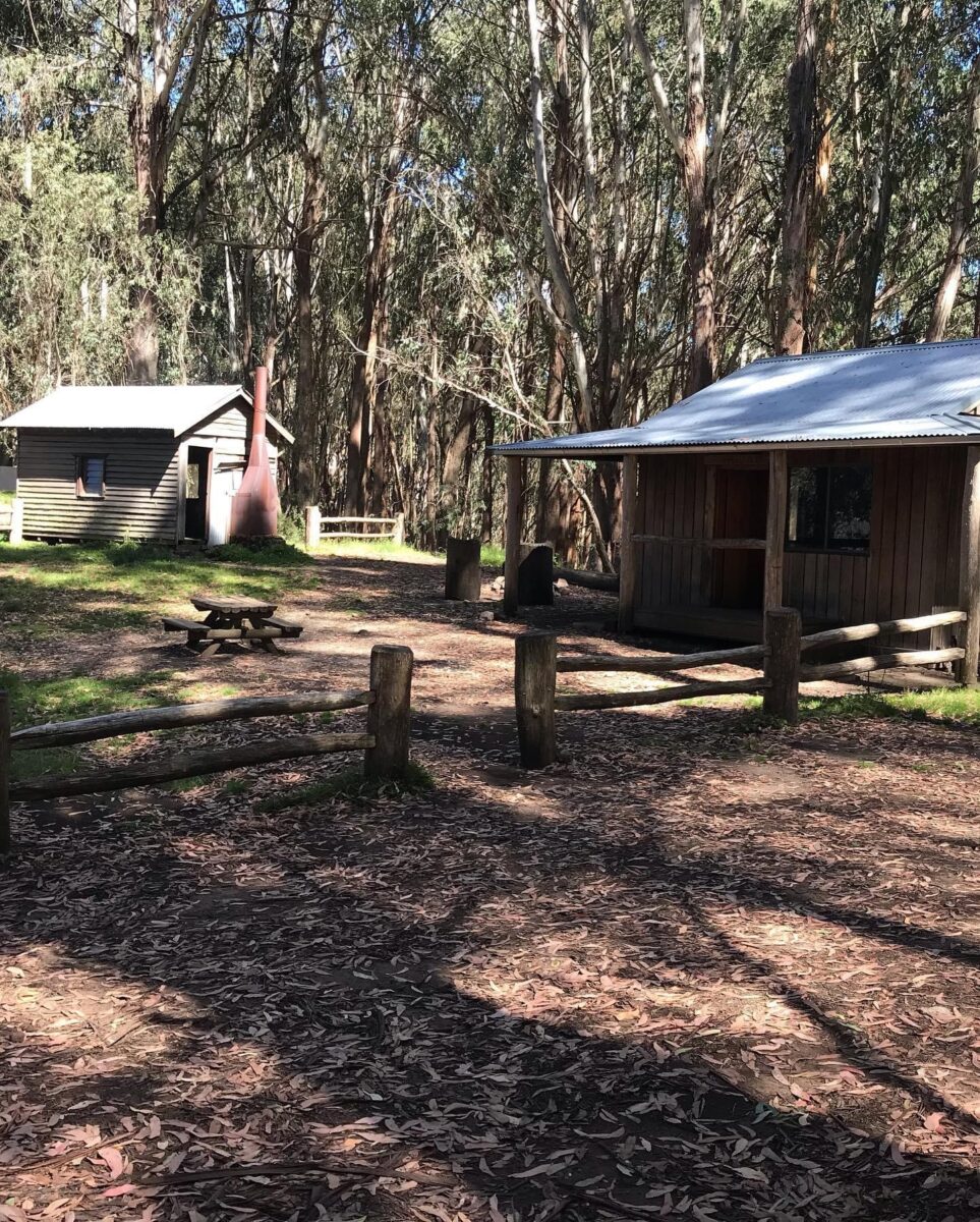
Howqua gap huts 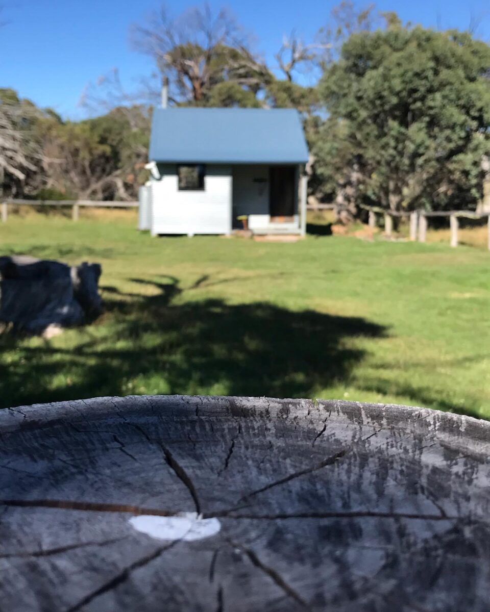
No 3 hut 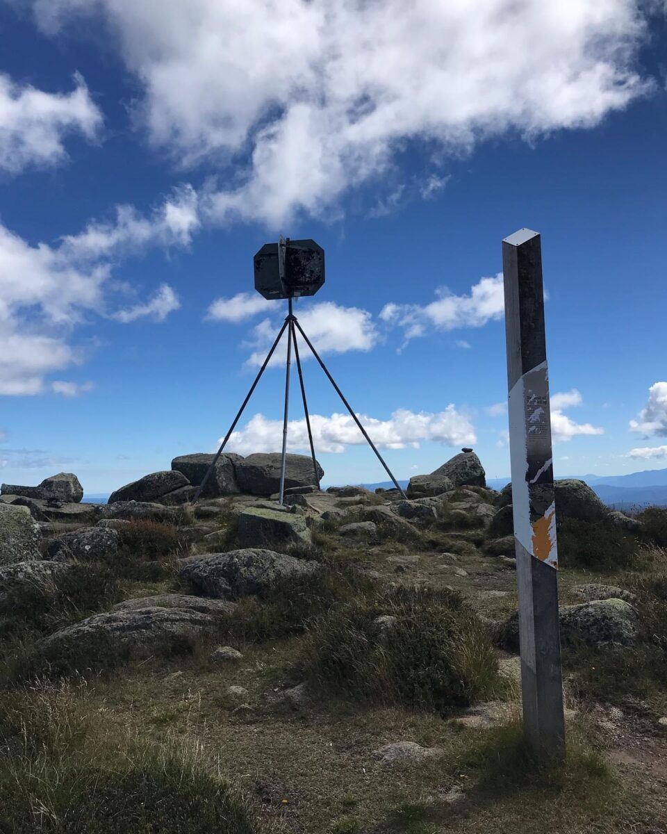
Mt Stirling 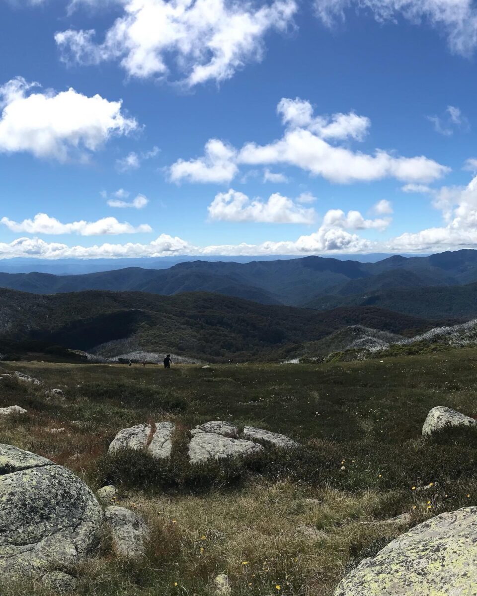
Mt Stirling 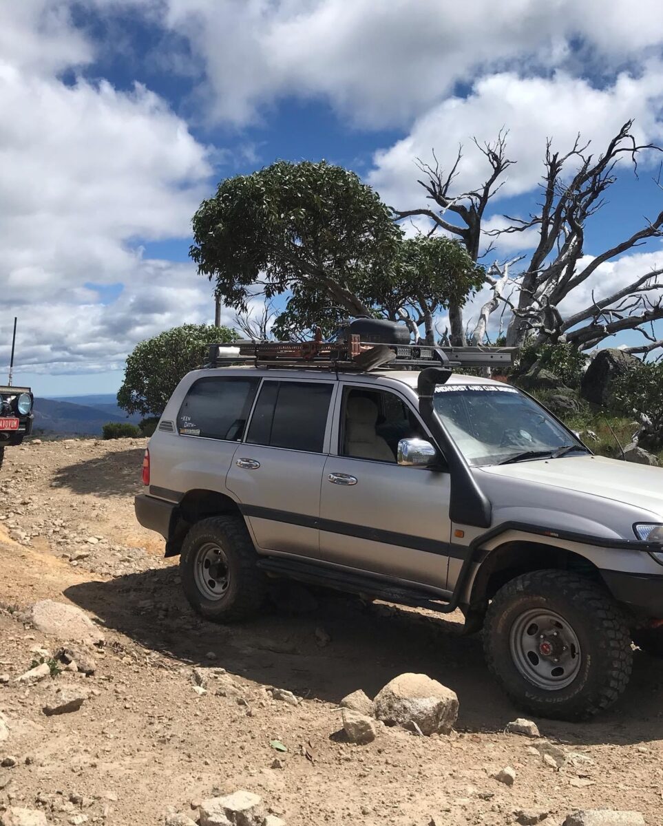
Craigs hut 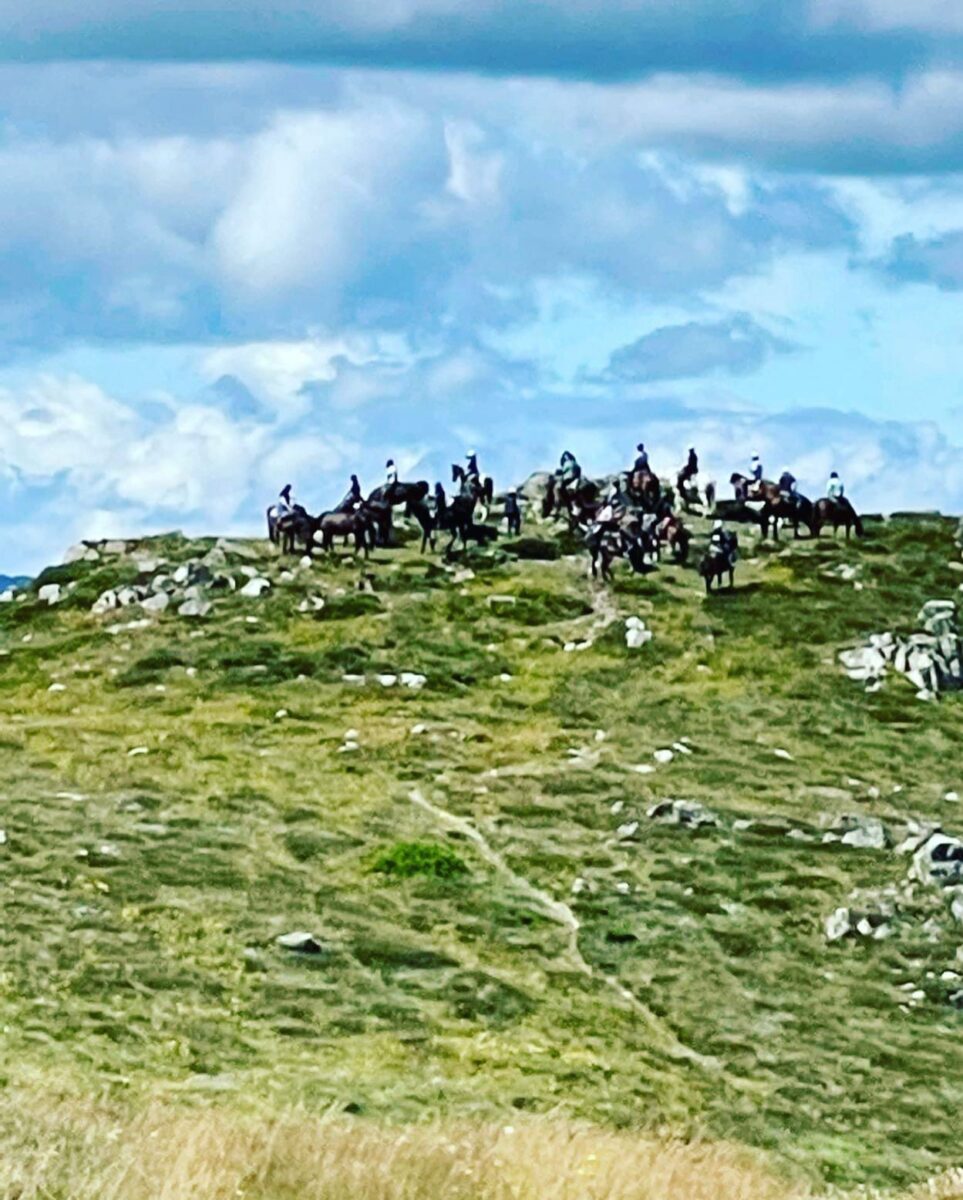
Mt Stirling 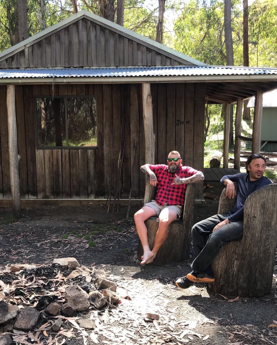
Howqua gap huts 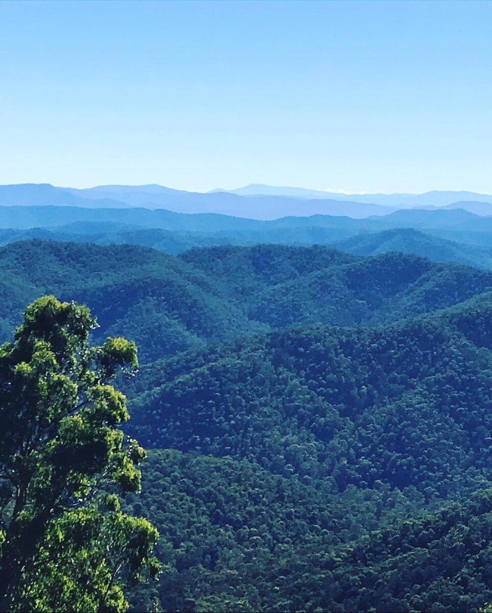
Craigs hut 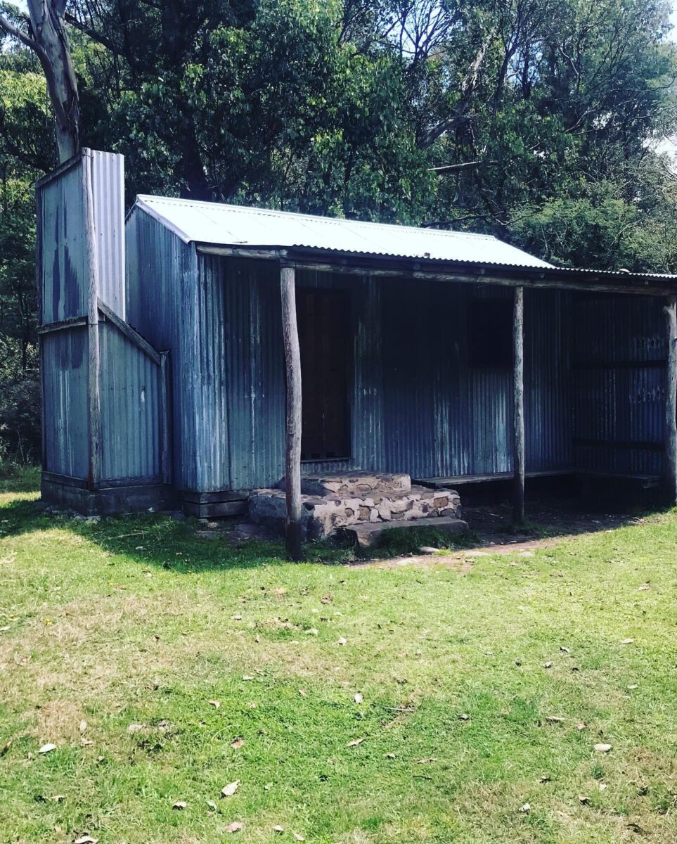
Kings Hut 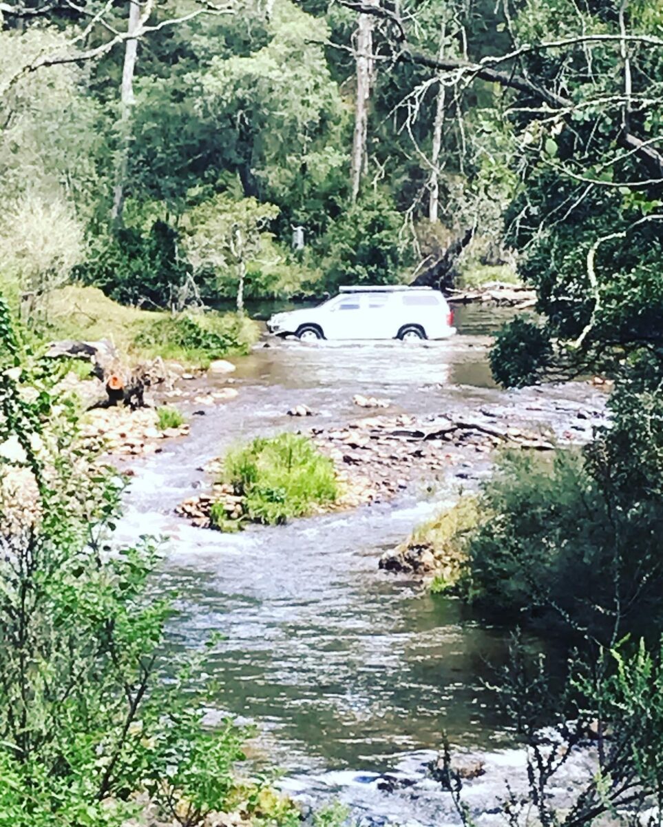
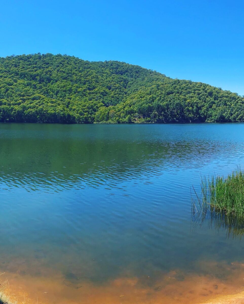
Francas dam 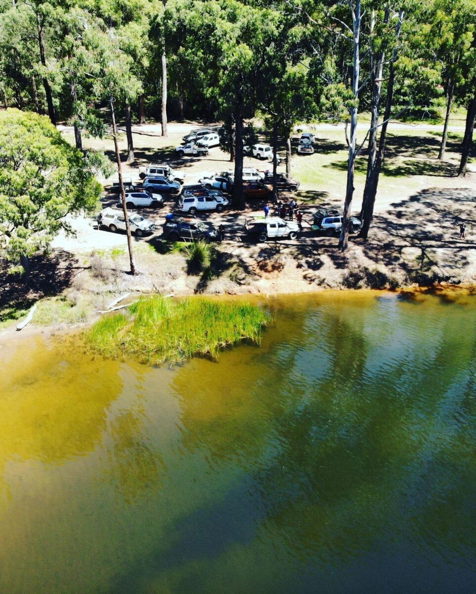
Lake William Hovell 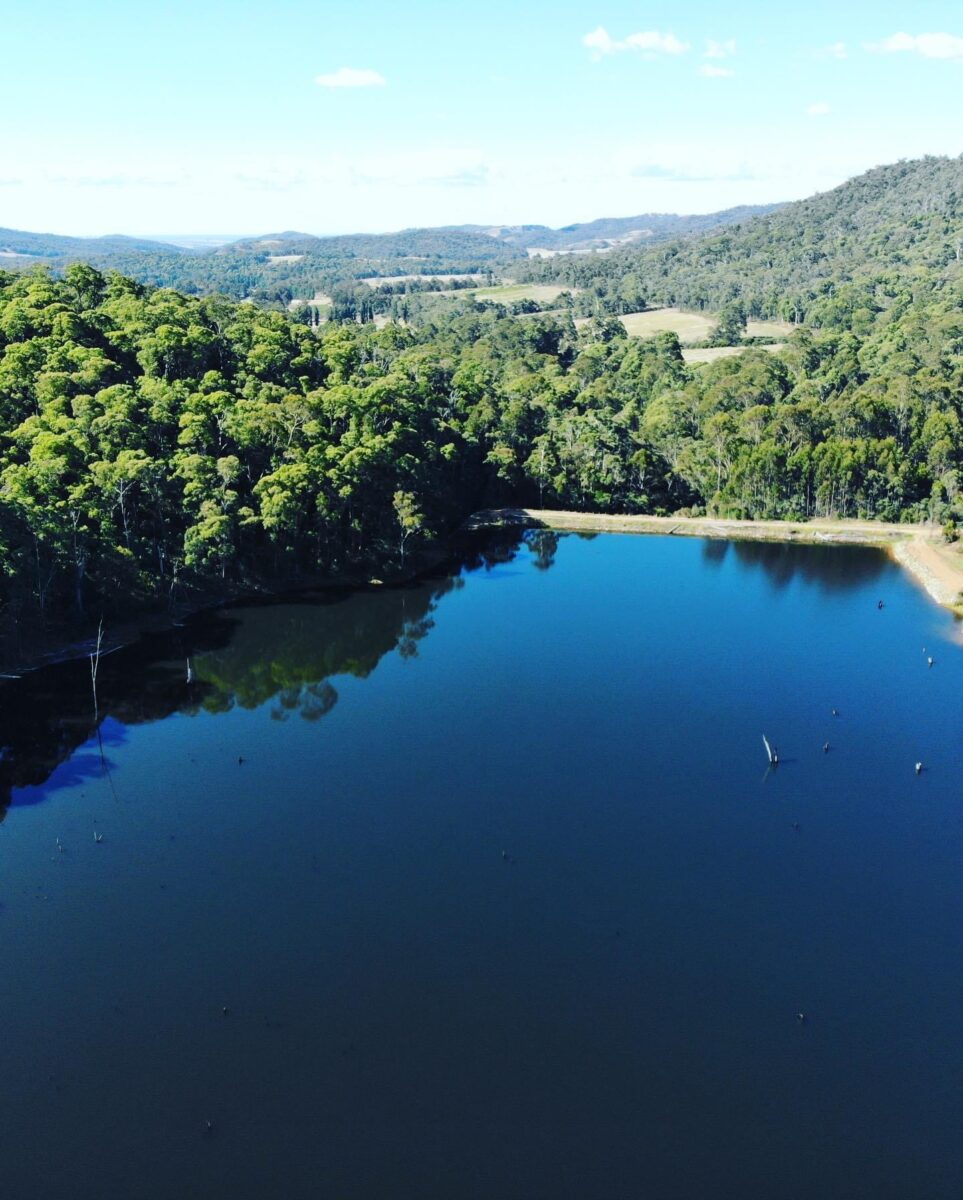
Francas dam 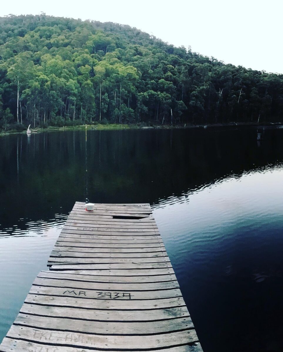
Francas dam 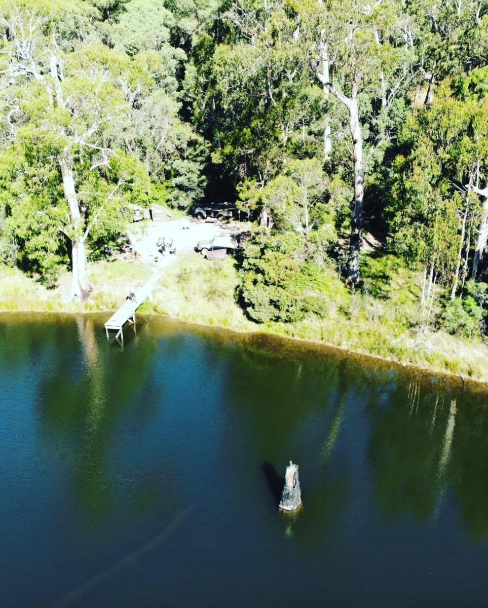
Francas dam 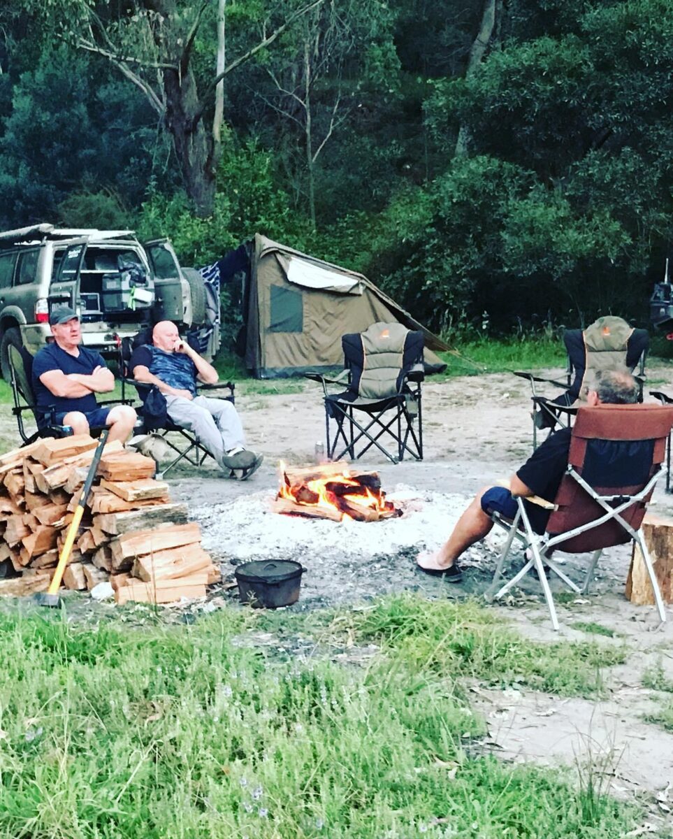
Francas dam 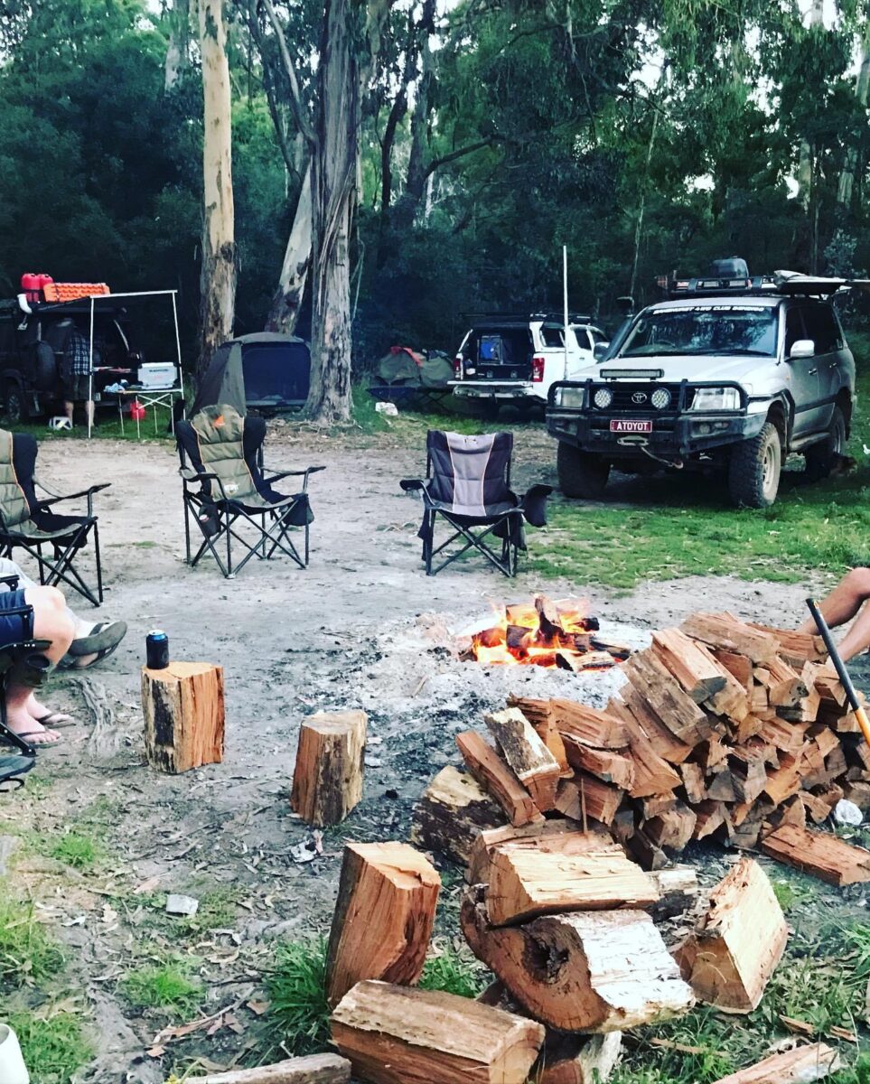
Francas dam 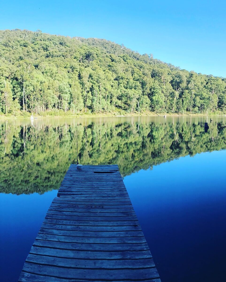
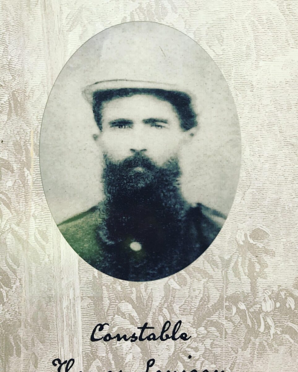
Stringybark creek 
Stringybark creek 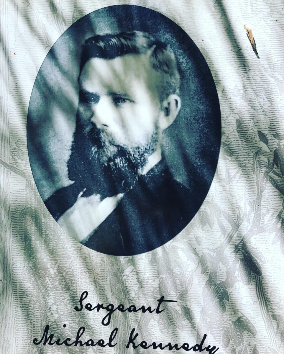
Stringybark creek 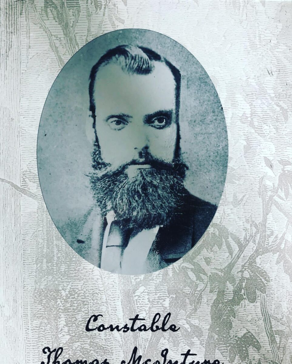
Stringybark creek 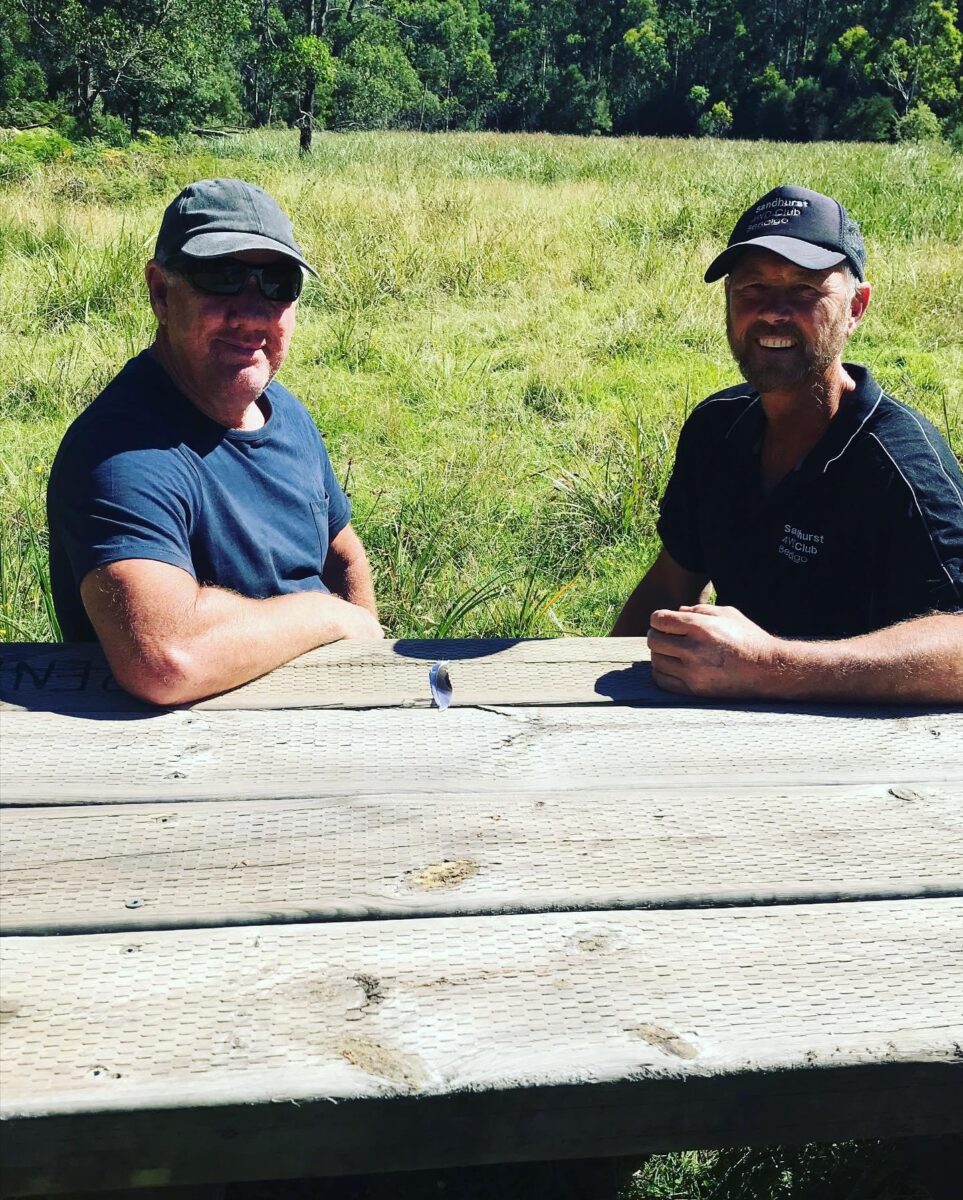
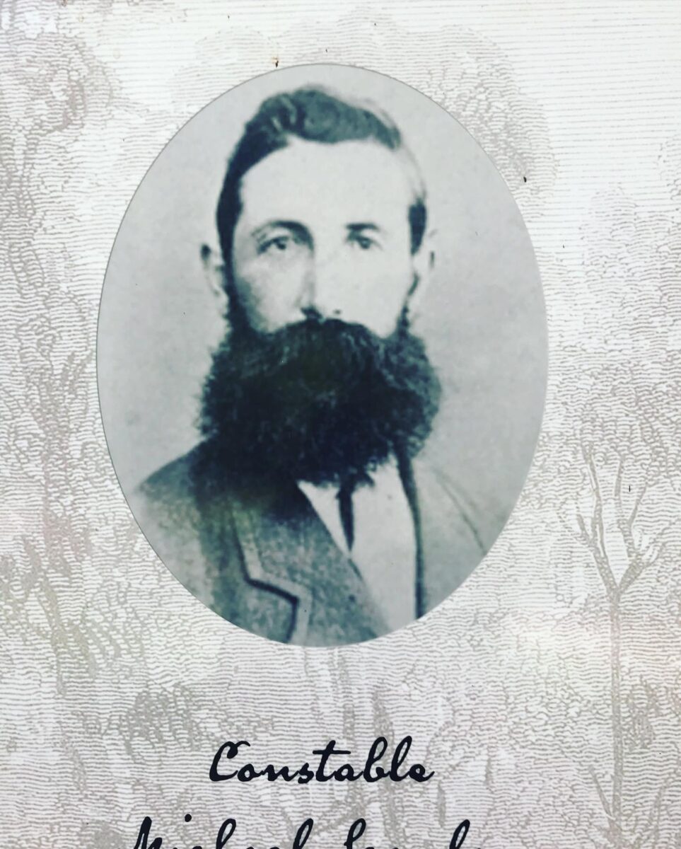
Stringybark creek 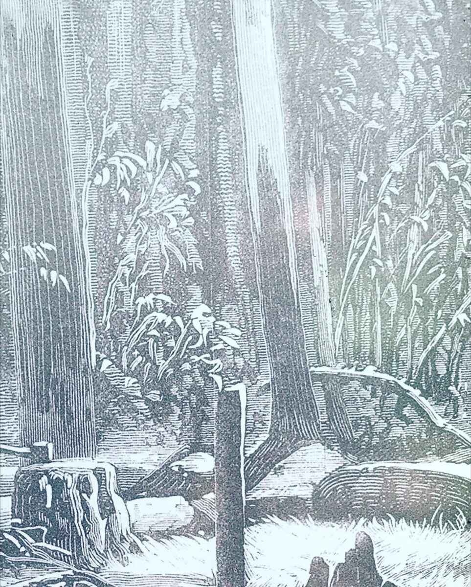
Stringybark creek


