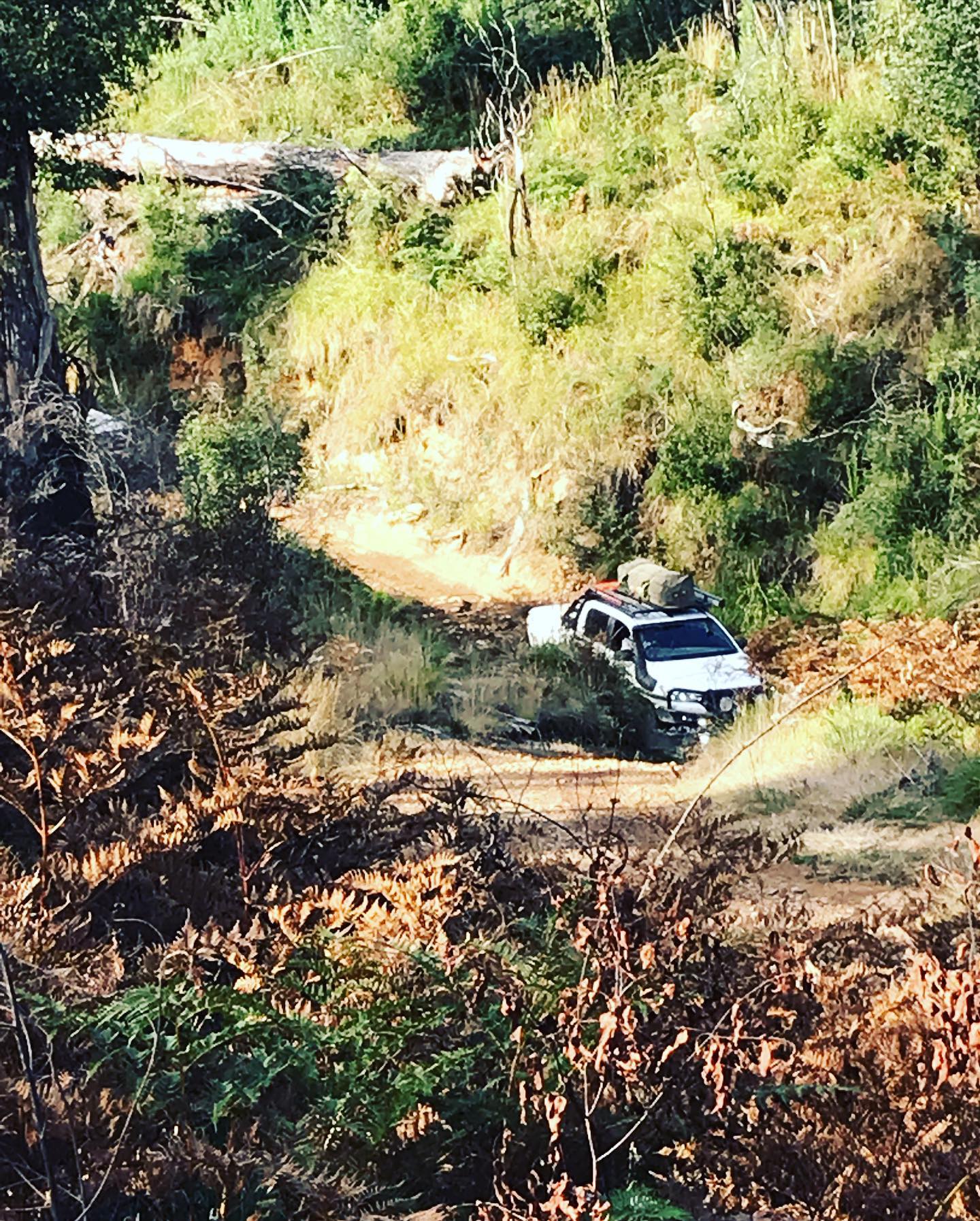
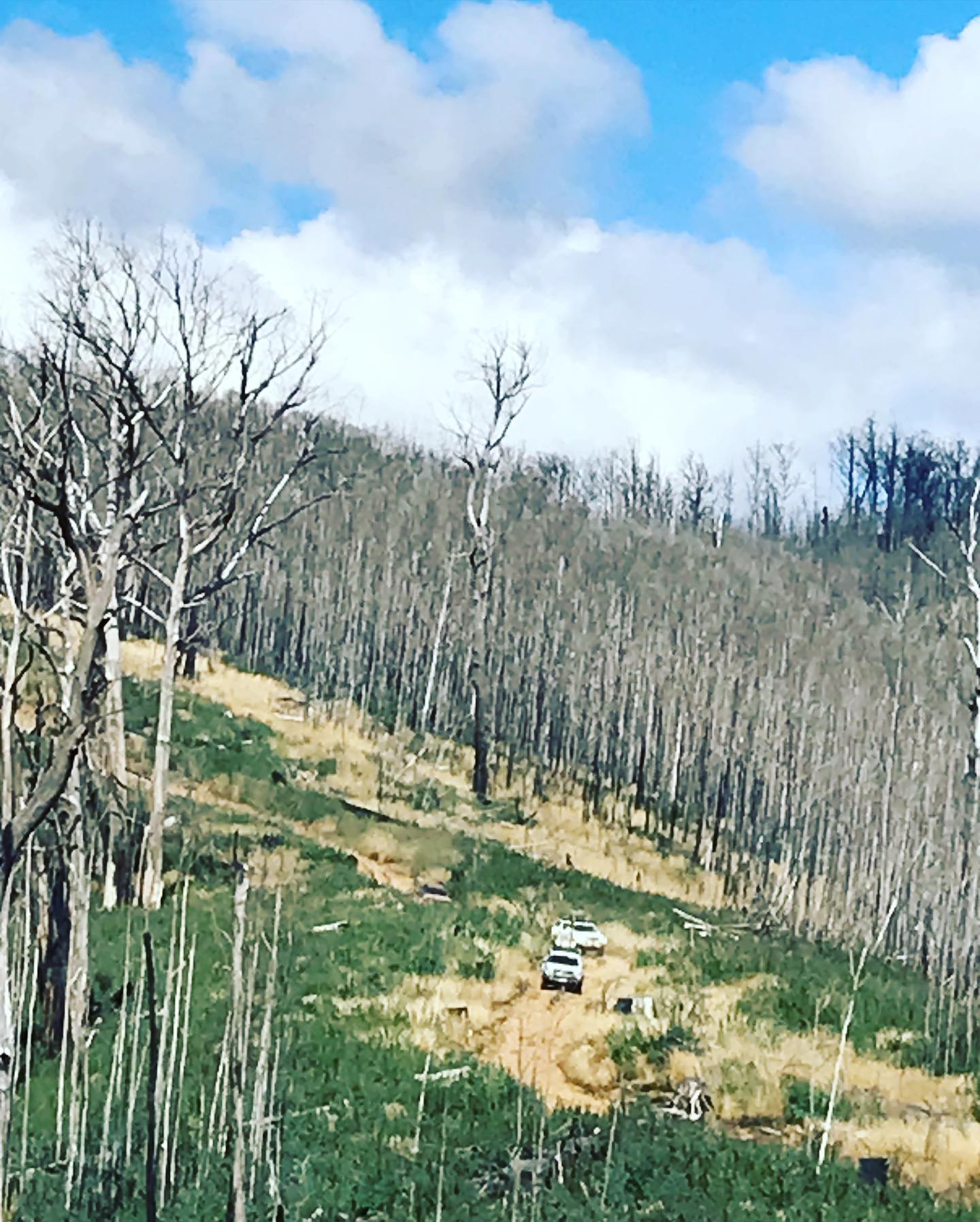
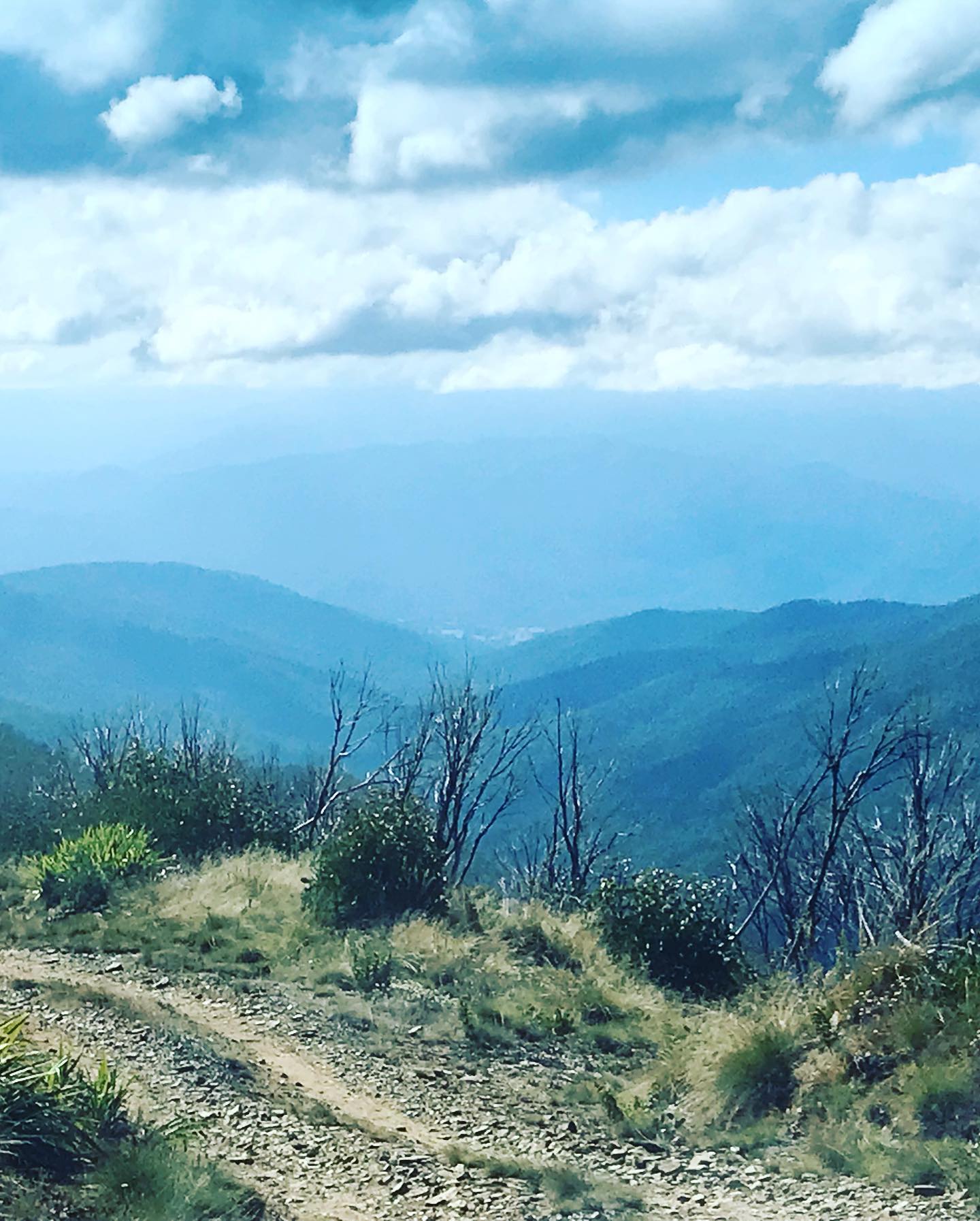
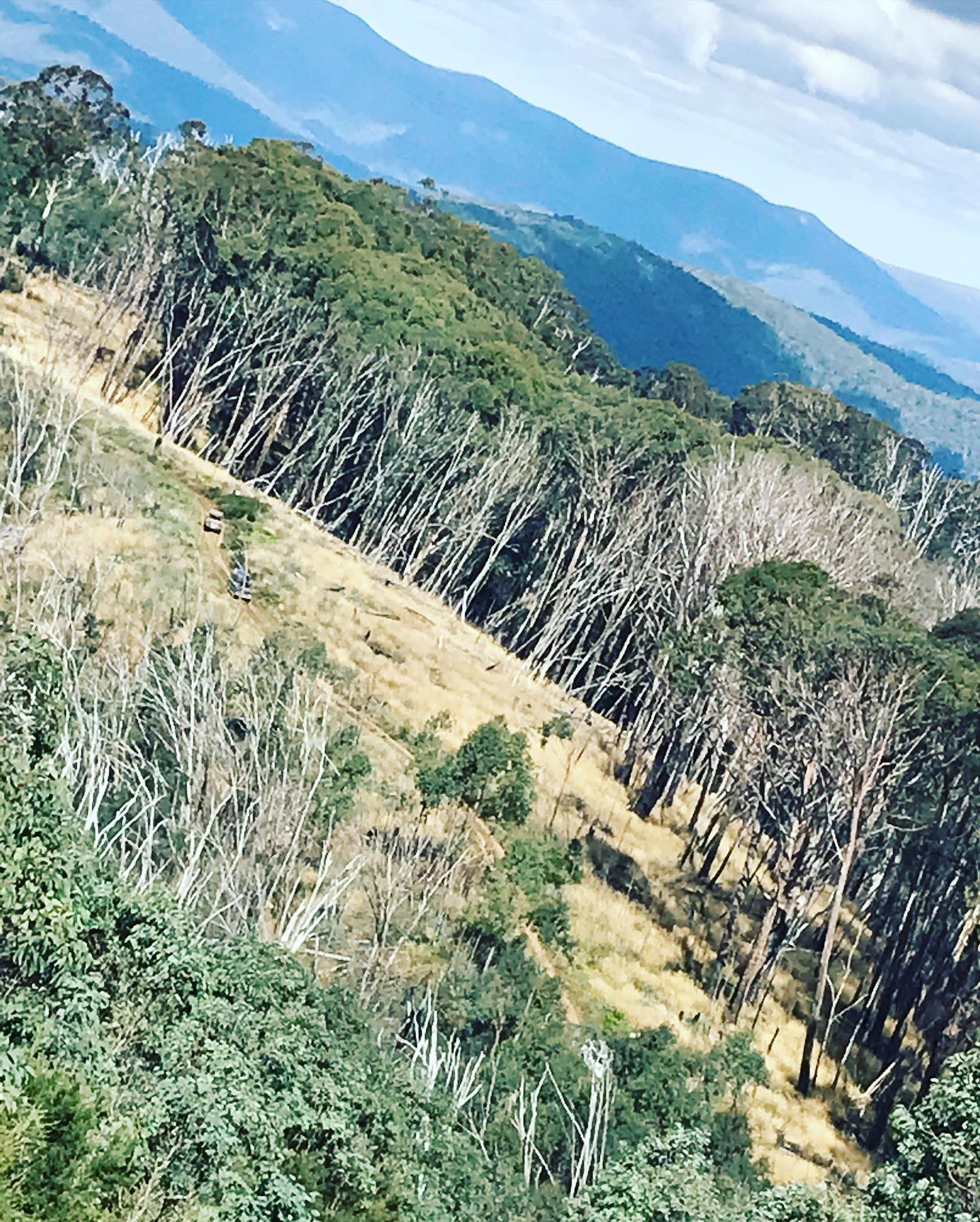
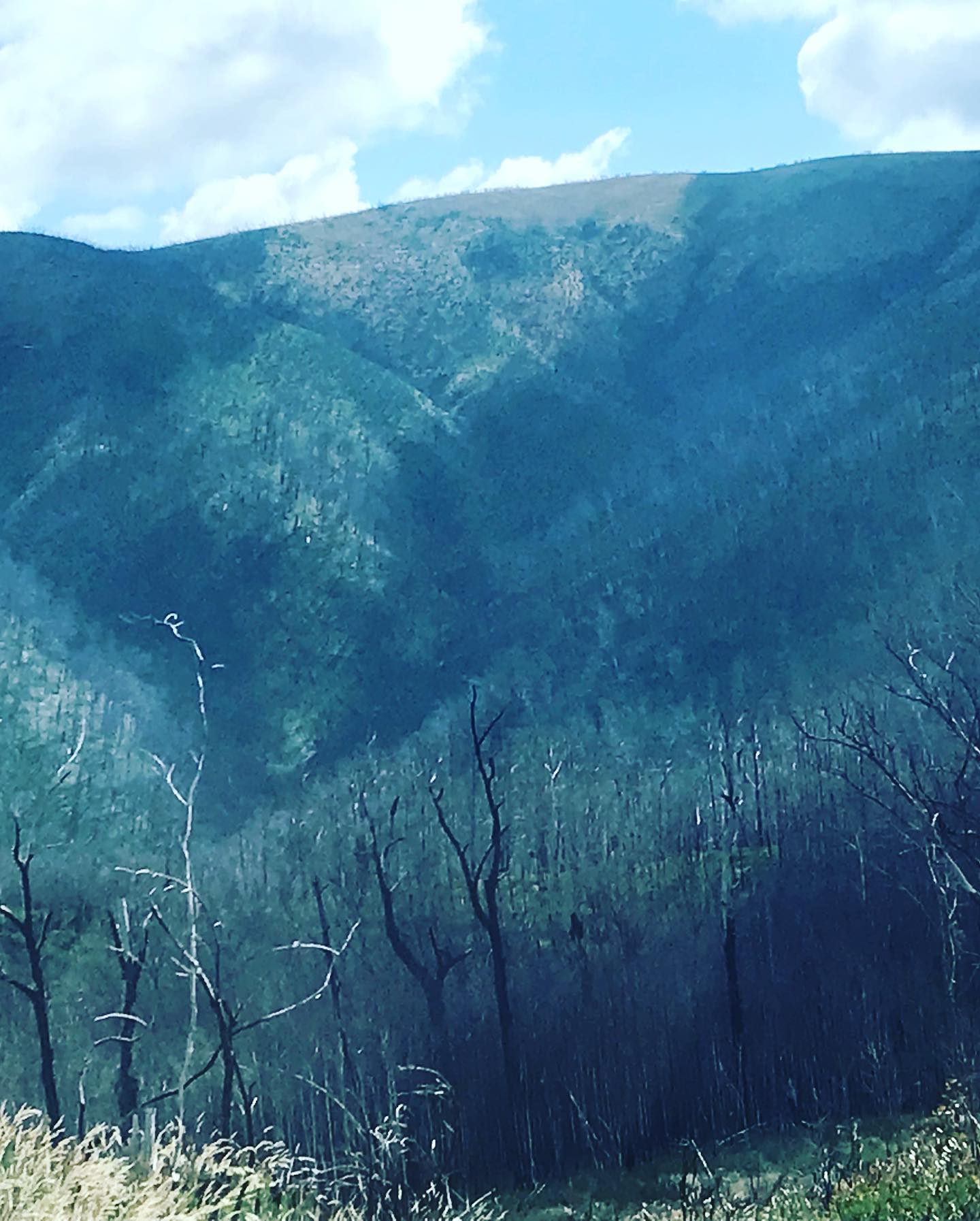
Over the Easter break we had a planned trip to Source the Start of the Murray, and find the Cairn 1 which is the point on the Victorian and New South Wales border. We had to get into Cowombat Flat, and we also knew that we had a walk in, into Cowombat flat along Cowombat Flat track. So did we make it? No! we didn’t, you can drive in the first 4kms to the car park, then there is a 13-14 km walk just into Cowombat Flat, so we decided not to do the walk and we are planning another trip in the future.
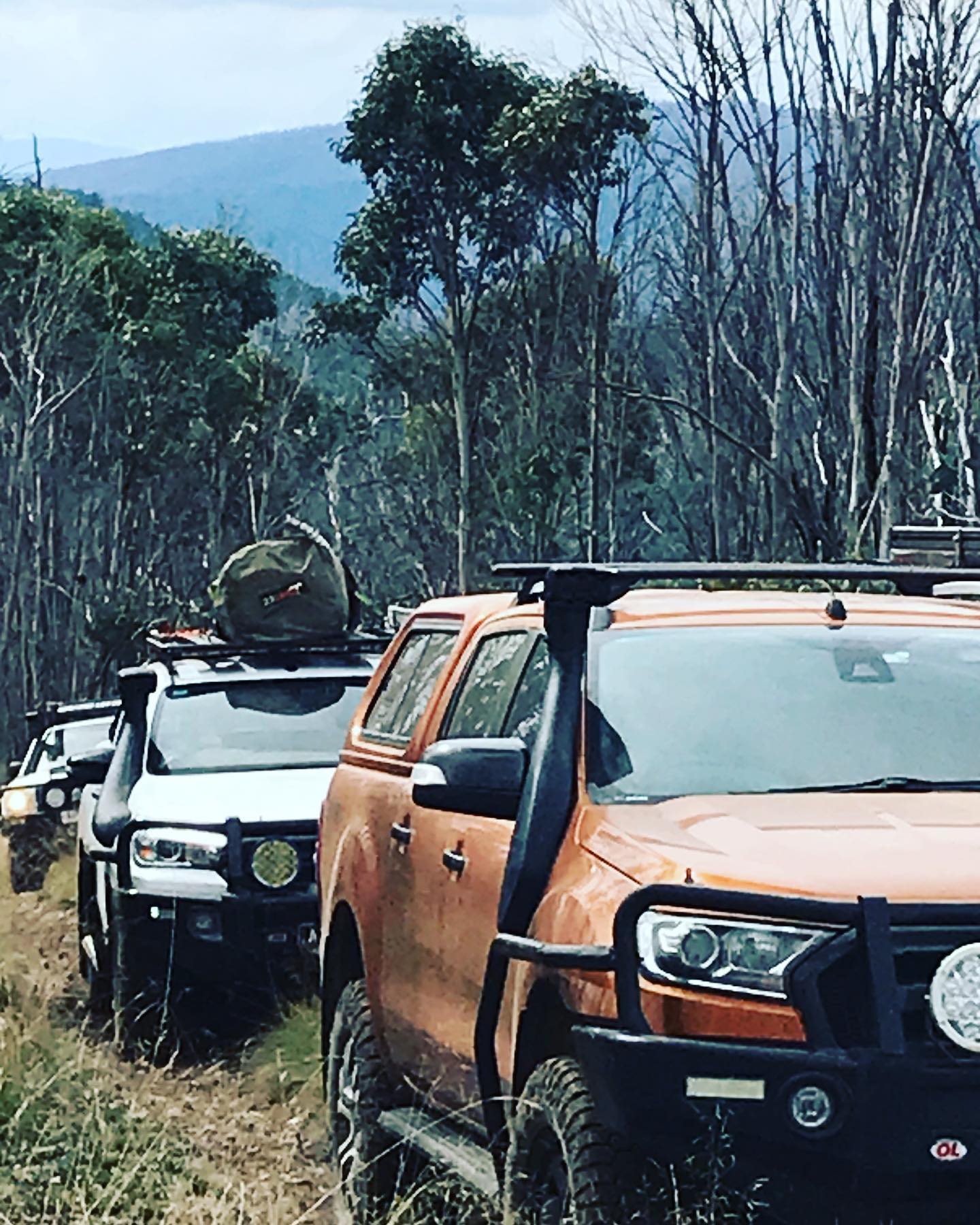
For this trip we had 11 vehicles, all heading up to Staceys Bridge on the Corryong/Benambra road on Thursday night.
Friday
In the morning when we woke some vehicles had to head back into Corryong for fuel as they realised they didn’t have enough fuel to do the entire drive for the weekend, so the rest of us packed up camp and for them to return back. We had a briefing on the weekend and the day’s events.
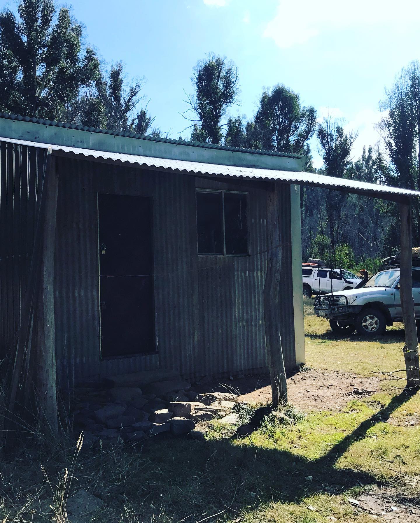
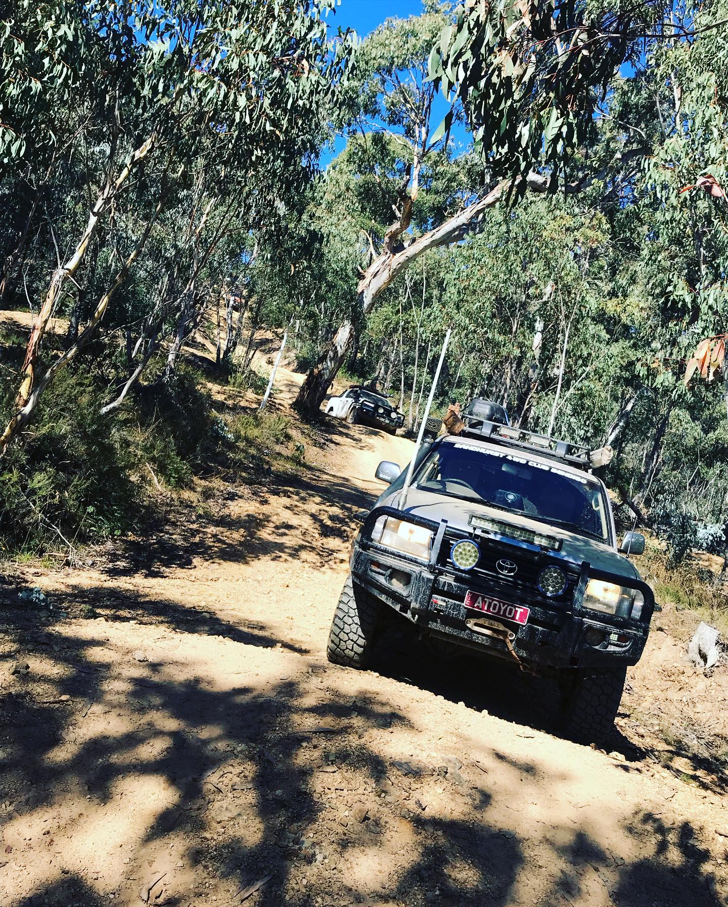
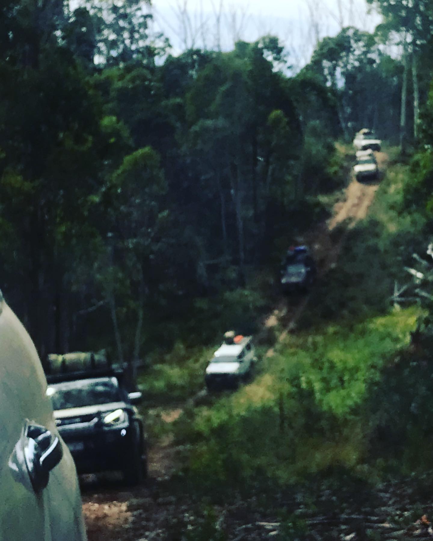
We headed off at 9.00am down Corryong/Benambra road for about 2kms then turned right onto Scrubby Creek track and we were straight into Low Range, with a fairly steep climb, looking back over the Nariel Valley. This track is about 10 km long so it goes on for a while, coming out at Lind Lodge which is just a camping spot and a toilet block now. So we turned right onto Six Mile Ridge track and headed around to Cattlemens track, back into 2wd down this track as it’s very easy to drive. Cattleman’s take you straight to Wheelers Hut area and Campsite. The Hut was burnt down back in the 2019 fires and never got rebuilt, so we had a small break and a look around.
After our break we headed down Paddy Joy track, which is a short track but a good 4wd track, we then come to Wild Boar road and we turned left and back into 2wd for a while. Then we turned right down Pheasant Creek track and at the start it’s called Long Grass, for a reason you drive through a lot of long grass. The track could be dangerous in the Summer months that your vehicle doesn’t cause a fire, of your hot engine or exhaust. We pulled up for lunch about 12.00pm on the Heli pad for 30mins.
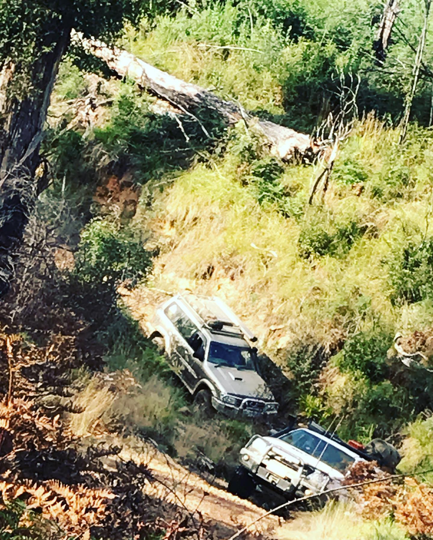
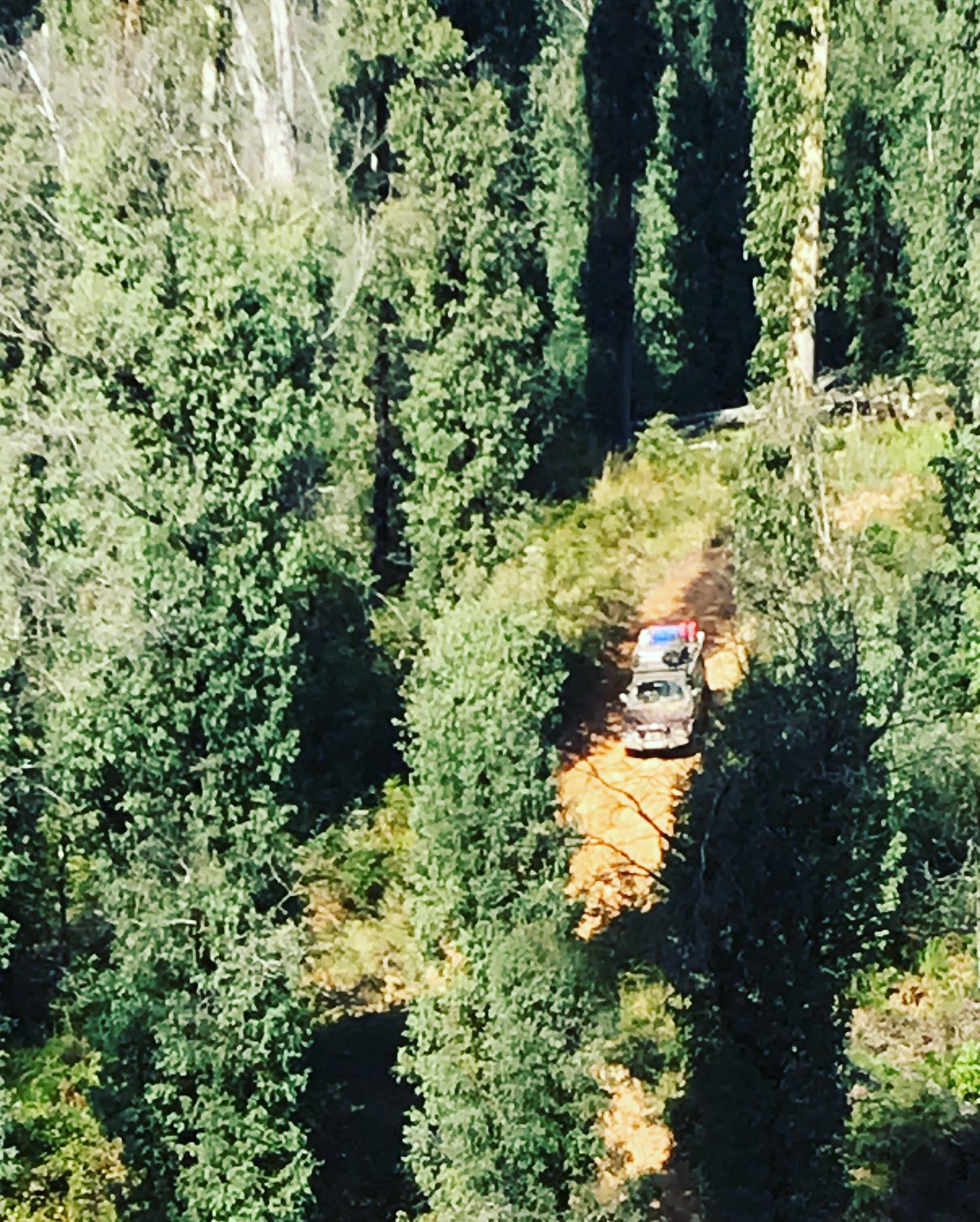
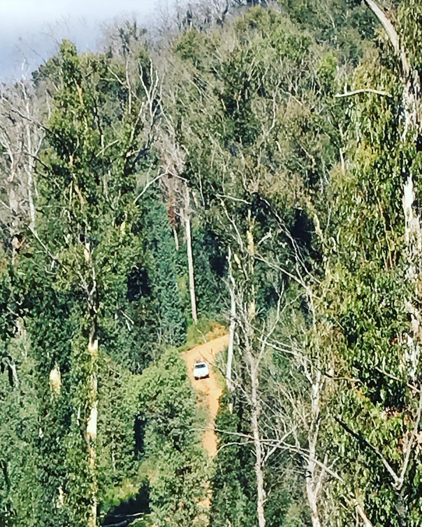
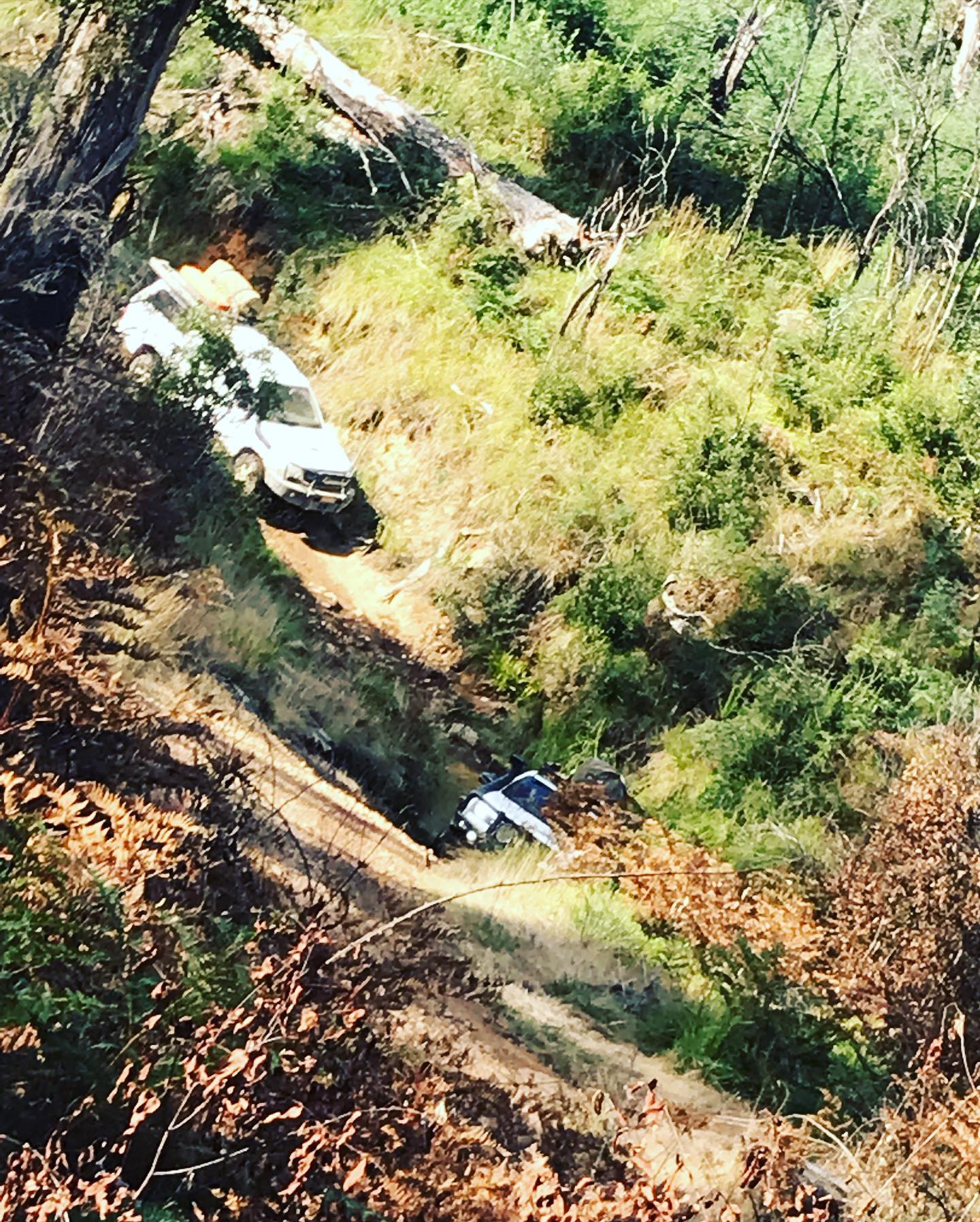
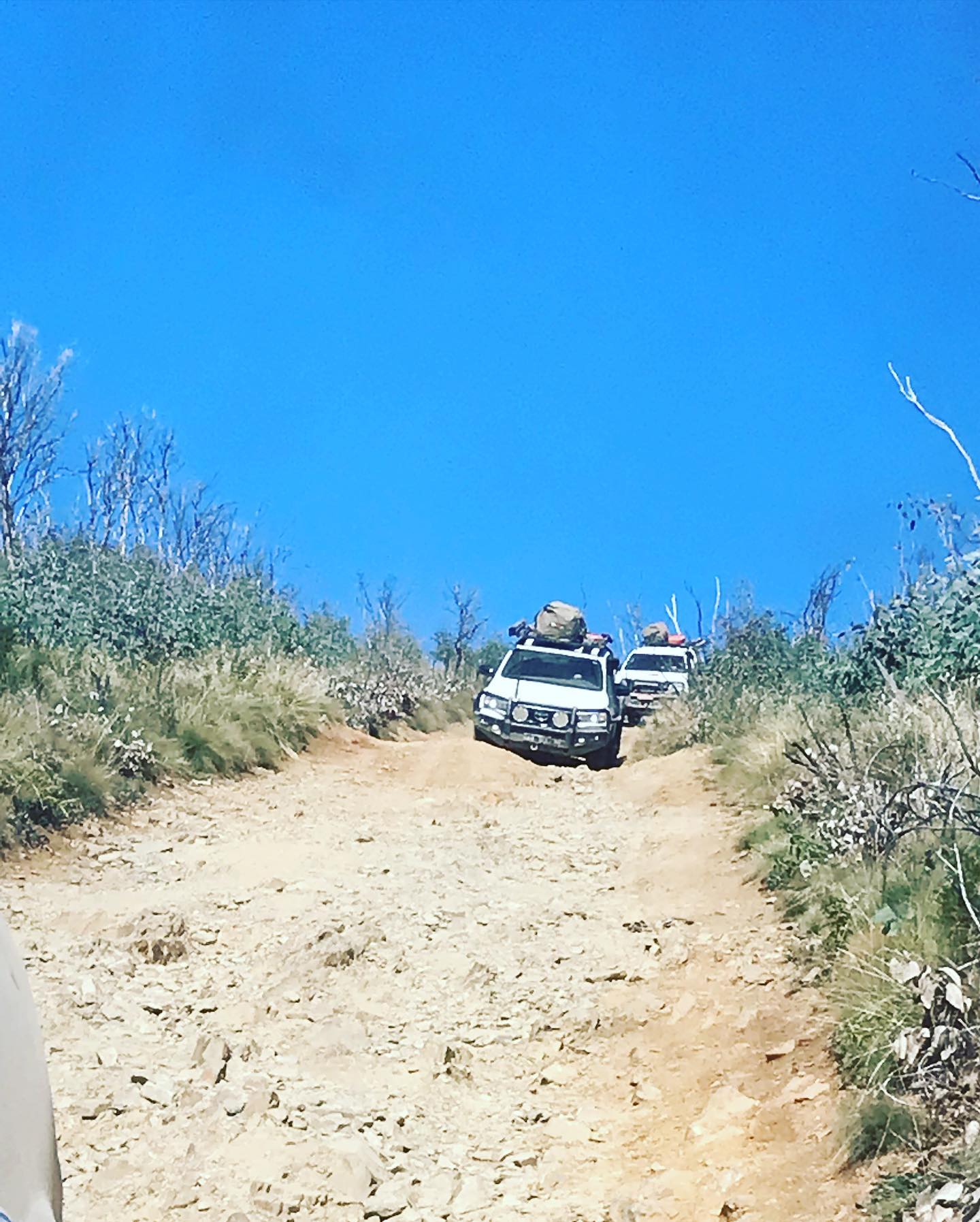
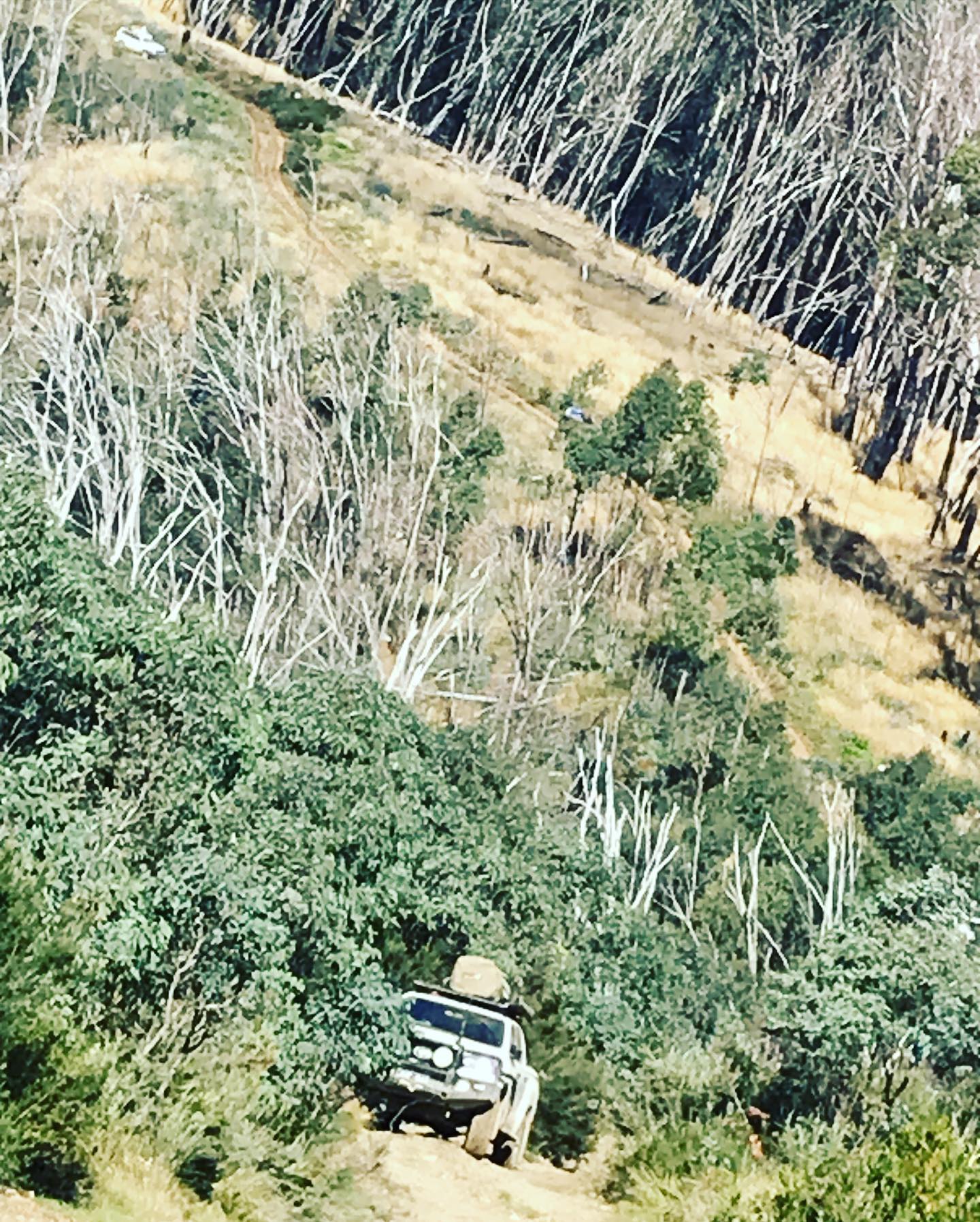
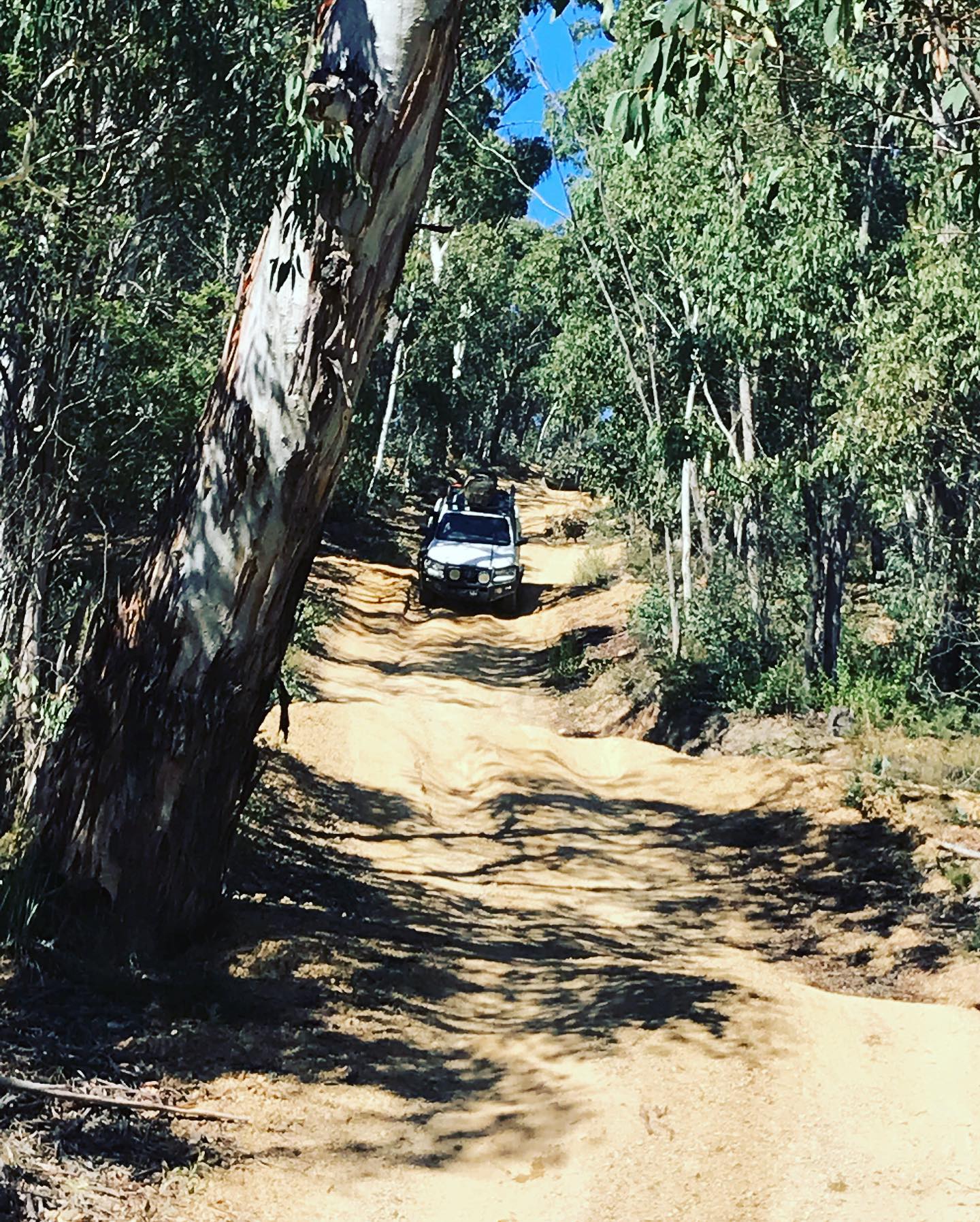
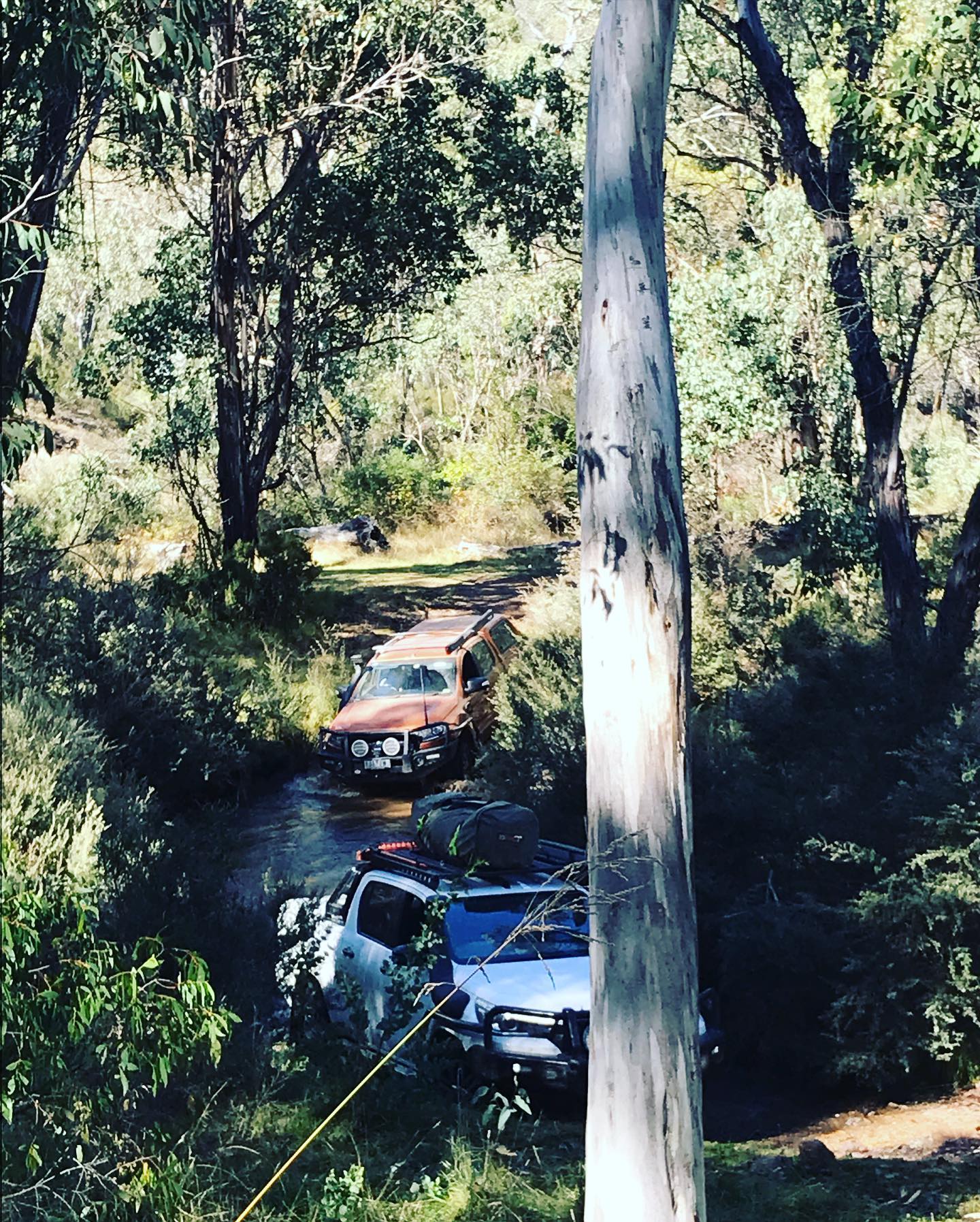
After lunch we continued along down Pheasant Creek track and then it gets really steep, first gear Low Range to the bottom, through Gibbo river then a steep climb up to the top. This section of the track is Very Steep and rocky in places, so you have to think about what you are doing the the entire drive up, we all made it up and waited till everyone made it to the top. We turned left onto R.W.A.P track and another good track to drive with steep inclines and declines, at the end we turned right onto Beloka Range track which is an easy drive, bringing us to Beloka Range road and back into 2wd. We just followed the dirt road to Limestone road and drove till we got to Native Dog Flat Camping area.
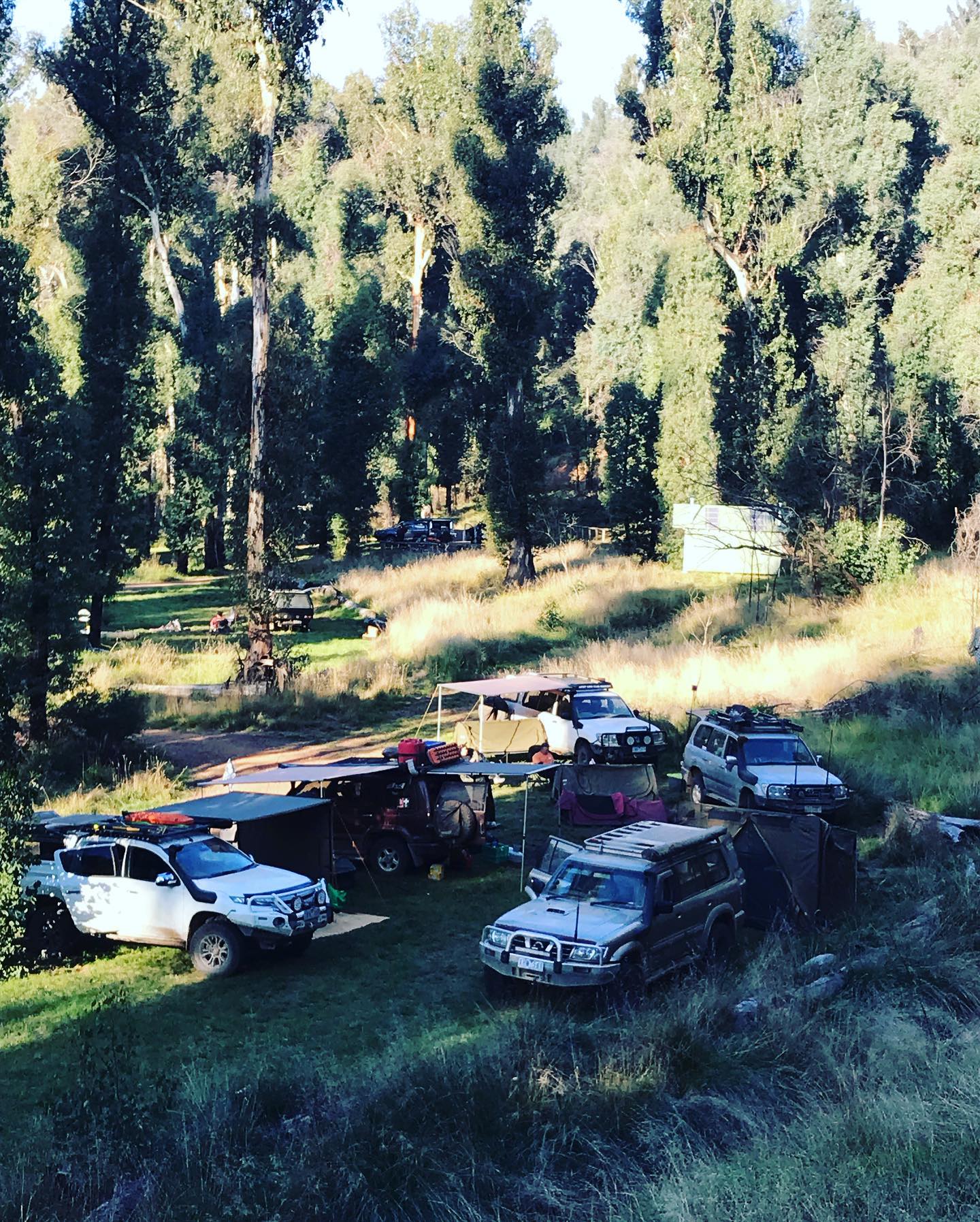
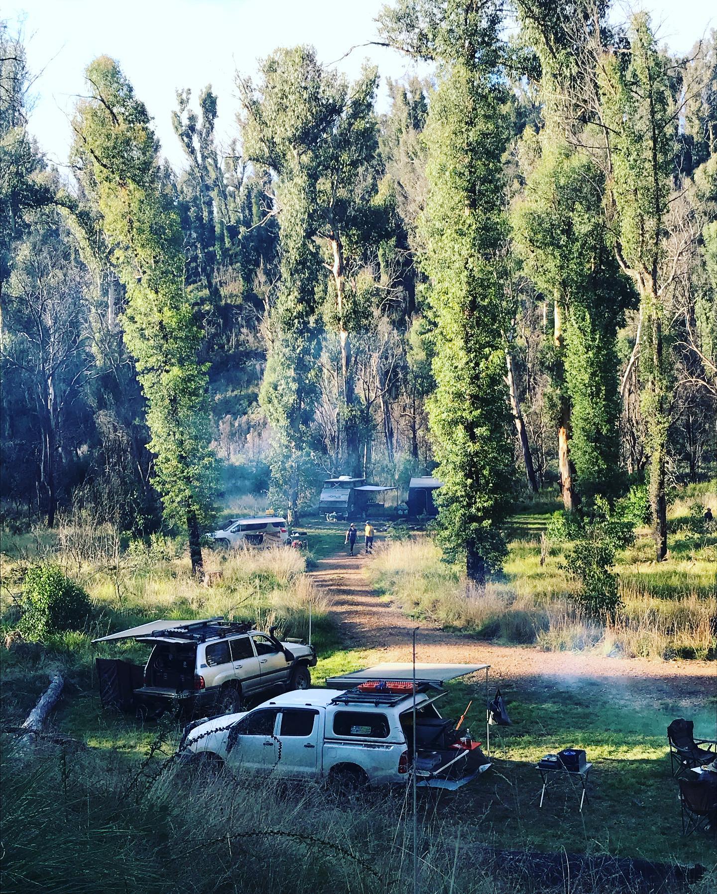
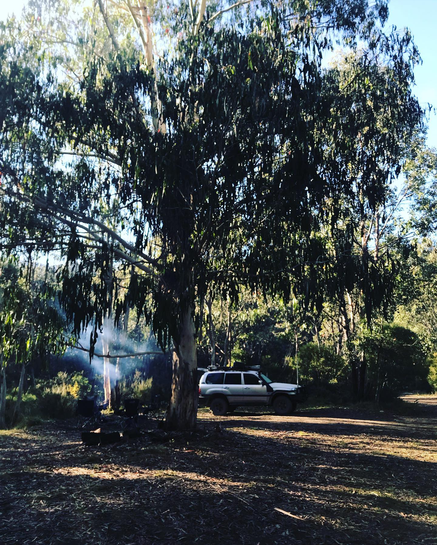
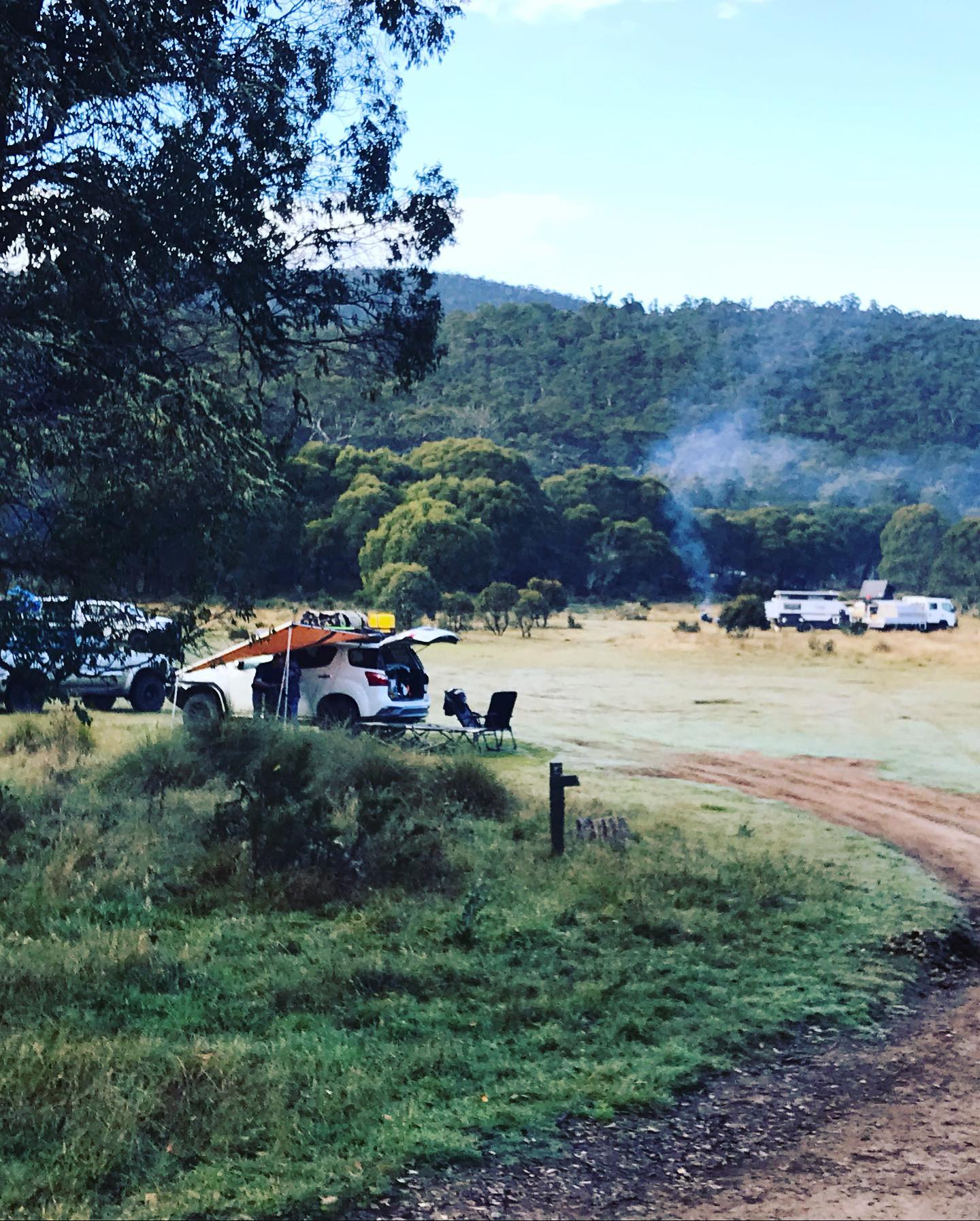
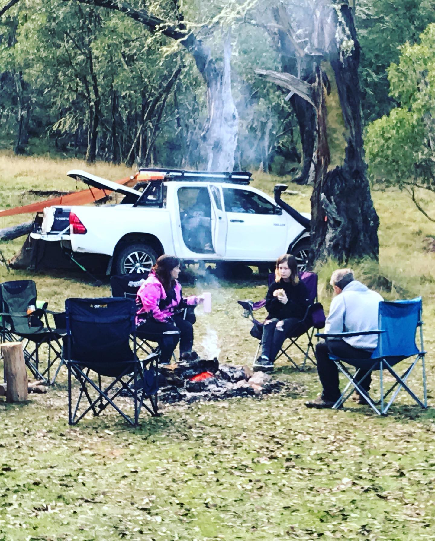
Native Dog Flat Camping area is a very large area good for large groups, we found a spot as it was fairly full, we cut wood for the fire, the fire was lit and we set up camp and had a nice big fire as it was cold that night. We made Baileys and Fireball drinks in Easter eggs that really warned you up as well.
Saturday
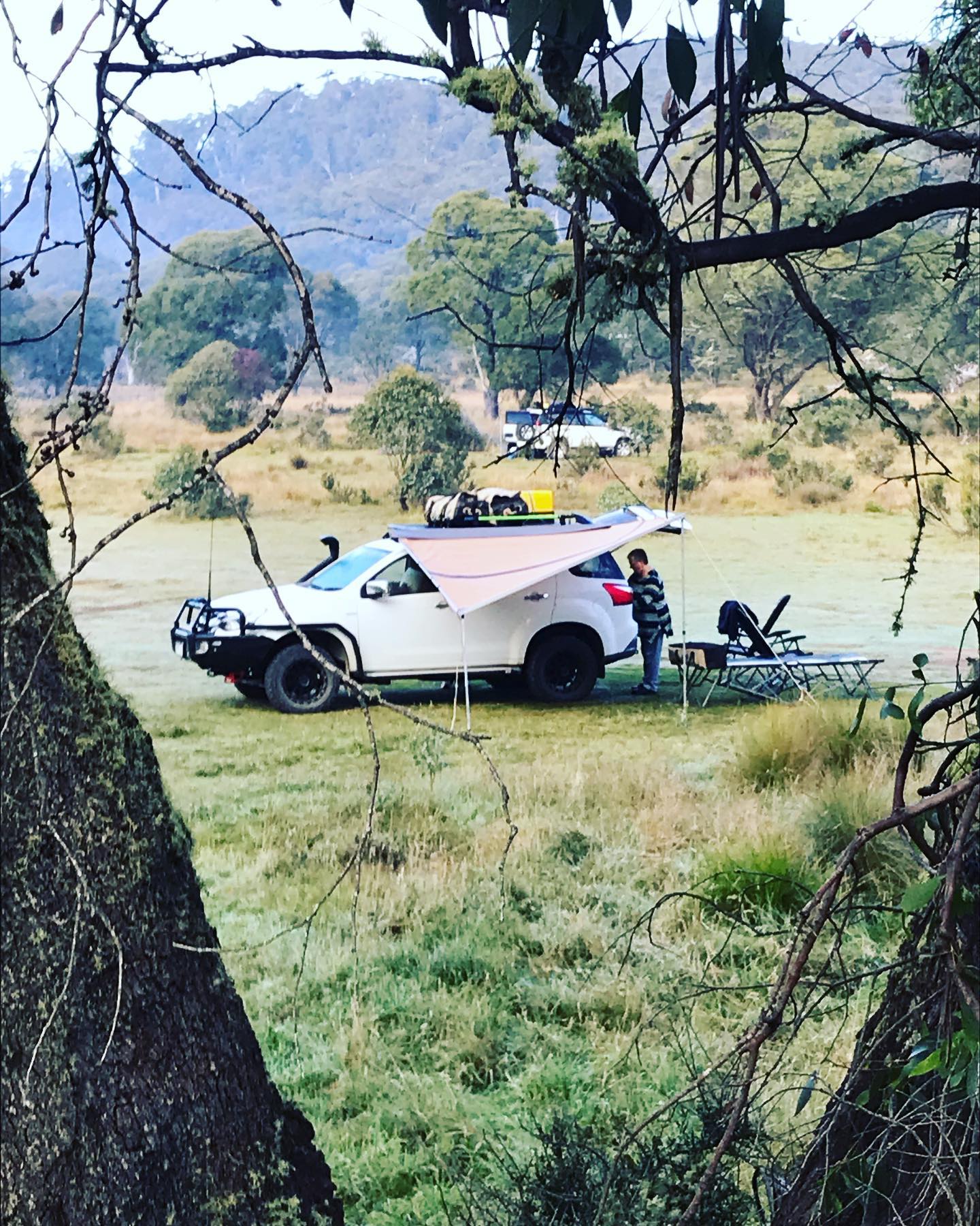
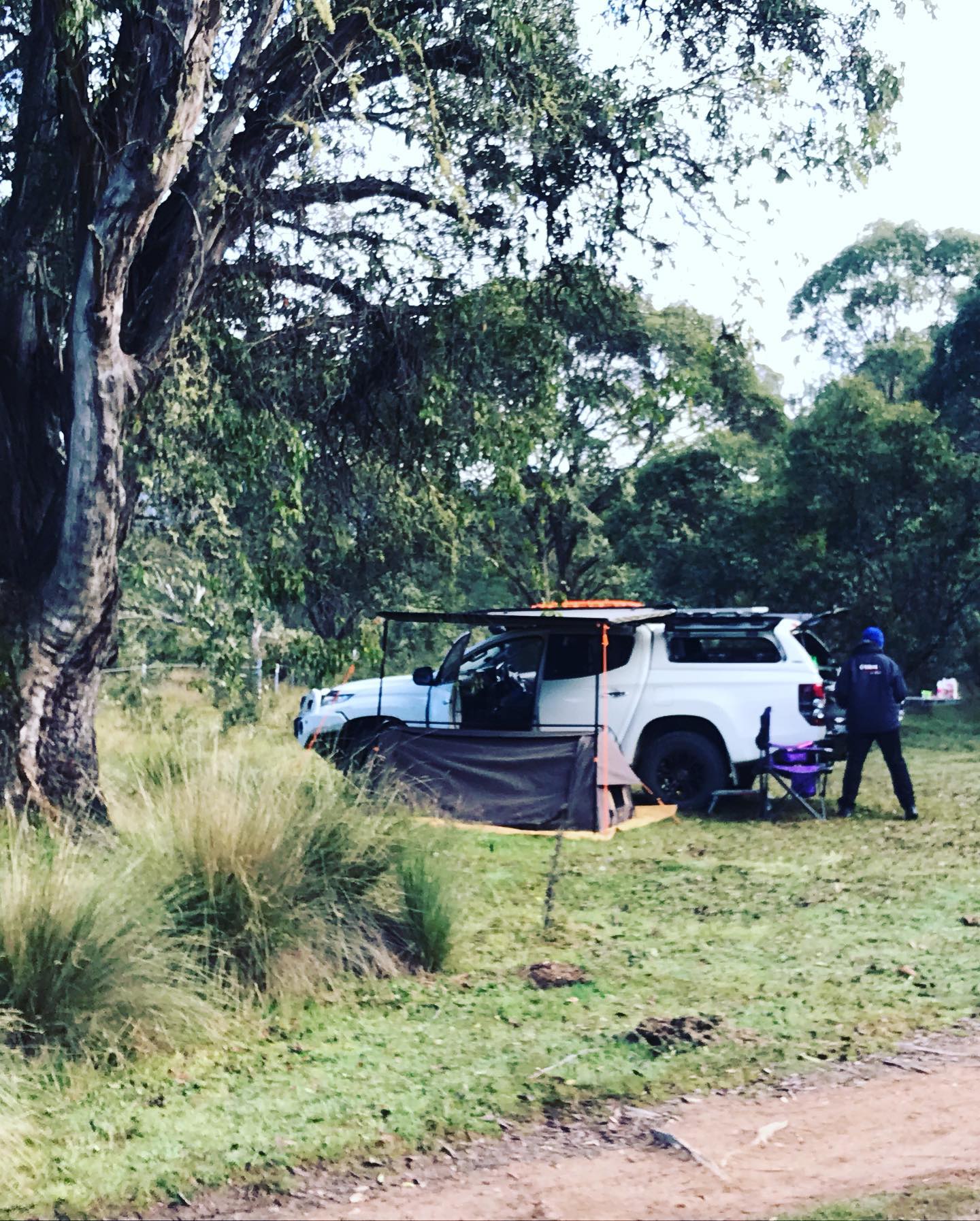
The morning was cold so the fire was lit to warm everyone up as they got out of their swags, it was a slow morning and we packed up camp and ended up leaving camp about 9.30am.
We were heading up towards Cowombat Flat track, we turned right going through the first Seasonal closure gate and we drove in this easy 2wd track for 4kms to the car park area for a look to see what we were up for. A Dozer had been in there the week before and made a complete mess of the environment, pushing up trees and branches to stop vehicles from driving through the first gate, then there is another gate down the track further. So we turned around and headed back out to Limestone road, we headed down Limestone road for 4kms, then had a hard right turn onto Limestone track and back into Low Range.
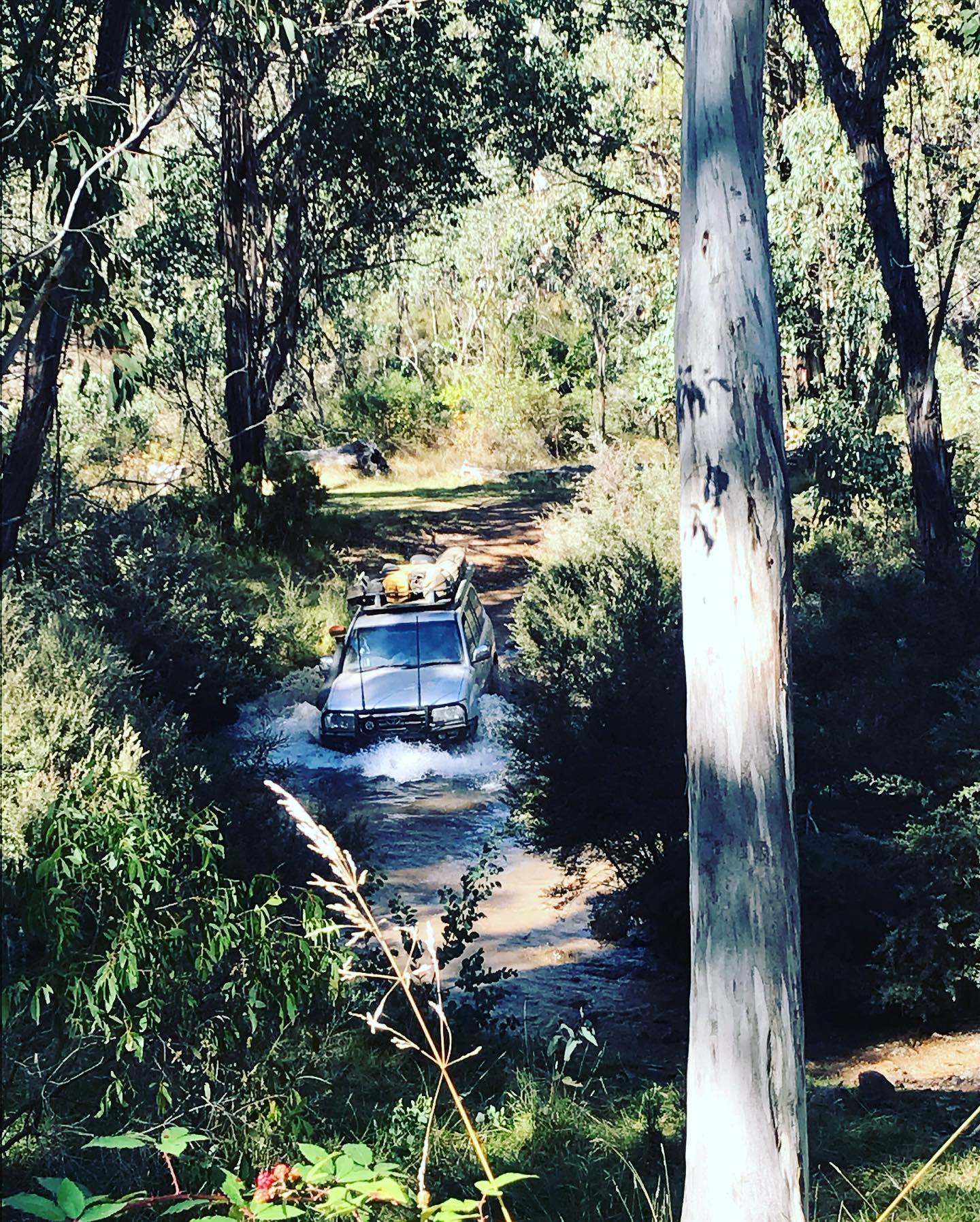
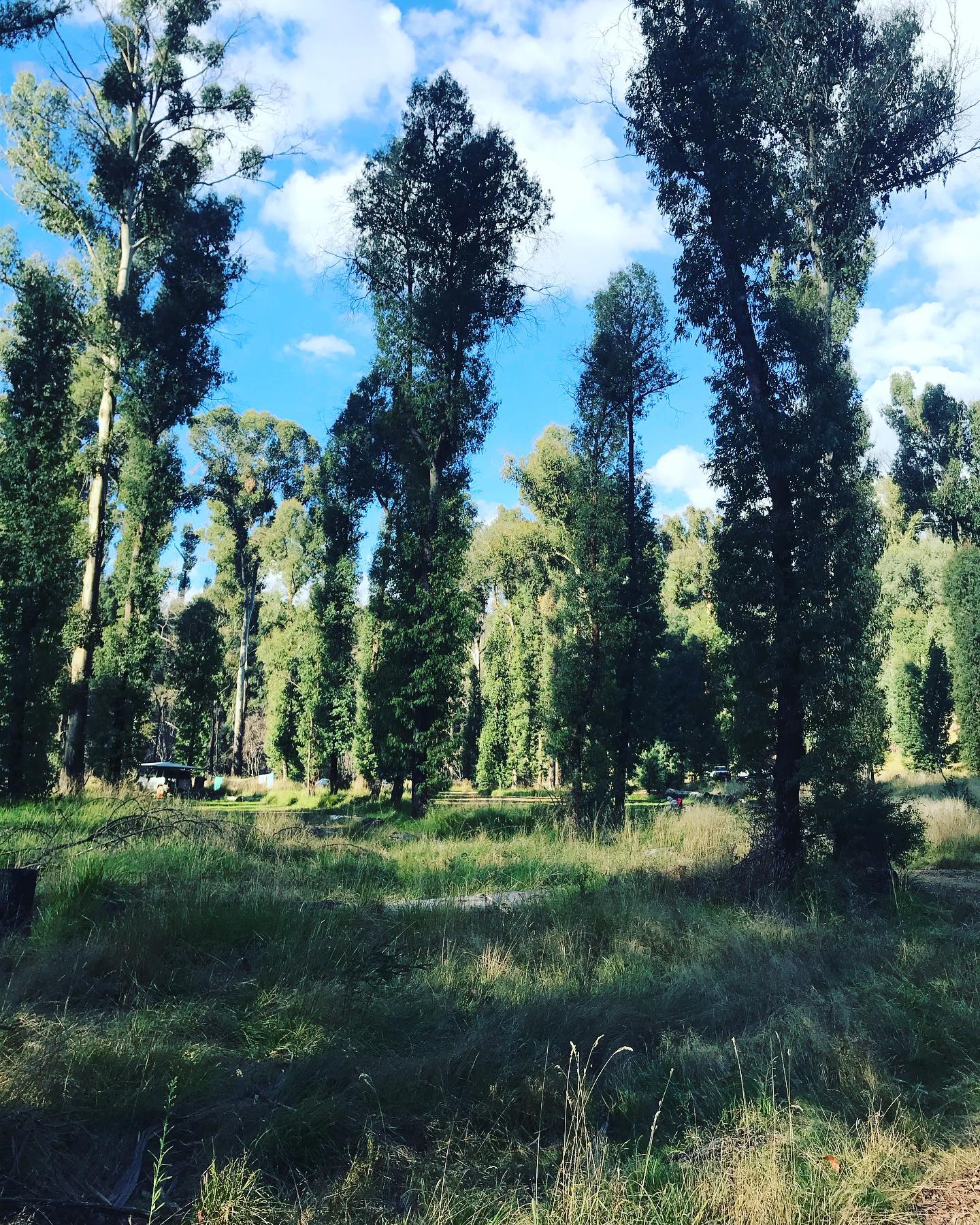
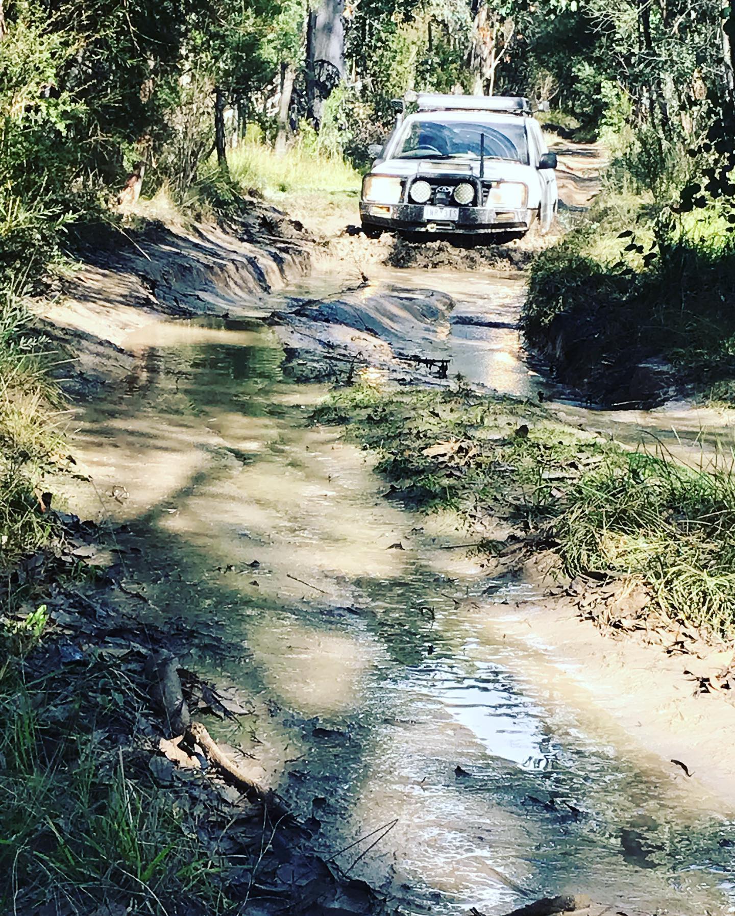
This track is amazing to drive with its Steep Ascent and Descents and the occasional wombat holes to make it a bit tricky on some hills, then the open areas of Limestone Camping area and the views you get are spectacular. We got to the end of Limestone track and turned right on McCarthys track down to the Poplars campsite. We started to have lunch down there on the Murray river, then we all got very comfortable so we ended up settling in and set up camp.
We went for a well deserved swim in the Murray river even though it was freezing cold, but worth it. Dean had a blow up kayak and walked upstream and kayaked back down river, (twice). We had the fire going all afternoon so it didn’t take long to warm up, then a great night around the fire.
Sunday
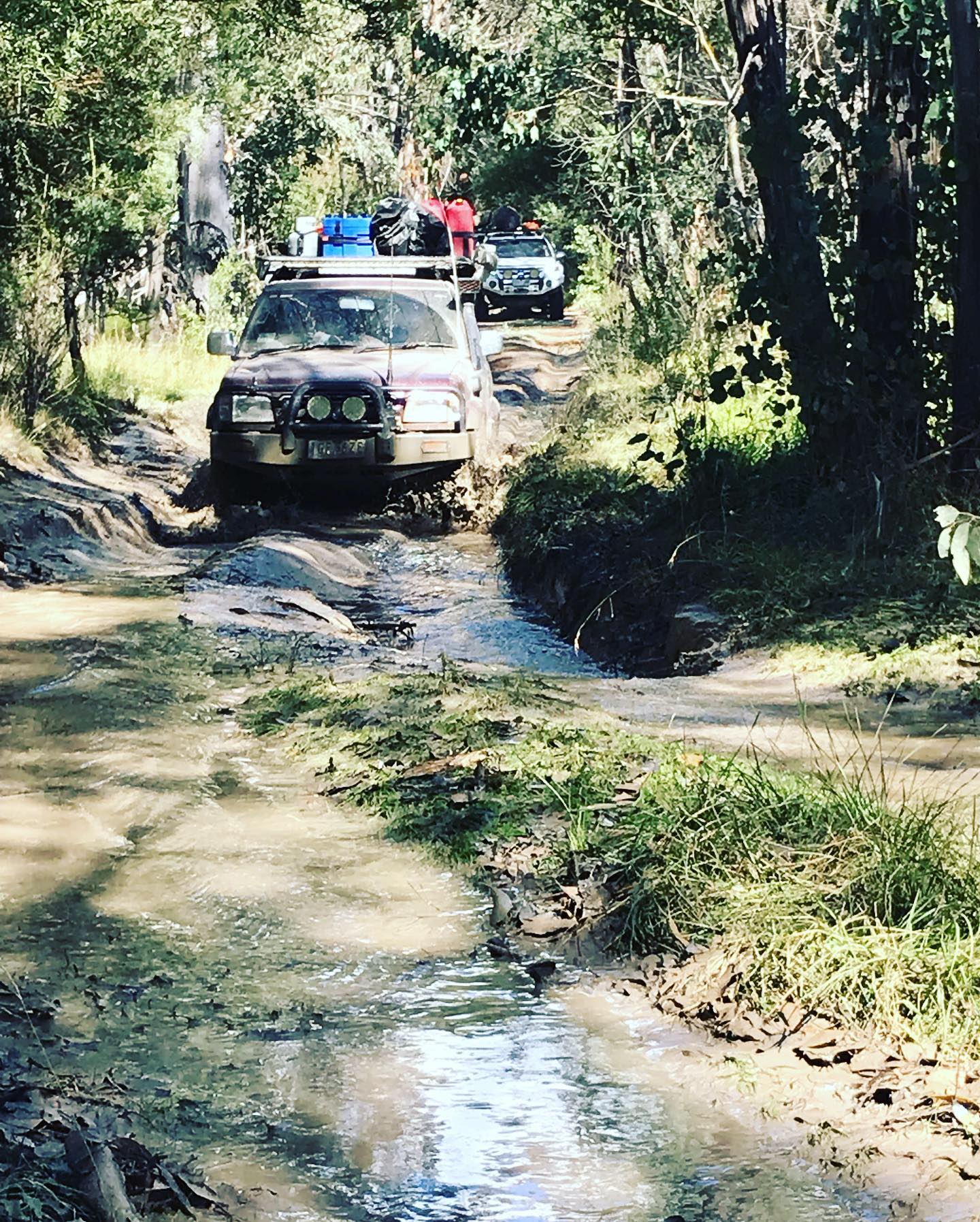
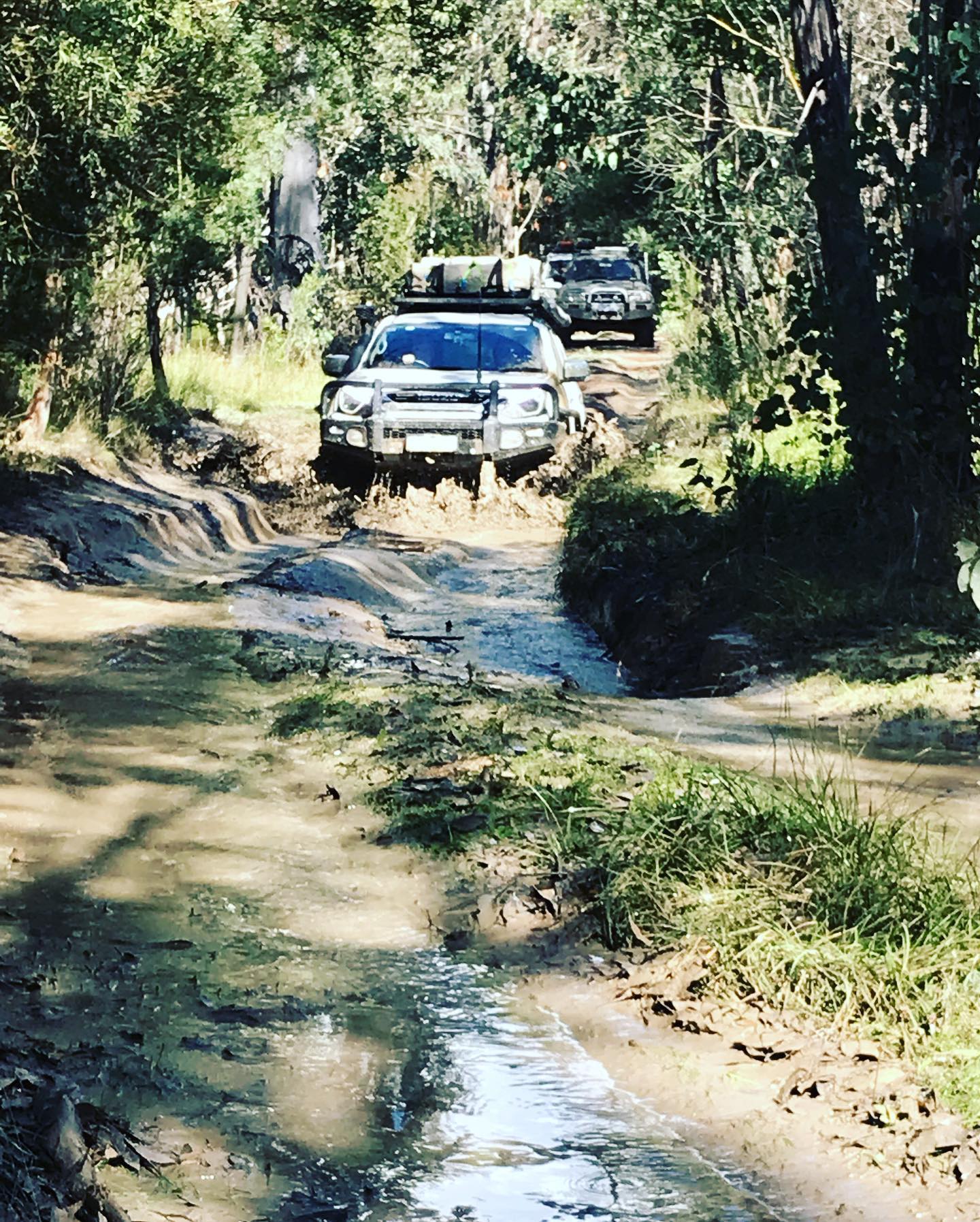
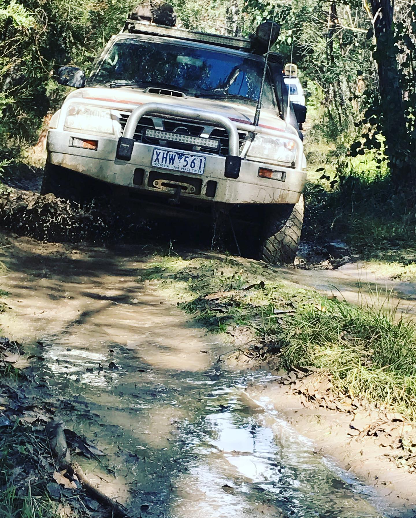
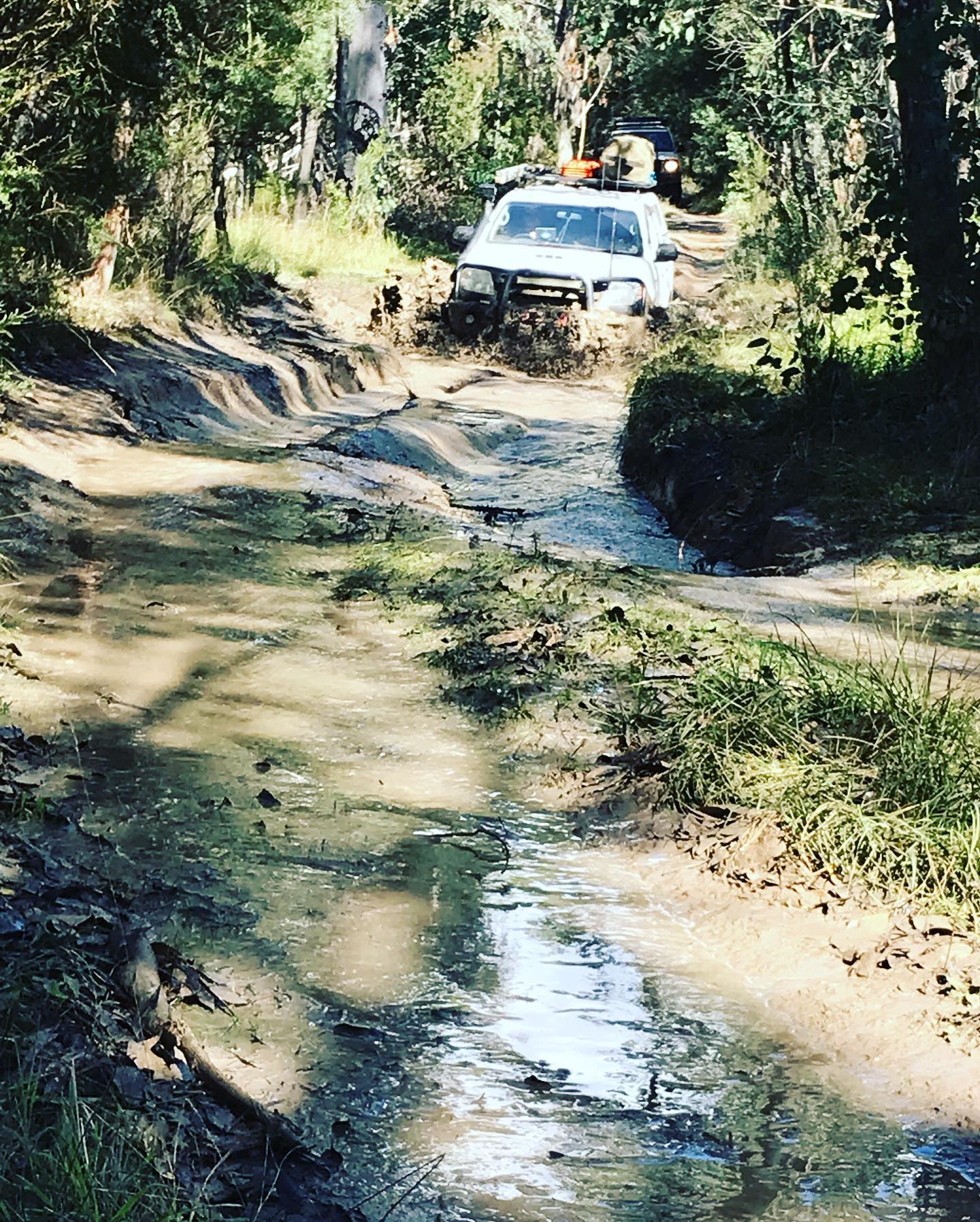
This morning we woke to a beautiful morning and a warm fire going, we knew it was going to be a big days driving. So we packed up camp after everyone having Bacon and Eggs for breakfast. A quick briefing and we were on the tracks, heading out of camp, everyone finding their spot in the convoy and through the bog holes and the climb out, back to the intersection of Limestone track and McCarthys track.
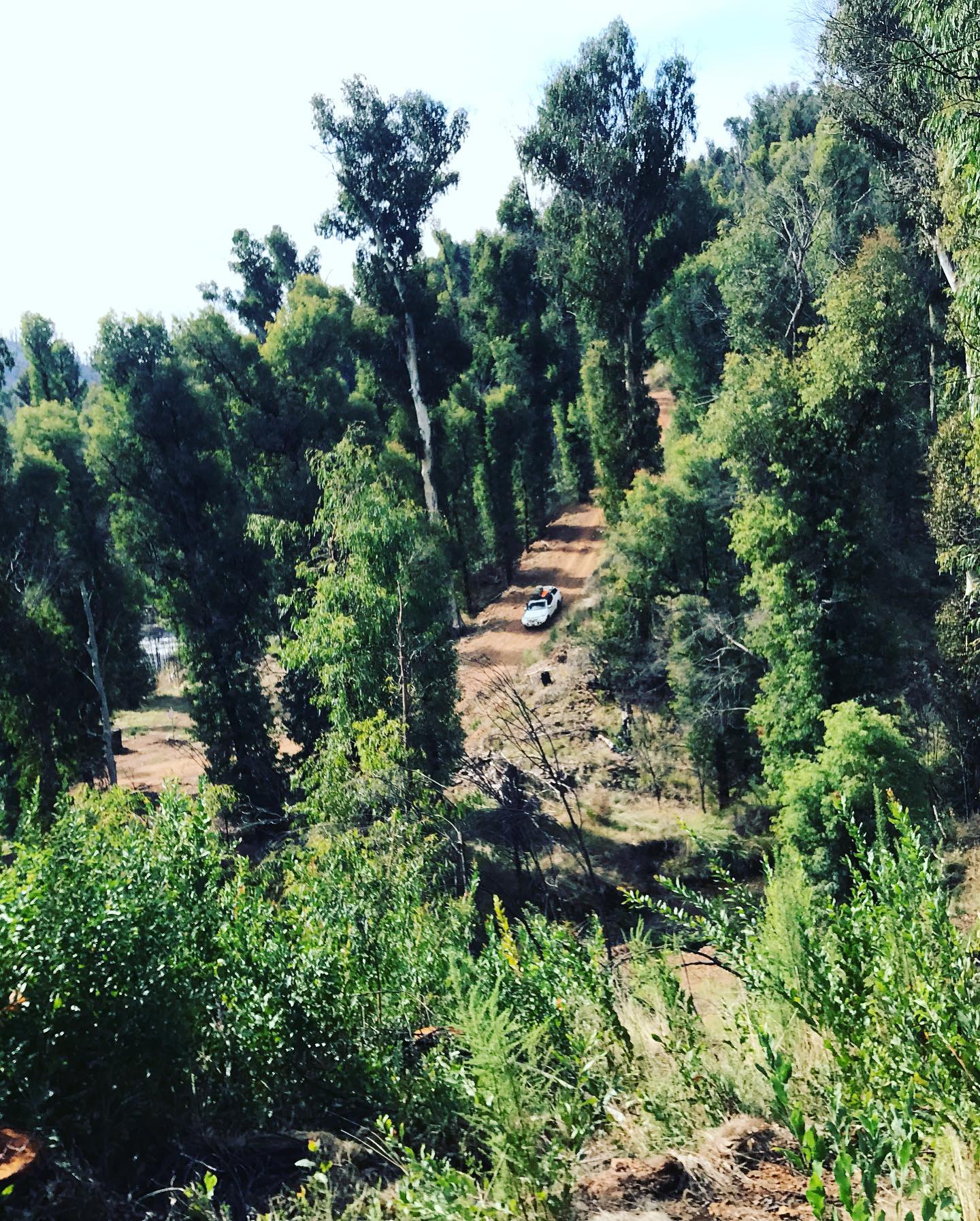
We headed straight up McCarthys track, this track is a nice steep climb out of the valley, passing Great Divide Tours on the way up with their 7 vehicles, we managed to all get around, then at the top the track flattens out on top of the ridge. We then come to the intersection of Davies Plain track, Davies was closed, due to works along the track being washed out in places.
So we headed straight on the Buckwong track, which heads straight down, “fairly steep but not too bad”, down into the Mt Murphy Historic area, we stopped at the Buckwong Hut for a smoko break. The Hut is permanently locked, being privately owned, there is also a big campsite down there with heaps of room.
We headed off again up Buckwong track till we got to Mt Hope road, we turned right and back into 2wd as it’s a dirt road for a while. We winded our way around Mt Hope at 1561m till we got to Mt Anderson road where we turned left, staying in 2wd for about another 5 kms in it turns to Mt Anderson track and into Low Range and the climb to the top of Mt Anderson, (where we camped on top of last year), turning right now onto Mt Gibbo track we followed this very scenic track to Wheelers Creek road and we had lunch, it was fairly windy up there so we stopped here in a slight valley out of the wind.
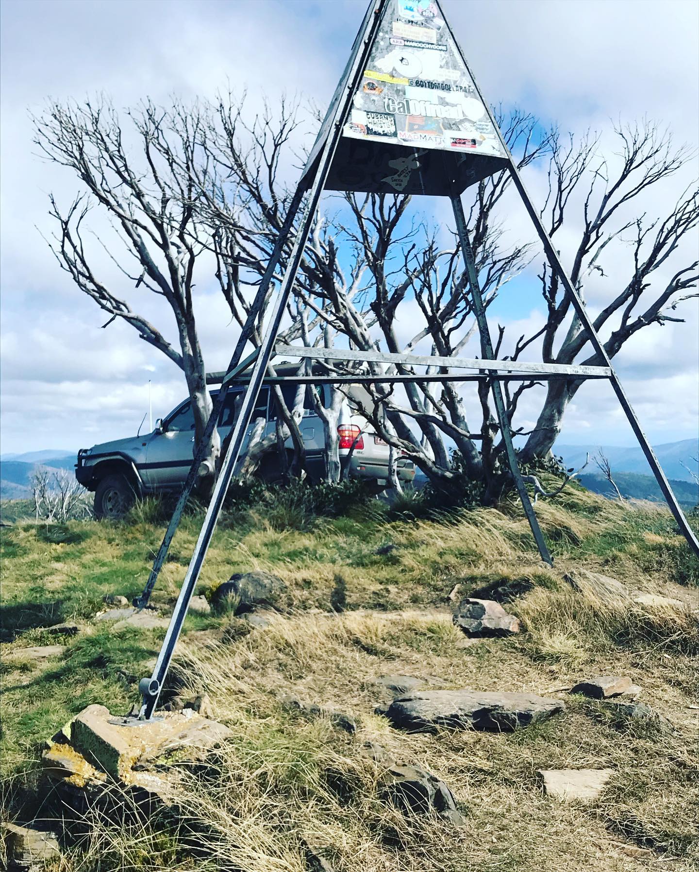
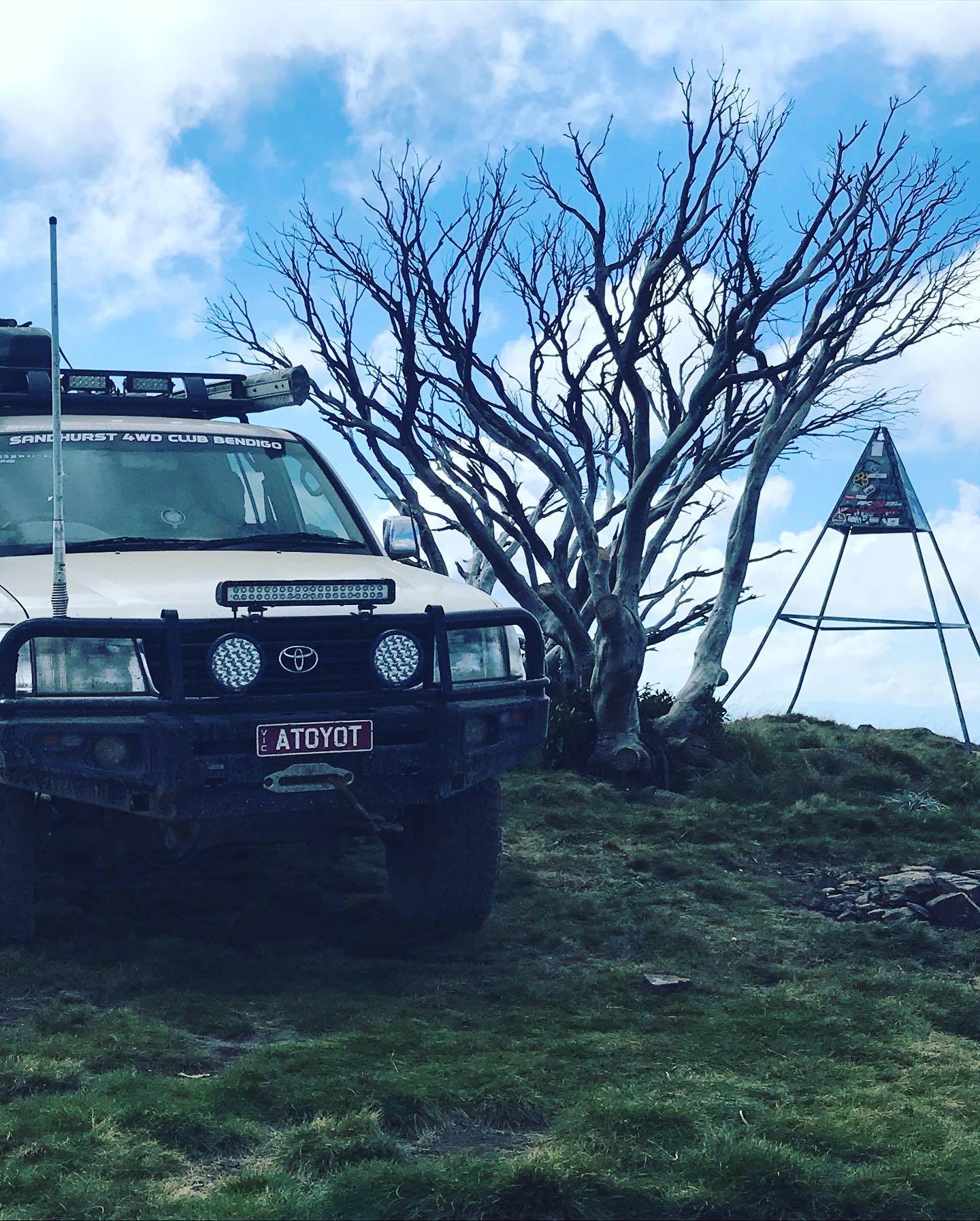
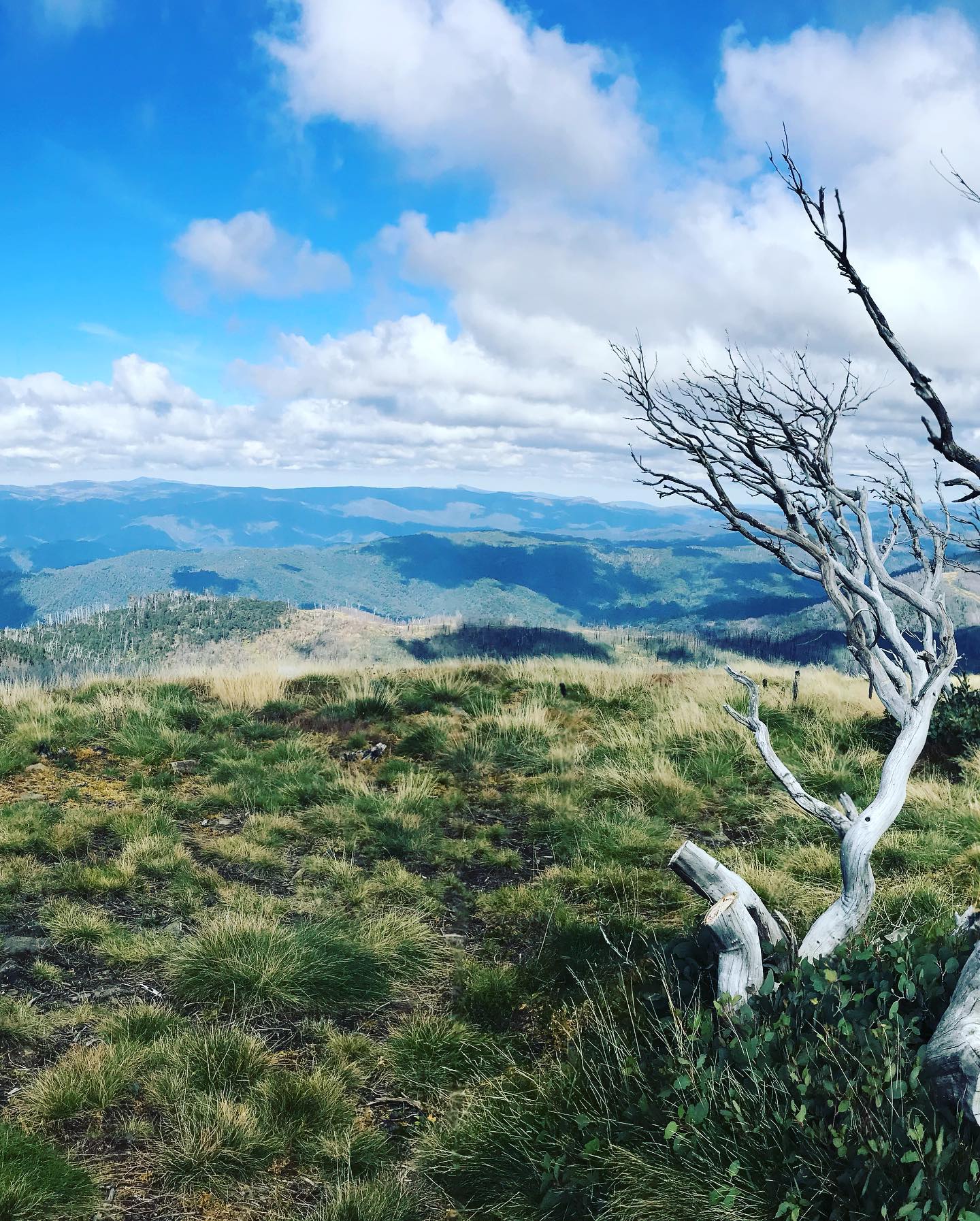
After lunch we continued on Mt Gibbo track then right at the end is a steep climb up to Mt Pinnibar track, we turned left up Mt Pinnibar track over the rock steps up to the Trigg point of Mt Pinnibar at 1773m, up the top we stopped for a look because the 360° views are magnificent, it was that windy up there it was blowing you nearly sideways, so quick photos and back into the vehicles.
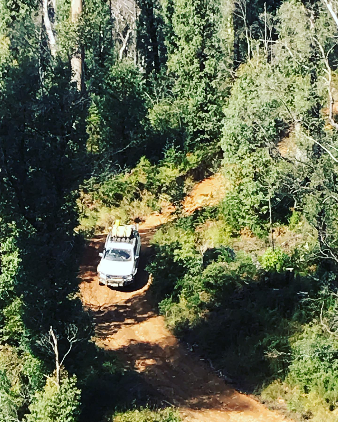
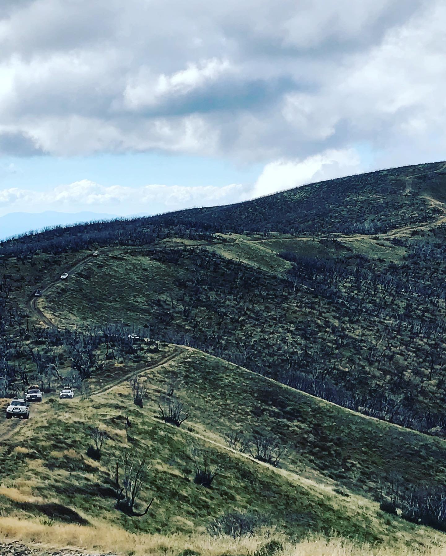
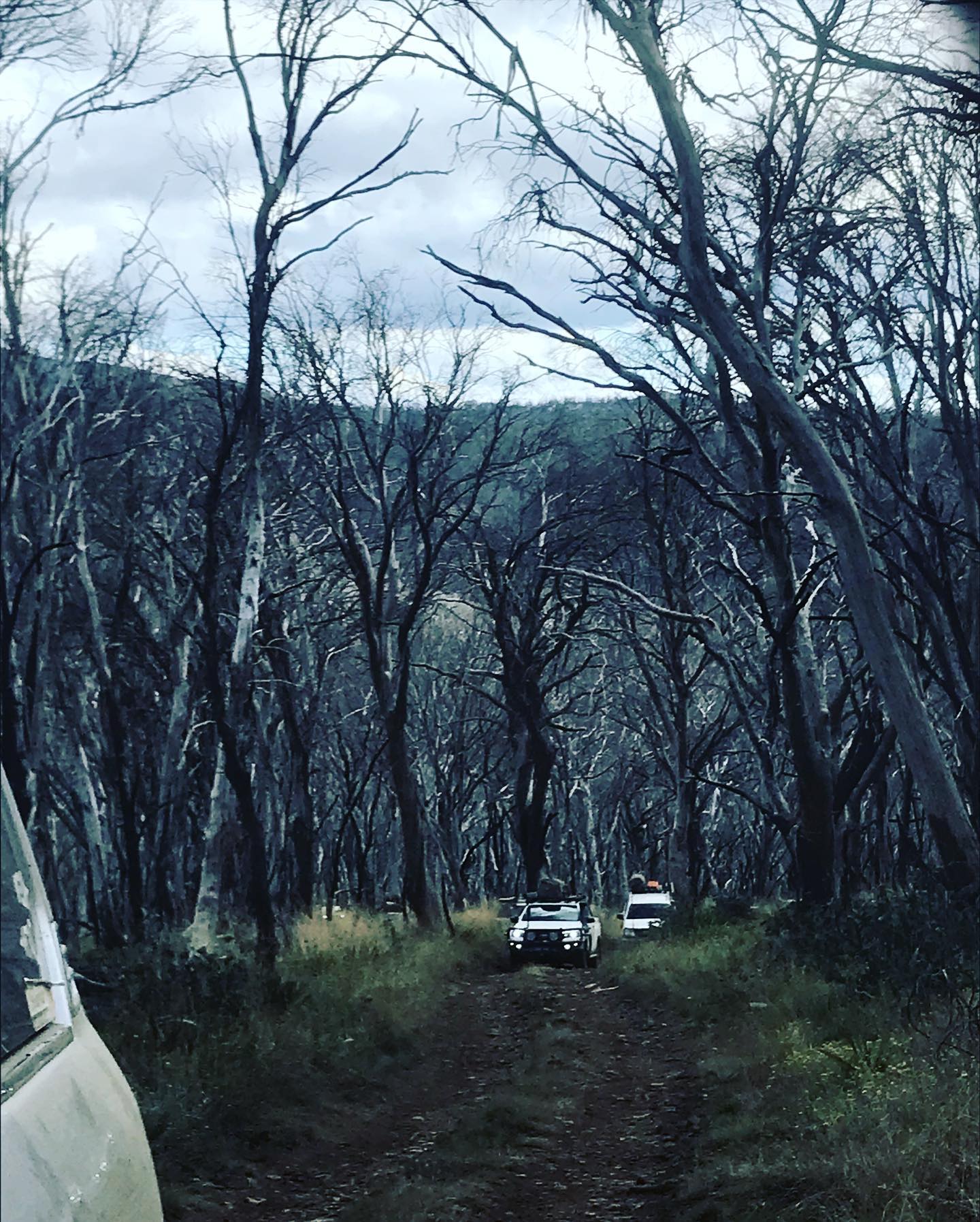
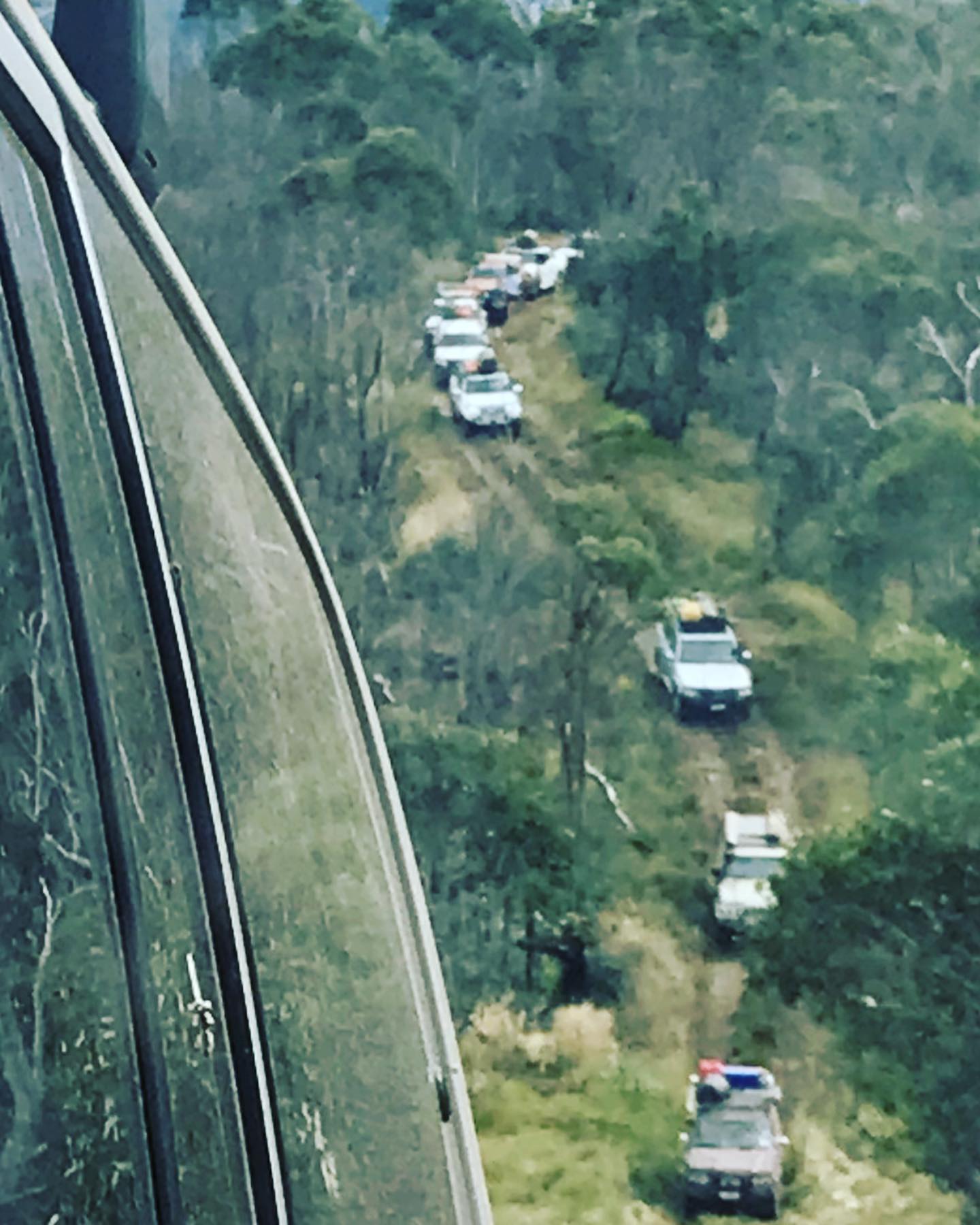
We then headed down Shady Creek Upper track, the drive down the ridge line is amazing especially turning back and getting photos of all the vehicles coming down. You drive the ridge line for a bit then the landscape changes as you get into the tree lined area, then you have a steep to very steep decline hill to tackle and rocky in places, most of the decline was in first gear Low Range. At the bottom you drive through Shady Creek river crossing, then back up again but this section is well graded so very easy. We came out a back onto Cattlemen track, then we went back down into Wheelers Hut campsite and this is where we did the Criss Cross part of the trip.
We went into camp and found a spot and set up camp, and lucky we did so early because a lot of vehicles came in later on. We cut firewood and lit the fire to a nice night around the fire.
Monday
We knew that we had rain coming sometime today so we packed up camp and it was our last day in High Country, well for at least this trip anyway, we were heading home today so I tried to make the drive out as scenic as I could. So we left camp at 9.00am and headed along Wheelers Creek Log road, over the bridge at Wheelers Creek then the climb to Corryong/Benambra road, we turned right and drove along the dirt road for a while, then we turned left onto Gibb Range road, here Brendan and Corrina left the trip to head to Corryong for an extended part of their trip.
We continued along Gibb Range road in 2wd, then we turned left onto Cranensville road into the Tallangatta Valley, where we aired up as we hit the asphalt and we drove through the Valley until we got onto the Murray Valley highway, we pulled up here and this is where the trip ended and we said our goodbyes, and we headed for home via Wodonga.
Participants
- Russell. 105 LandCruiser
- Deb and Robert. Isuzu
- Brendan and Corrina. 100 LandCruiser
- Karl. 105 LandCruiser
- Mick and Lou. Triton
- Luke. Hilux
- Alex. Nissan Patrol
- Dave and Angela. Nissan Patrol
- Wayne. Hilux
- Dave and Rob. Jackeroo
